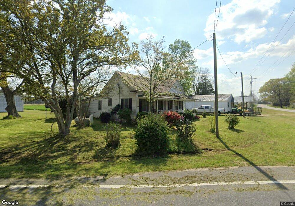
4471 Hwy 55 W Kinston, NC 28504
Estimated Value: $59,964 - $109,000
3
Beds
1
Bath
1,260
Sq Ft
$64/Sq Ft
Est. Value
About This Home
This home is located at 4471 Hwy 55 W, Kinston, NC 28504 and is currently estimated at $80,991, approximately $64 per square foot. 4471 Hwy 55 W is a home located in Lenoir County with nearby schools including Moss Hill Elementary School, Woodington Middle School, and South Lenoir High School.
Ownership History
Date
Name
Owned For
Owner Type
Purchase Details
Closed on
Aug 28, 2024
Sold by
Davis Jack Arthur and Davis Crystal T
Bought by
Register Kenneth
Current Estimated Value
Home Financials for this Owner
Home Financials are based on the most recent Mortgage that was taken out on this home.
Original Mortgage
$47,200
Outstanding Balance
$46,700
Interest Rate
6.78%
Mortgage Type
New Conventional
Estimated Equity
$34,291
Create a Home Valuation Report for This Property
The Home Valuation Report is an in-depth analysis detailing your home's value as well as a comparison with similar homes in the area
Home Values in the Area
Average Home Value in this Area
Purchase History
| Date | Buyer | Sale Price | Title Company |
|---|---|---|---|
| Register Kenneth | $47,500 | None Listed On Document |
Source: Public Records
Mortgage History
| Date | Status | Borrower | Loan Amount |
|---|---|---|---|
| Open | Register Kenneth | $47,200 |
Source: Public Records
Tax History Compared to Growth
Tax History
| Year | Tax Paid | Tax Assessment Tax Assessment Total Assessment is a certain percentage of the fair market value that is determined by local assessors to be the total taxable value of land and additions on the property. | Land | Improvement |
|---|---|---|---|---|
| 2024 | $566 | $59,926 | $24,400 | $35,526 |
| 2023 | $566 | $59,926 | $24,400 | $35,526 |
| 2022 | $554 | $59,926 | $24,400 | $35,526 |
| 2021 | $554 | $59,926 | $24,400 | $35,526 |
| 2020 | $554 | $59,926 | $24,400 | $35,526 |
| 2019 | $554 | $59,926 | $24,400 | $35,526 |
| 2018 | $545 | $59,926 | $24,400 | $35,526 |
| 2017 | $548 | $59,926 | $24,400 | $35,526 |
| 2014 | $636 | $60,354 | $24,400 | $35,954 |
| 2013 | -- | $60,354 | $24,400 | $35,954 |
| 2011 | -- | $60,354 | $24,400 | $35,954 |
Source: Public Records
Map
Nearby Homes
- 4662 N Carolina 55
- 1443 Bland Howell Rd
- 1031 Post Rider Dr
- 2048 Town Crier Rd
- 1020 Albrittons Rd
- 919 Albrittons Rd
- 3005 Condor Ct
- 3030 Falcon Ct
- 3043 Falcon Ct
- 6 N Carolina 11
- 3028 Condor Ct
- 3052 Condor Ct
- 5 N Carolina 11
- 222 Orange St
- 414 Wheat St
- 1088 Beaver Creek Rd
- 751 Tyree Rd
- 1175 Beaver Creek Rd
- 431 Joe Nunn Rd
- 1752 Woodland Ave
- 4487 Hwy 55 W
- 4459 Hwy 55 W
- 144 Rouse Adams Ln
- 4516 Nc Highway 55 W
- 2144 Greene Haynes Rd
- 4585 Hwy 55 W
- 159 N Croom Bland Rd
- 4333 Nc Highway 55 W
- 4309 Nc Highway 55 W
- 4269 Nc Highway 55 W
- 1015 N Croom Bland Rd
- 2020 Oakwood Dr
- 169 S Croom Bland Rd
- 1963 Winter Forest Dr
- 114 Victory Ln
- 1971 Winter Forest Dr
- 2067 Greene Haynes Rd
- 1951 Winter Forest Dr
- 1998 Oakwood Dr
- 1941 Winter Forest Dr