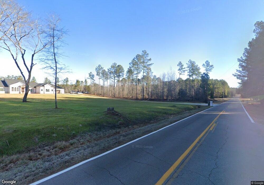
4471 Locklin Rd Monroe, GA 30655
Estimated Value: $1,202,000 - $2,015,000
Studio
--
Bath
6,849
Sq Ft
$220/Sq Ft
Est. Value
About This Home
This home is located at 4471 Locklin Rd, Monroe, GA 30655 and is currently estimated at $1,505,660, approximately $219 per square foot. 4471 Locklin Rd is a home located in Walton County with nearby schools including Monroe Elementary School, Carver Middle School, and Monroe Area High School.
Ownership History
Date
Name
Owned For
Owner Type
Purchase Details
Closed on
Jul 1, 2002
Sold by
Still James M and Still Janet W
Bought by
Wright William D
Current Estimated Value
Create a Home Valuation Report for This Property
The Home Valuation Report is an in-depth analysis detailing your home's value as well as a comparison with similar homes in the area
Purchase History
| Date | Buyer | Sale Price | Title Company |
|---|---|---|---|
| Wright William D | -- | -- |
Source: Public Records
Tax History Compared to Growth
Tax History
| Year | Tax Paid | Tax Assessment Tax Assessment Total Assessment is a certain percentage of the fair market value that is determined by local assessors to be the total taxable value of land and additions on the property. | Land | Improvement |
|---|---|---|---|---|
| 2025 | $12,992 | $465,520 | $79,120 | $386,400 |
| 2024 | $12,992 | $440,720 | $79,120 | $361,600 |
| 2023 | $12,837 | $423,240 | $75,200 | $348,040 |
| 2022 | $12,347 | $390,480 | $70,360 | $320,120 |
| 2021 | $9,460 | $290,360 | $54,720 | $235,640 |
| 2020 | $8,429 | $252,280 | $47,520 | $204,760 |
| 2019 | $7,997 | $228,720 | $42,200 | $186,520 |
| 2018 | $7,648 | $228,720 | $42,200 | $186,520 |
| 2017 | $7,220 | $209,560 | $39,440 | $170,120 |
| 2016 | $6,636 | $195,440 | $31,680 | $163,760 |
| 2015 | $6,447 | $186,840 | $31,680 | $155,160 |
| 2014 | $6,200 | $175,240 | $0 | $0 |
Source: Public Records
Map
Nearby Homes
- 1650 Locklin Cemetery Rd
- 1650 & 1620 Locklin Cemetery Rd
- 1299 McLeod Estates Dr
- 1085 Locklin Rd
- 1159 Locklin Rd
- 270 Springtime Way
- 424 Springtime Way
- 233 Jim Daws Rd
- 345 Mccall Way
- 1537 Lakeland Dr
- 2033 Seclusion Trail
- 1580 Lakeland Dr
- 1412 Palmer Dr
- 1421 Palmer Dr
- 1301 Riverhill Dr
- 1311 Riverhill Dr
- 1241 Riverhill Dr
- 1525 Riverstone Trail
- 1505 Riverstone Trail
- 1053 Riverstone Dr
- 1071 Riverstone Dr
- 4475 Locklin Rd
- 1515 Riverstone Trail
- 4465 Locklin Rd
- 1581 Locklin Cemetery Rd
- 4445 Locklin Rd
- 1535 Riverstone Trail
- 4455 Locklin Rd
- 4495 Locklin Rd
- 1530 Riverstone Trail
- 4505 Locklin Rd
- 4435 Locklin Rd
- 4425 Locklin Rd
- 4464 Locklin Rd
- 4458 Locklin Rd
- 1601 Locklin Cemetery Rd
- 1601 Locklin Cemetery Rd
