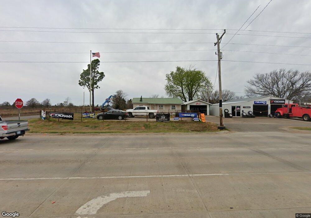
4471 S Harrah Rd Harrah, OK 73045
Estimated Value: $165,000 - $195,000
3
Beds
1
Bath
1,280
Sq Ft
$139/Sq Ft
Est. Value
About This Home
This home is located at 4471 S Harrah Rd, Harrah, OK 73045 and is currently estimated at $178,269, approximately $139 per square foot. 4471 S Harrah Rd is a home located in Oklahoma County with nearby schools including Anna May Daulton Elementary School, Louise Cabaniss Elementary School, and Cora Spencer Elementary School.
Ownership History
Date
Name
Owned For
Owner Type
Purchase Details
Closed on
Jan 18, 2024
Sold by
Tolle Brian A
Bought by
Tolle Family Trust
Current Estimated Value
Purchase Details
Closed on
Aug 31, 2011
Sold by
Quinton Dixie Faye
Bought by
Tolle Brian A
Home Financials for this Owner
Home Financials are based on the most recent Mortgage that was taken out on this home.
Original Mortgage
$80,895
Interest Rate
4.37%
Mortgage Type
FHA
Create a Home Valuation Report for This Property
The Home Valuation Report is an in-depth analysis detailing your home's value as well as a comparison with similar homes in the area
Home Values in the Area
Average Home Value in this Area
Purchase History
| Date | Buyer | Sale Price | Title Company |
|---|---|---|---|
| Tolle Family Trust | -- | None Listed On Document | |
| Tolle Brian A | -- | Stewart Escrow & Title |
Source: Public Records
Mortgage History
| Date | Status | Borrower | Loan Amount |
|---|---|---|---|
| Previous Owner | Tolle Brian A | $80,895 |
Source: Public Records
Tax History Compared to Growth
Tax History
| Year | Tax Paid | Tax Assessment Tax Assessment Total Assessment is a certain percentage of the fair market value that is determined by local assessors to be the total taxable value of land and additions on the property. | Land | Improvement |
|---|---|---|---|---|
| 2024 | $691 | $8,306 | $2,005 | $6,301 |
| 2023 | $691 | $8,064 | $2,227 | $5,837 |
| 2022 | $680 | $7,830 | $645 | $7,185 |
| 2021 | $657 | $7,602 | $795 | $6,807 |
| 2020 | $652 | $7,381 | $836 | $6,545 |
| 2019 | $629 | $7,166 | $795 | $6,371 |
| 2018 | $619 | $6,957 | $0 | $0 |
| 2017 | $586 | $6,754 | $636 | $6,118 |
| 2016 | $576 | $6,557 | $647 | $5,910 |
| 2015 | $551 | $6,366 | $885 | $5,481 |
| 2014 | $887 | $9,656 | $1,709 | $7,947 |
Source: Public Records
Map
Nearby Homes
- 4600 S Harrah Rd
- 21094 River Mist Dr
- 3816 Ada Ave
- 3881 River Mist Lake Dr
- 21086 River Mist Dr
- RC Wright Plan at River Mist
- RC Carnegie II Plan at River Mist
- RC Kinsley II Plan at River Mist
- RC Lowell II Plan at River Mist
- RC Coleman Plan at River Mist
- RC Raleigh Plan at River Mist
- RC Foster II Plan at River Mist
- 4332 Titan Terrace
- 21097 Rivermist Dr
- 3833 Dove Ave
- 3600 S Harrah Rd
- 3880 Louthea Ln
- 3888 Ada Ave
- 10112 Pennington St
- 10128 Pennington St
- 21126 Winding Brook
- 21127 Winding Brook
- 21134 Winding Brook
- 4700 S Harrah Rd
- 21148 Winding Brook
- 21160 SE 44th St
- 21156 Winding Brook
- 21196 River Mist
- 21185 River Mist
- 21228 River Mist
- 21204 River Mist
- 21193 River Mist
- 21225 River Mist
- 21217 River Mist
- 21244 River Mist
- 21233 River Mist
- 21209 River Mist
- 21201 River Mist
- 21164 Winding Brook
- 4345 Titan Terrace