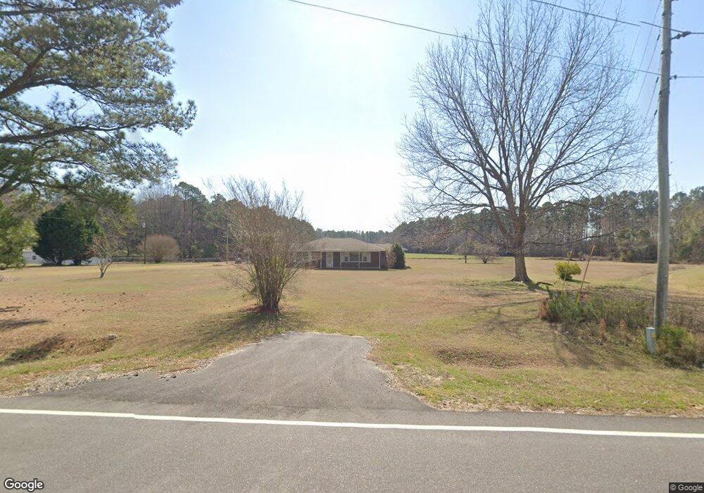
4473 Bill Davis Rd Summerton, SC 29148
Estimated Value: $190,000 - $314,000
--
Bed
--
Bath
1,710
Sq Ft
$148/Sq Ft
Est. Value
About This Home
This home is located at 4473 Bill Davis Rd, Summerton, SC 29148 and is currently estimated at $253,410, approximately $148 per square foot. 4473 Bill Davis Rd is a home with nearby schools including Summerton Early Childhood Center, Dr. Rose H. Wilder Elementary, and Scott's Branch Middle School.
Ownership History
Date
Name
Owned For
Owner Type
Purchase Details
Closed on
Feb 10, 2013
Sold by
Brunson Charles William and Brunson Phyllis Mccabe
Bought by
Brunson Charels William and Brunson Phyllis M
Current Estimated Value
Home Financials for this Owner
Home Financials are based on the most recent Mortgage that was taken out on this home.
Original Mortgage
$163,500
Interest Rate
3.56%
Mortgage Type
Reverse Mortgage Home Equity Conversion Mortgage
Create a Home Valuation Report for This Property
The Home Valuation Report is an in-depth analysis detailing your home's value as well as a comparison with similar homes in the area
Home Values in the Area
Average Home Value in this Area
Purchase History
| Date | Buyer | Sale Price | Title Company |
|---|---|---|---|
| Brunson Charels William | -- | None Available |
Source: Public Records
Mortgage History
| Date | Status | Borrower | Loan Amount |
|---|---|---|---|
| Closed | Brunson Charels William | $163,500 |
Source: Public Records
Tax History Compared to Growth
Tax History
| Year | Tax Paid | Tax Assessment Tax Assessment Total Assessment is a certain percentage of the fair market value that is determined by local assessors to be the total taxable value of land and additions on the property. | Land | Improvement |
|---|---|---|---|---|
| 2024 | $217 | $2,800 | $752 | $2,048 |
| 2023 | $214 | $2,800 | $752 | $2,048 |
| 2022 | $212 | $2,800 | $752 | $2,048 |
| 2021 | $119 | $2,508 | $380 | $2,128 |
| 2020 | $108 | $2,508 | $380 | $2,128 |
| 2019 | $114 | $2,508 | $380 | $2,128 |
| 2018 | $109 | $2,508 | $0 | $0 |
| 2017 | $109 | $2,508 | $0 | $0 |
| 2016 | $106 | $2,508 | $0 | $0 |
| 2015 | $156 | $2,752 | $380 | $2,372 |
| 2014 | $154 | $2,752 | $380 | $2,372 |
| 2013 | -- | $2,752 | $380 | $2,372 |
Source: Public Records
Map
Nearby Homes
- 0 Eddie Davis Rd
- 0 Tbd Scott Lake Dr
- 1143 Mabe Dr
- Lot 55 Mabe Dr
- Lot 71 Mccoy Dr
- 0 Stonecrop Rd
- 2332 Bill Davis Rd
- 0 Rogers Rd Unit 161451
- 1038 Gin Pond Dr
- 1052 Detwiler St
- 1082 Bridge View Ln Unit A101
- 1090 Bridgeview Ln Unit 201
- 0 Gin Pond Dr Unit 170027
- 1701 Rogers Rd
- 1318 Taw Caw Dr
- 001 House Rd
- 2293 Cotton Ln
- Lot 2A M W Rickenbaker Rd
- 7082 M W Rickenbaker Rd
- 3179 Edwards Dr
- 4511 Bill Davis Rd
- 4600 Bill Davis Rd
- 4155 Bill Davis Rd
- 1572 J R and F A Richburg Rd
- 1632 J R and F A Richburg Rd
- 1582 J R and F A Richburg Rd
- 5119 Bill Davis Rd
- 1584 J R and F A Richburg Rd
- 1678 J R and F A Richburg Rd
- 1835 Steadman Rd
- 34.1 Steadman Rd
- 0 Steadman Rd
- 1967 William Brunson Rd
- 1886 William Brunson Rd
- 2537 William Brunson Rd
- 00 William Bronson Rd
- 1085 Penn Brook Dr
- 1998 William Brunson Rd
- 2288 Steadman Rd
- 2133 Steadman Rd