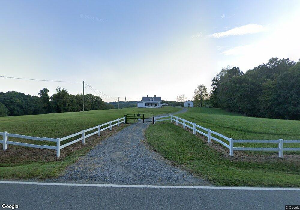
4474 Westfield Rd Mount Airy, NC 27030
Estimated Value: $208,000 - $352,738
3
Beds
1
Bath
1,304
Sq Ft
$205/Sq Ft
Est. Value
About This Home
This home is located at 4474 Westfield Rd, Mount Airy, NC 27030 and is currently estimated at $267,246, approximately $204 per square foot. 4474 Westfield Rd is a home with nearby schools including Westfield Elementary School, Pilot Mountain Middle School, and East Surry High School.
Ownership History
Date
Name
Owned For
Owner Type
Purchase Details
Closed on
Feb 1, 2025
Sold by
Joyce Roy and Joyce Olga
Bought by
Roy & Olga Joyce Family Revocable Trust and Joyce
Current Estimated Value
Purchase Details
Closed on
May 10, 2006
Sold by
Joyce Ronald W and Joyce Laura S
Bought by
Joyce Roy L and Joyce Olga S
Purchase Details
Closed on
Aug 1, 1995
Purchase Details
Closed on
Feb 1, 1990
Purchase Details
Closed on
Jan 1, 1986
Create a Home Valuation Report for This Property
The Home Valuation Report is an in-depth analysis detailing your home's value as well as a comparison with similar homes in the area
Home Values in the Area
Average Home Value in this Area
Purchase History
| Date | Buyer | Sale Price | Title Company |
|---|---|---|---|
| Roy & Olga Joyce Family Revocable Trust | -- | None Listed On Document | |
| Roy & Olga Joyce Family Revocable Trust | -- | None Listed On Document | |
| Joyce Roy L | $135,000 | None Available | |
| -- | -- | -- | |
| -- | -- | -- | |
| -- | -- | -- |
Source: Public Records
Tax History Compared to Growth
Tax History
| Year | Tax Paid | Tax Assessment Tax Assessment Total Assessment is a certain percentage of the fair market value that is determined by local assessors to be the total taxable value of land and additions on the property. | Land | Improvement |
|---|---|---|---|---|
| 2025 | $487 | $73,320 | $30,070 | $43,250 |
| 2024 | $436 | $59,320 | $0 | $0 |
| 2023 | $429 | $59,320 | $0 | $0 |
| 2022 | $429 | $59,320 | $0 | $0 |
| 2021 | $436 | $59,320 | $0 | $0 |
| 2020 | $444 | $59,230 | $0 | $0 |
| 2019 | $441 | $59,230 | $0 | $0 |
| 2018 | $425 | $59,230 | $0 | $0 |
| 2017 | $417 | $59,230 | $0 | $0 |
| 2016 | $417 | $59,230 | $0 | $0 |
| 2013 | -- | $60,160 | $0 | $0 |
Source: Public Records
Map
Nearby Homes
- 733 Slate Mountain Rd
- 140 Daniels Dell Ln
- 583 Snody Rd
- 00 Blue Hollow Rd Unit 5
- 0 Norman Rd
- 107 Cory Trail
- 7.8ac Norman Rd
- 0 Blue Hollow Rd Unit 33 1176021
- 0 Blue Hollow Rd Unit 23105199
- 000 Blue Hollow Rd Unit 27
- Lot 4,5,6 Sideview Ln
- 203 Brannock Ln
- 731 Indian Grove Church Rd
- 109 Dorothy Ln
- 0 NE Pine St
- Lot 5 Howell Rd
- 200 Englewood Trail
- 00 Albion Church Rd
- 759 Cameron Ln
- 1970 Mcbride Rd
- 4489 Westfield Rd
- 4405 Westfield Rd
- 114 Athey Simmons Rd
- TBD Westfield Rd
- 4581 Westfield Rd
- 4333 Westfield Rd
- 166 Athey Simmons Rd
- 189 Athey Simmons Rd
- 4291 Westfield Rd
- 205 Athey Simmons Rd
- 173 Cain Rd
- 219 Athey Simmons Rd
- 4650 Westfield Rd
- 4256 Westfield Rd
- 168 Cain Rd
- 237 Athey Simmons Rd
- 4242 Westfield Rd
- 4657 Westfield Rd
- 143 Bobsled Ln
- 4202 Westfield Rd