Estimated Value: $191,000 - $197,587
3
Beds
2
Baths
1,532
Sq Ft
$127/Sq Ft
Est. Value
About This Home
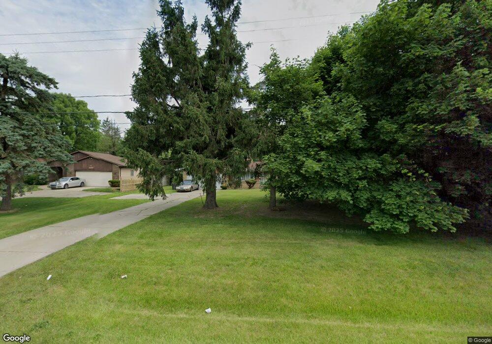
This home is located at 4476 Calkins Rd, Flint, MI 48532 and is currently estimated at $194,147, approximately $126 per square foot. 4476 Calkins Rd is a home located in Genesee County with nearby schools including Carman-Ainsworth High School, Genesee STEM Academy, and St. Paul Lutheran School.
Ownership History
Date
Name
Owned For
Owner Type
Purchase Details
Closed on
Nov 14, 2005
Sold by
Edwards Sidney and Edwards Blanche
Bought by
Conner Joyce A
Current Estimated Value
Purchase Details
Closed on
Aug 4, 2003
Sold by
Dawson Elizabeth and Dawson Charles William
Bought by
Edwards Sidney and Edwards Blanche
Create a Home Valuation Report for This Property
The Home Valuation Report is an in-depth analysis detailing your home's value as well as a comparison with similar homes in the area
Home Values in the Area
Average Home Value in this Area
Purchase History
| Date | Buyer | Sale Price | Title Company |
|---|---|---|---|
| Conner Joyce A | $146,500 | Guaranty Title Company | |
| Edwards Sidney | $137,000 | Guaranty Title Company |
Source: Public Records
Tax History Compared to Growth
Tax History
| Year | Tax Paid | Tax Assessment Tax Assessment Total Assessment is a certain percentage of the fair market value that is determined by local assessors to be the total taxable value of land and additions on the property. | Land | Improvement |
|---|---|---|---|---|
| 2025 | $2,229 | $77,400 | $0 | $0 |
| 2024 | $1,173 | $78,500 | $0 | $0 |
| 2023 | $1,120 | $74,300 | $0 | $0 |
| 2022 | $950 | $63,700 | $0 | $0 |
| 2021 | $1,966 | $58,100 | $0 | $0 |
| 2020 | $1,006 | $56,100 | $0 | $0 |
| 2019 | $991 | $54,700 | $0 | $0 |
| 2018 | $1,832 | $51,500 | $0 | $0 |
| 2017 | $1,763 | $51,500 | $0 | $0 |
| 2016 | $1,810 | $50,500 | $0 | $0 |
| 2015 | $1,665 | $43,900 | $0 | $0 |
| 2014 | $988 | $42,100 | $0 | $0 |
| 2012 | -- | $39,800 | $39,800 | $0 |
Source: Public Records
Map
Nearby Homes
- 1090 Cabot Dr
- 1159 N Linden Rd
- 1193 Normandy Terrace Dr
- 2 Charter Dr
- 1246 Dyemeadow Ln
- 0 Charter Dr Unit 50153638
- 5104 Shady Oak Trail
- 5297 Oaktree Dr
- 3.9 Acres W Court St
- 5325 N Dyewood Dr
- 1058 Cora Dr
- 5021 Forest Side Dr
- 1068 S Graham Rd
- 1391 Dye Krest Cir
- 5345 Birchtree Ct
- Graham Rd N Graham Rd
- 1194 Woodkrest Dr
- 1260 Gilbert St
- 1136 Gilbert St
- 4480 Corunna Rd
- 4486 Calkins Rd
- 1015 Cabot Dr
- 1031 Cabot Dr
- 4496 Calkins Rd
- 4450 Calkins Rd
- 1030 N Linden Rd
- 1030 N Linden Rd
- 1030 N Linden Rd
- 1036 Cabot Dr
- 1051 Cabot Dr
- 4438 Calkins Rd
- 1020 Charter Dr
- 1020 Charter Dr Unit C & E
- 1020 Charter Dr Unit E
- 1061 Cabot Dr
- 1048 Cabot Dr
- 1026 Sussex Ln
- 620 S Linden Rd
- 1071 Cabot Dr
- 1068 Cabot Dr