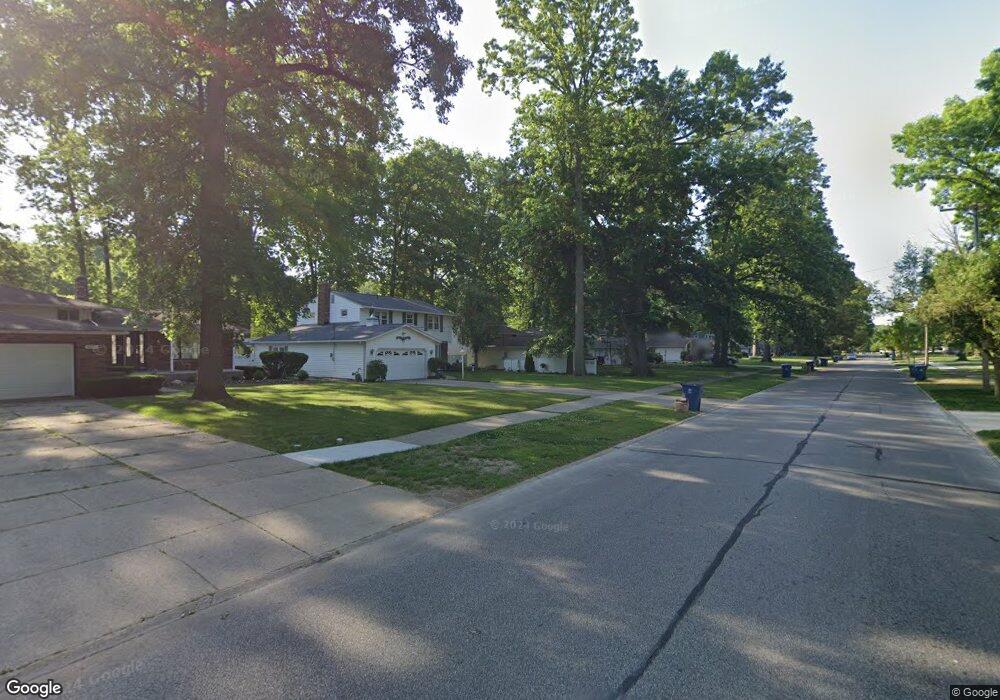
4477 Michael Ave North Olmsted, OH 44070
Estimated Value: $291,000 - $317,000
4
Beds
3
Baths
2,048
Sq Ft
$149/Sq Ft
Est. Value
About This Home
This home is located at 4477 Michael Ave, North Olmsted, OH 44070 and is currently estimated at $306,145, approximately $149 per square foot. 4477 Michael Ave is a home located in Cuyahoga County with nearby schools including Maple Intermediate Elementary School, Pine Intermediate School, and North Olmsted Middle School.
Ownership History
Date
Name
Owned For
Owner Type
Purchase Details
Closed on
Apr 28, 2006
Sold by
Christiana Bank & Trust Co
Bought by
Sabo Jeffry M and Sabo Lana R
Current Estimated Value
Home Financials for this Owner
Home Financials are based on the most recent Mortgage that was taken out on this home.
Original Mortgage
$121,000
Interest Rate
8.46%
Mortgage Type
Purchase Money Mortgage
Purchase Details
Closed on
Nov 30, 2005
Sold by
Spencer John K and Spencer Michelle L
Bought by
Christiana Bank & Trust Co
Purchase Details
Closed on
Jul 28, 1997
Sold by
Kratzer Wayne R
Bought by
Al John K Spencer
Home Financials for this Owner
Home Financials are based on the most recent Mortgage that was taken out on this home.
Original Mortgage
$132,000
Interest Rate
7.81%
Mortgage Type
New Conventional
Purchase Details
Closed on
Apr 1, 1996
Sold by
Kratzer Wayne R
Bought by
Kratzer Wayne R and Kratzer John
Home Financials for this Owner
Home Financials are based on the most recent Mortgage that was taken out on this home.
Original Mortgage
$120,582
Interest Rate
6.98%
Mortgage Type
New Conventional
Purchase Details
Closed on
Dec 27, 1993
Sold by
Kratzer Wayne R
Bought by
Kratzer Wayne R
Purchase Details
Closed on
Jul 26, 1978
Sold by
Mast Robert P
Bought by
Kratzer Wayne R
Purchase Details
Closed on
Mar 31, 1977
Sold by
Duskey Robt W and Duskey Carol H
Bought by
Mast Robert P
Purchase Details
Closed on
Jan 1, 1975
Bought by
Duskey Robt W and Duskey Carol H
Create a Home Valuation Report for This Property
The Home Valuation Report is an in-depth analysis detailing your home's value as well as a comparison with similar homes in the area
Home Values in the Area
Average Home Value in this Area
Purchase History
| Date | Buyer | Sale Price | Title Company |
|---|---|---|---|
| Sabo Jeffry M | $121,000 | Attorney Title | |
| Christiana Bank & Trust Co | $140,000 | Attorney | |
| Al John K Spencer | $10,178 | -- | |
| Kratzer Wayne R | $87,263 | -- | |
| Kratzer Wayne R | -- | -- | |
| Kratzer Wayne R | $75,000 | -- | |
| Mast Robert P | $62,800 | -- | |
| Duskey Robt W | -- | -- |
Source: Public Records
Mortgage History
| Date | Status | Borrower | Loan Amount |
|---|---|---|---|
| Previous Owner | Sabo Jeffry M | $121,000 | |
| Previous Owner | Al John K Spencer | $132,000 | |
| Previous Owner | Kratzer Wayne R | $120,582 |
Source: Public Records
Tax History
| Year | Tax Paid | Tax Assessment Tax Assessment Total Assessment is a certain percentage of the fair market value that is determined by local assessors to be the total taxable value of land and additions on the property. | Land | Improvement |
|---|---|---|---|---|
| 2025 | $6,470 | $95,445 | $17,815 | $77,630 |
| 2024 | $6,541 | $95,445 | $17,815 | $77,630 |
| 2023 | $5,663 | $69,340 | $16,490 | $52,850 |
| 2022 | $5,751 | $69,340 | $16,490 | $52,850 |
| 2021 | $5,219 | $69,340 | $16,490 | $52,850 |
| 2020 | $4,792 | $56,390 | $13,410 | $42,980 |
| 2019 | $4,666 | $161,100 | $38,300 | $122,800 |
| 2018 | $4,576 | $56,390 | $13,410 | $42,980 |
| 2017 | $4,494 | $49,280 | $10,990 | $38,290 |
| 2016 | $4,455 | $49,280 | $10,990 | $38,290 |
| 2015 | $4,392 | $49,280 | $10,990 | $38,290 |
| 2014 | $4,392 | $48,300 | $10,780 | $37,520 |
Source: Public Records
Map
Nearby Homes
- 4408 Brendan Ln
- 4666 Brendan Cir
- 4430 Bentley Dr
- 4642 Grace Rd
- 23052 Mastick Rd
- 4057 Brendan Ln
- 22900 Mastick Rd
- 22934 Mastick Rd Unit 102
- 22550 Lenox Dr
- 22624 Lenox Dr Unit 712
- 4777 Columbia Rd Unit 203
- 0 Mastick Rd Unit 5112571
- 4179 Columbia Rd Unit 213
- 4179 Columbia Rd
- 4183 Columbia Rd Unit 121
- 0 V L Clareshire Dr
- 22337 Sandy Ln
- 22506 Sharon Ln
- 23993 Fairlawn Dr
- 3675 Clague Rd Unit 302
- 4465 Michael Ave
- 4489 Michael Ave
- 4453 Michael Ave
- 4501 Michael Ave
- 4492 Brendan Ln
- 4478 Brendan Ln
- 4506 Brendan Ln
- 4441 Michael Ave
- 4513 Michael Ave
- 4464 Brendan Ln
- 4478 Michael Ave
- 4466 Michael Ave
- 4490 Michael Ave
- 4534 Brendan Ln
- 4450 Brendan Ln
- 4525 Michael Ave
- 4454 Michael Ave
- 4502 Michael Ave
- 4548 Brendan Ln
- 4436 Brendan Ln
Your Personal Tour Guide
Ask me questions while you tour the home.