Estimated Value: $364,497 - $509,000
6
Beds
2
Baths
2,755
Sq Ft
$148/Sq Ft
Est. Value
About This Home
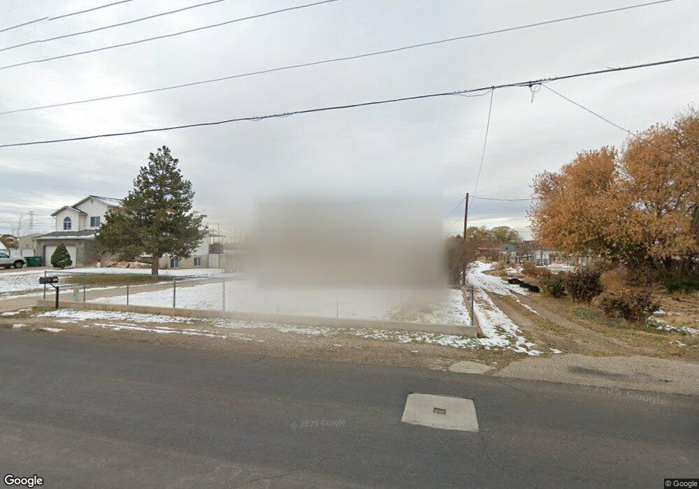
This home is located at 4479 S 3100 W, Roy, UT 84067 and is currently estimated at $406,624, approximately $147 per square foot. 4479 S 3100 W is a home located in Weber County with nearby schools including Midland School, Sand Ridge Junior High School, and Roy High School.
Ownership History
Date
Name
Owned For
Owner Type
Purchase Details
Closed on
Dec 10, 2012
Sold by
Sanders Dale E and Sanders Joy L
Bought by
Sanders Dale E and Sanders Joy
Current Estimated Value
Home Financials for this Owner
Home Financials are based on the most recent Mortgage that was taken out on this home.
Original Mortgage
$169,597
Outstanding Balance
$116,552
Interest Rate
3.35%
Mortgage Type
FHA
Estimated Equity
$290,072
Purchase Details
Closed on
Oct 24, 2001
Sold by
Farrell Michael S and Farrell Sandra L
Bought by
Farrell Michael S and Farrell Sandra L
Home Financials for this Owner
Home Financials are based on the most recent Mortgage that was taken out on this home.
Original Mortgage
$124,100
Interest Rate
6.87%
Mortgage Type
Balloon
Create a Home Valuation Report for This Property
The Home Valuation Report is an in-depth analysis detailing your home's value as well as a comparison with similar homes in the area
Home Values in the Area
Average Home Value in this Area
Purchase History
| Date | Buyer | Sale Price | Title Company |
|---|---|---|---|
| Sanders Dale E | -- | North American Title Union P | |
| Farrell Michael S | -- | -- |
Source: Public Records
Mortgage History
| Date | Status | Borrower | Loan Amount |
|---|---|---|---|
| Open | Sanders Dale E | $169,597 | |
| Previous Owner | Farrell Michael S | $124,100 |
Source: Public Records
Tax History
| Year | Tax Paid | Tax Assessment Tax Assessment Total Assessment is a certain percentage of the fair market value that is determined by local assessors to be the total taxable value of land and additions on the property. | Land | Improvement |
|---|---|---|---|---|
| 2025 | $529 | $93,232 | $55,300 | $37,932 |
| 2024 | $518 | $91,999 | $54,992 | $37,007 |
| 2023 | $444 | $43,470 | $21,604 | $21,866 |
| 2022 | $345 | $34,355 | $17,283 | $17,072 |
| 2021 | $378 | $62,464 | $31,424 | $31,040 |
| 2020 | $312 | $47,166 | $19,640 | $27,526 |
| 2019 | $330 | $47,166 | $19,640 | $27,526 |
| 2018 | $349 | $47,166 | $19,640 | $27,526 |
| 2017 | $370 | $47,166 | $19,640 | $27,526 |
| 2015 | $309 | $21,891 | $10,863 | $11,028 |
| 2014 | $313 | $21,564 | $10,863 | $10,701 |
Source: Public Records
Map
Nearby Homes
- 4510 Stone Creek Rd Unit F
- 4435 Cross Creek Rd Unit 29C
- 2979 W 4275 S
- 4491 Haven Creek Rd Unit A
- 2953 W 4650 S
- 4324 S 3350 W
- 3022 W 4750 S
- 4374 S 2900 W
- 3405 W 4525 S
- 4317 S 3350 W
- 4793 S 3025 W
- 4322 S 3450 W
- 4270 S 2900 W
- 2815 W 4275 S
- 3610 W 4475 S
- 4891 S 2875 W
- 4732 S West Park Dr
- 4297 Westlake Dr
- 2778 W 4175 S Unit 237
- 3511 W 4200 S
Your Personal Tour Guide
Ask me questions while you tour the home.