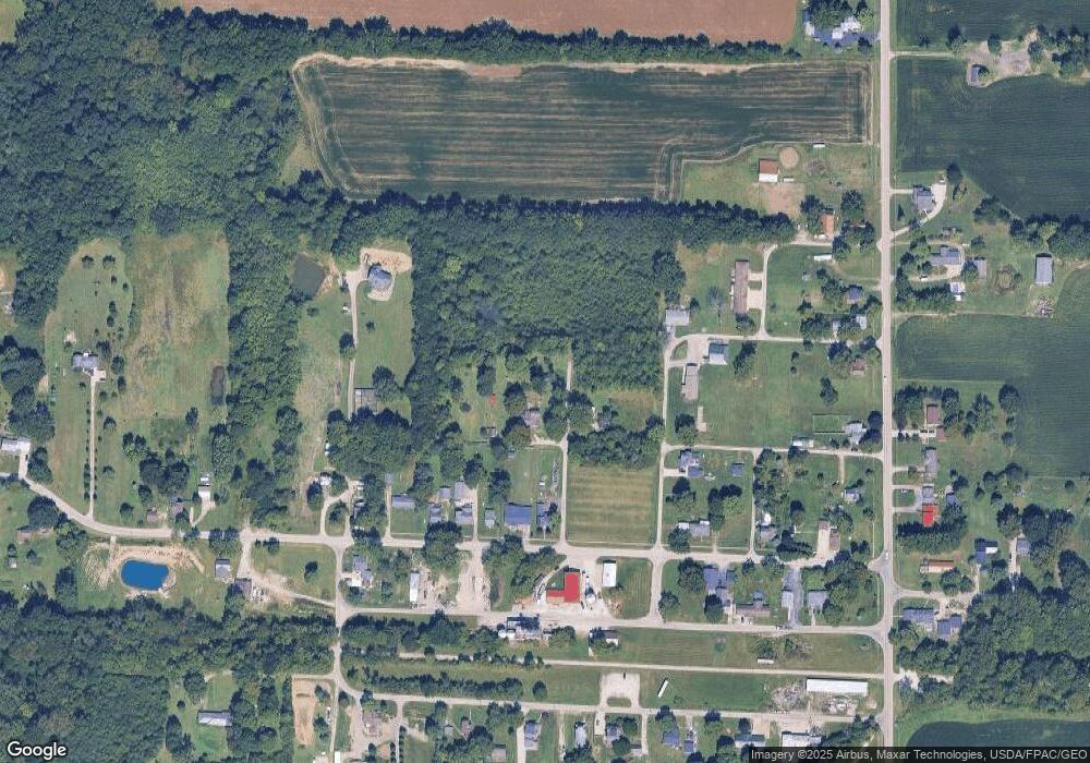
4479 Walnut St Collins, OH 44826
Estimated Value: $70,524 - $218,000
3
Beds
1
Bath
1,235
Sq Ft
$123/Sq Ft
Est. Value
About This Home
This home is located at 4479 Walnut St, Collins, OH 44826 and is currently estimated at $152,131, approximately $123 per square foot. 4479 Walnut St is a home with nearby schools including Western Reserve Elementary School, Western Reserve Middle School, and Western Reserve High School.
Ownership History
Date
Name
Owned For
Owner Type
Purchase Details
Closed on
Nov 30, 2020
Sold by
Manhart Mona
Bought by
White Dennis J and White Shelley M
Current Estimated Value
Purchase Details
Closed on
Jul 1, 2020
Bought by
Manhart Mona
Purchase Details
Closed on
Sep 23, 2009
Bought by
Mona Edward E and Mona Manhart
Purchase Details
Closed on
Sep 15, 2009
Bought by
Edward E Manhart Aka Edward Manhart
Purchase Details
Closed on
Mar 31, 1998
Bought by
Manhart Edward
Purchase Details
Closed on
Feb 9, 1998
Bought by
Manhart Helen R and Manhart Louis
Purchase Details
Closed on
Jul 8, 1987
Bought by
Manhart Helen R and Manhart Louis
Create a Home Valuation Report for This Property
The Home Valuation Report is an in-depth analysis detailing your home's value as well as a comparison with similar homes in the area
Purchase History
| Date | Buyer | Sale Price | Title Company |
|---|---|---|---|
| White Dennis J | $7,600 | None Available | |
| Manhart Mona | -- | -- | |
| Mona Edward E | -- | -- | |
| Edward E Manhart Aka Edward Manhart | -- | -- | |
| Manhart Edward | $23,000 | -- | |
| Manhart Helen R | -- | -- | |
| Manhart Helen R | -- | -- |
Source: Public Records
Tax History
| Year | Tax Paid | Tax Assessment Tax Assessment Total Assessment is a certain percentage of the fair market value that is determined by local assessors to be the total taxable value of land and additions on the property. | Land | Improvement |
|---|---|---|---|---|
| 2024 | $491 | $13,510 | $7,700 | $5,810 |
| 2023 | $489 | $11,730 | $6,850 | $4,880 |
| 2022 | $444 | $11,730 | $6,850 | $4,880 |
| 2021 | $458 | $11,730 | $6,850 | $4,880 |
| 2020 | $443 | $21,770 | $6,850 | $14,920 |
| 2019 | $1,113 | $21,770 | $6,850 | $14,920 |
| 2018 | $877 | $21,770 | $6,850 | $14,920 |
| 2017 | $1,058 | $20,270 | $6,850 | $13,420 |
| 2016 | $1,044 | $20,270 | $6,850 | $13,420 |
| 2015 | $785 | $20,280 | $6,860 | $13,420 |
| 2014 | $778 | $19,500 | $6,860 | $12,640 |
| 2013 | $709 | $19,500 | $6,860 | $12,640 |
Source: Public Records
Map
Nearby Homes
- 3876 Townsend Angling Rd
- 3640 Derussey Rd
- 3257 Hartland Center Rd
- 13701 Andress Rd
- 12710 Berlin Rd
- 2860 Derussey Rd
- 4775 State Route 601
- 101 South St
- 6016 Hill Rd
- 117 Millwood Ln
- 4 Valleyview St
- 86 Center St
- 500 State Route 61
- 19 South St
- 42 Stony Brook Ln
- 23 Stony Brook Ln
- 27 Whitefield Blvd
- 5054 State Route 601
- 8110 Main Rd
- 6175 U S 20
- 4463 Walnut St
- 3 Walnut St
- 4466 Walnut St
- 4466 Walnut St
- 2636 Collins Rd
- 2628 Collins Rd
- 2648 Collins Rd
- 2620 Collins Rd
- 2592 Collins Rd
- 2652 Collins Rd
- 2662 Collins Rd
- 2608 Collins Rd
- 2692 Mulberry St
- 4476 Church St
- 4476 Church St
- 4452 Church St
- 2594 Collins Rd
- 2621 N Railroad St
- 2605 Collins Rd
- 2708 Mulberry St
