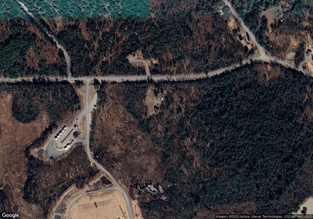
448 Airport Rd Norridgewock, ME 04957
Estimated Value: $200,000 - $346,000
2
Beds
2
Baths
1,668
Sq Ft
$159/Sq Ft
Est. Value
About This Home
This home is located at 448 Airport Rd, Norridgewock, ME 04957 and is currently estimated at $265,741, approximately $159 per square foot. 448 Airport Rd is a home with nearby schools including Riverview Memorial School.
Create a Home Valuation Report for This Property
The Home Valuation Report is an in-depth analysis detailing your home's value as well as a comparison with similar homes in the area
Home Values in the Area
Average Home Value in this Area
Tax History Compared to Growth
Tax History
| Year | Tax Paid | Tax Assessment Tax Assessment Total Assessment is a certain percentage of the fair market value that is determined by local assessors to be the total taxable value of land and additions on the property. | Land | Improvement |
|---|---|---|---|---|
| 2024 | $2,014 | $194,600 | $49,500 | $145,100 |
| 2023 | $1,970 | $162,100 | $41,100 | $121,000 |
| 2022 | $1,710 | $146,800 | $37,400 | $109,400 |
| 2021 | $1,945 | $146,800 | $37,400 | $109,400 |
| 2020 | $1,945 | $146,800 | $37,400 | $109,400 |
| 2019 | $1,982 | $146,800 | $37,400 | $109,400 |
| 2018 | $1,982 | $146,800 | $37,400 | $109,400 |
| 2017 | $1,974 | $146,800 | $37,400 | $109,400 |
| 2016 | $1,321 | $117,400 | $18,200 | $99,200 |
| 2015 | $2,512 | $117,400 | $18,200 | $99,200 |
| 2014 | $2,495 | $117,400 | $18,200 | $99,200 |
Source: Public Records
Map
Nearby Homes
- 43 Doane Rd
- 23 Pleasant Hill Dr
- 31 Airport Rd
- M6 L40-6 Bombazee Rd
- 157 Bradley Ln
- 0 Gilman Dr
- M28 L6-2-1 Gilman Dr
- M10 L12 Yeaton Island
- 11 Madison Rd
- 41 River Rd
- 96 Oak Hill Rd
- Lot 2-1 Father Rasle Rd
- M18L13 Mercer Rd
- M10/18-7 Brown Rd
- 12 Tempesta Way
- 31 Red Barn Rd
- 862 Anson Rd
- 349 Elm St
- 75 Colby Bryant Rd
- P/O M2 L31 Walker Rd
