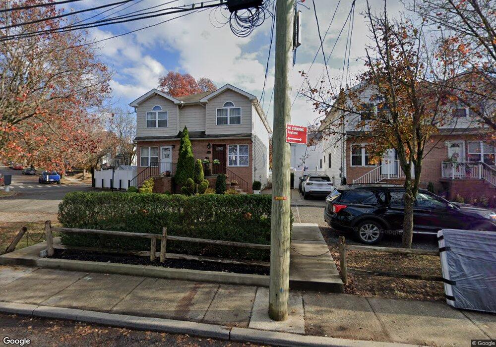
448 Arthur Kill Rd Staten Island, NY 10308
Great Kills NeighborhoodEstimated Value: $632,000 - $733,000
--
Bed
4
Baths
1,280
Sq Ft
$530/Sq Ft
Est. Value
About This Home
This home is located at 448 Arthur Kill Rd, Staten Island, NY 10308 and is currently estimated at $678,034, approximately $529 per square foot. 448 Arthur Kill Rd is a home located in Richmond County with nearby schools including P.S. 32 The Gifford School, I.S. 075 Frank D. Paulo, and Susan E Wagner High School.
Ownership History
Date
Name
Owned For
Owner Type
Purchase Details
Closed on
Sep 17, 2003
Sold by
Maple Development Corp
Bought by
Kowalik Marek T and Tokarska Danuta Elzbieta
Current Estimated Value
Home Financials for this Owner
Home Financials are based on the most recent Mortgage that was taken out on this home.
Original Mortgage
$247,920
Interest Rate
5.88%
Mortgage Type
Purchase Money Mortgage
Create a Home Valuation Report for This Property
The Home Valuation Report is an in-depth analysis detailing your home's value as well as a comparison with similar homes in the area
Home Values in the Area
Average Home Value in this Area
Purchase History
| Date | Buyer | Sale Price | Title Company |
|---|---|---|---|
| Kowalik Marek T | $309,900 | Commonwealth Land Title Insu |
Source: Public Records
Mortgage History
| Date | Status | Borrower | Loan Amount |
|---|---|---|---|
| Previous Owner | Kowalik Marek T | $247,920 |
Source: Public Records
Tax History Compared to Growth
Tax History
| Year | Tax Paid | Tax Assessment Tax Assessment Total Assessment is a certain percentage of the fair market value that is determined by local assessors to be the total taxable value of land and additions on the property. | Land | Improvement |
|---|---|---|---|---|
| 2025 | $5,636 | $40,860 | $5,451 | $35,409 |
| 2024 | $5,648 | $40,740 | $5,467 | $35,273 |
| 2023 | $5,654 | $29,240 | $5,204 | $24,036 |
| 2022 | $5,220 | $34,560 | $7,560 | $27,000 |
| 2021 | $5,174 | $35,160 | $7,560 | $27,600 |
| 2020 | $4,901 | $32,280 | $7,560 | $24,720 |
| 2019 | $4,843 | $32,040 | $7,560 | $24,480 |
| 2018 | $4,670 | $24,367 | $6,020 | $18,347 |
| 2017 | $4,386 | $22,988 | $6,946 | $16,042 |
| 2016 | $4,026 | $21,687 | $6,032 | $15,655 |
| 2015 | $3,621 | $20,460 | $6,300 | $14,160 |
| 2014 | $3,621 | $20,460 | $6,300 | $14,160 |
Source: Public Records
Map
Nearby Homes
- 87 Pemberton Ave
- 132 Elkhart St
- 420 Arthur Kill Rd
- 466 Doane Ave
- 72 Eric Ln
- 12 Lexington Ln
- 62 Daleham St
- 414 Elverton Ave
- 379 Brookfield Ave
- 12 Troy St
- 38 Troy St
- 40 Troy St
- 350 Brookfield Ave
- 52 Barlow Ave
- 259 Brookfield Ave
- 160 Tanglewood Dr
- 339 Abingdon Ave
- 305 Corbin Ave
- 47 Jumel St
- 4 Country Woods Ln
- 450 Arthur Kill Rd
- 452 Arthur Kill Rd
- 468 Giffords Ln
- 454 Arthur Kill Rd
- 466 Giffords Ln
- 456 Arthur Kill Rd
- 458 Arthur Kill Rd
- 146 Daleham St
- 460 Giffords Ln
- 460 Arthur Kill Rd Unit 470
- 460-470 Arthur Kill Rd
- 140 Daleham St
- 149 Elkhart St
- 145 Daleham St
- 450 Giffords Ln
- 464 Arthur Kill Rd Unit Basement
- 464 Arthur Kill Rd Unit 1
- 464 Arthur Kill Rd
- 141 Elkhart St
- 136 Daleham St