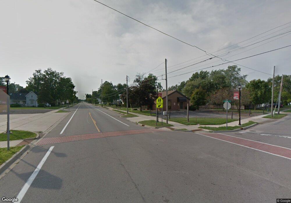
448 E M-50 Unit LOT B M50 Britton, MI 49229
Estimated Value: $69,068
--
Bed
--
Bath
375
Sq Ft
$184/Sq Ft
Est. Value
About This Home
This home is located at 448 E M-50 Unit LOT B M50, Britton, MI 49229 and is currently estimated at $69,068, approximately $184 per square foot. 448 E M-50 Unit LOT B M50 is a home located in Lenawee County with nearby schools including Britton-Macon Area School.
Ownership History
Date
Name
Owned For
Owner Type
Purchase Details
Closed on
Jul 15, 2016
Sold by
Syrocki Jeremy A and Syrocki Kristina
Bought by
Cipkowski Belinda
Current Estimated Value
Purchase Details
Closed on
Jul 14, 2016
Sold by
Shiels Corporation
Bought by
Syrrocki Jeremy A
Purchase Details
Closed on
Mar 7, 2011
Sold by
Bachand Steven M and Bachand Glynis G
Bought by
Shiels Corp and Shiels Inc
Purchase Details
Closed on
Jul 13, 2007
Sold by
Shiels Inc
Bought by
Bachand Steven M and Bachand Clynis G
Home Financials for this Owner
Home Financials are based on the most recent Mortgage that was taken out on this home.
Original Mortgage
$56,000
Interest Rate
8.5%
Mortgage Type
Seller Take Back
Create a Home Valuation Report for This Property
The Home Valuation Report is an in-depth analysis detailing your home's value as well as a comparison with similar homes in the area
Home Values in the Area
Average Home Value in this Area
Purchase History
| Date | Buyer | Sale Price | Title Company |
|---|---|---|---|
| Cipkowski Belinda | $37,000 | None Available | |
| Syrrocki Jeremy A | $32,000 | None Available | |
| Shiels Corp | -- | None Available | |
| Bachand Steven M | $70,000 | None Available |
Source: Public Records
Mortgage History
| Date | Status | Borrower | Loan Amount |
|---|---|---|---|
| Previous Owner | Bachand Steven M | $56,000 |
Source: Public Records
Tax History Compared to Growth
Tax History
| Year | Tax Paid | Tax Assessment Tax Assessment Total Assessment is a certain percentage of the fair market value that is determined by local assessors to be the total taxable value of land and additions on the property. | Land | Improvement |
|---|---|---|---|---|
| 2025 | $1,131 | $22,500 | $0 | $0 |
| 2024 | $585 | $22,400 | $0 | $0 |
| 2023 | $971 | $22,400 | $0 | $0 |
| 2022 | $474 | $20,500 | $0 | $0 |
| 2021 | $1,220 | $20,600 | $0 | $0 |
| 2020 | $2,507 | $20,800 | $0 | $0 |
| 2019 | $101,900 | $20,400 | $0 | $0 |
| 2018 | $1,221 | $20,422 | $0 | $0 |
| 2017 | $1,203 | $20,396 | $0 | $0 |
| 2016 | $2,309 | $20,425 | $0 | $0 |
| 2014 | -- | $40,382 | $0 | $0 |
Source: Public Records
Map
Nearby Homes
- 257 W Chicago Blvd
- 379 N Main St
- 306 N Main St
- 163 Rose St
- 298 E Chicago Blvd
- 8745 E Monroe Rd
- 9393 Mills MacOn Hwy
- 9603 Ridge Hwy
- 9761 Britton Hwy
- 5169 Alexander Dr
- 7484 Billmyer Hwy
- 5517 Billmyer Hwy
- 796 War Bonnet Dr
- 797 War Bonnet Dr
- 799 War Bonnet Dr
- 1018 Ridgeview Dr
- 1015 Preservation Dr
- 6655 Allen Rd
- 6 Wheatland Dr
- Parcel B Fieldstone Dr
- 452 W Chicago Blvd
- 429 W Chicago Blvd
- 440 W Chicago Blvd
- 425 W Chicago Blvd
- 413 W Chicago Blvd
- 489 W Chicago Blvd
- 519 W Chicago Blvd
- 523 W Chicago Blvd
- 424 W Chicago Blvd
- 528 W Chicago Blvd
- 554 W Chicago Blvd
- 342 W Chicago Blvd
- 297 W Chicago Blvd
- 293 W Chicago Blvd
- 281 W Chicago Blvd
- 9539 E Monroe Rd
- 273 W Chicago Blvd
- 278 W Chicago Blvd
- 280 W Chicago Blvd
- 307 North St
