448 Huntington St Shelton, CT 06484
Estimated Value: $438,000 - $559,000
2
Beds
1
Bath
1,680
Sq Ft
$293/Sq Ft
Est. Value
About This Home
This home is located at 448 Huntington St, Shelton, CT 06484 and is currently estimated at $492,003, approximately $292 per square foot. 448 Huntington St is a home located in Fairfield County with nearby schools including Perry Hill School, Shelton Intermediate School, and Shelton High School.
Ownership History
Date
Name
Owned For
Owner Type
Purchase Details
Closed on
Jul 1, 2014
Sold by
Shumard Robin
Bought by
Shumard Keith
Current Estimated Value
Purchase Details
Closed on
Jun 30, 1999
Sold by
Est Tribble Henry J and Wenzel Frederick W
Bought by
Shumard Robin
Home Financials for this Owner
Home Financials are based on the most recent Mortgage that was taken out on this home.
Original Mortgage
$144,850
Interest Rate
7.19%
Create a Home Valuation Report for This Property
The Home Valuation Report is an in-depth analysis detailing your home's value as well as a comparison with similar homes in the area
Home Values in the Area
Average Home Value in this Area
Purchase History
| Date | Buyer | Sale Price | Title Company |
|---|---|---|---|
| Shumard Keith | -- | -- | |
| Shumard Keith | -- | -- | |
| Shumard Robin | $152,500 | -- | |
| Shumard Robin | $152,500 | -- |
Source: Public Records
Mortgage History
| Date | Status | Borrower | Loan Amount |
|---|---|---|---|
| Previous Owner | Shumard Robin | $263,252 | |
| Previous Owner | Shumard Robin | $193,000 | |
| Previous Owner | Shumard Robin | $144,850 |
Source: Public Records
Tax History Compared to Growth
Tax History
| Year | Tax Paid | Tax Assessment Tax Assessment Total Assessment is a certain percentage of the fair market value that is determined by local assessors to be the total taxable value of land and additions on the property. | Land | Improvement |
|---|---|---|---|---|
| 2025 | $4,603 | $244,580 | $102,830 | $141,750 |
| 2024 | $4,691 | $244,580 | $102,830 | $141,750 |
| 2023 | $4,273 | $244,580 | $102,830 | $141,750 |
| 2022 | $4,273 | $244,580 | $102,830 | $141,750 |
| 2021 | $3,294 | $149,520 | $56,070 | $93,450 |
| 2020 | $3,352 | $149,520 | $56,070 | $93,450 |
| 2019 | $3,352 | $149,520 | $56,070 | $93,450 |
| 2017 | $3,321 | $149,520 | $56,070 | $93,450 |
| 2015 | $3,386 | $151,760 | $60,200 | $91,560 |
| 2014 | $3,386 | $151,760 | $60,200 | $91,560 |
Source: Public Records
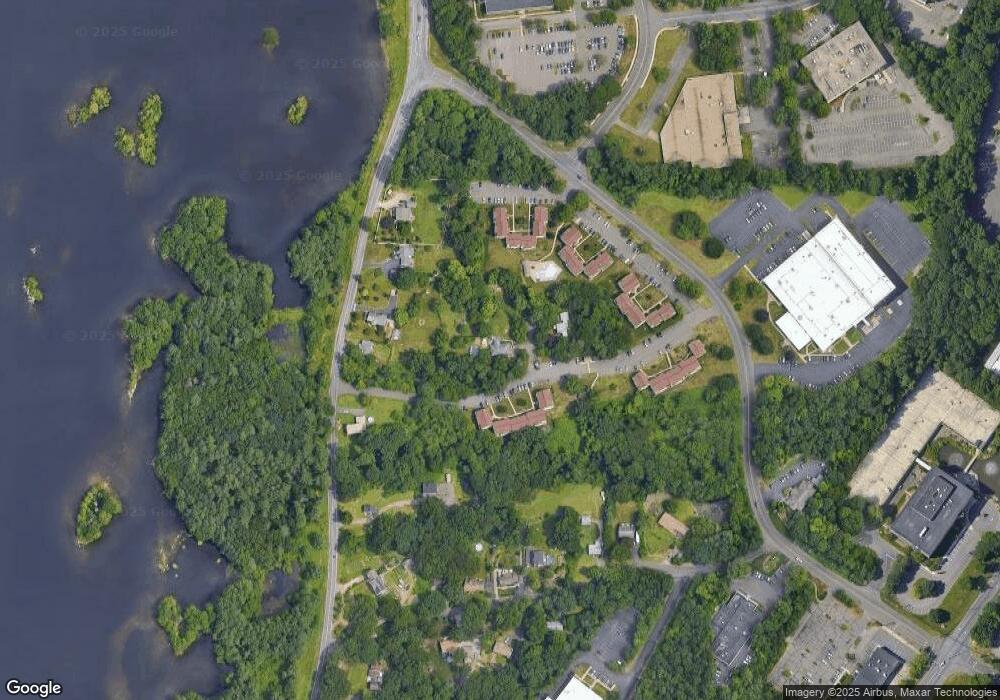
Map
Nearby Homes
- 37 Heather Ridge
- 12 Horseshoe Dr
- 14 Horseshoe Dr
- 44 Hemlock Dr
- 6 Daybreak Ln
- 51 Great Oak Rd
- 28 Strawberry Ln
- 79 River Bend Rd Unit B
- 4 Roaring Brook Ln
- 101 Golden Hill St
- 44 Powder Mill Rd Unit C
- 225 Nichols Ave
- 205 Nichols Ave
- 815 James Farm Rd
- 33 Happy Hollow Cir Unit C
- 664 Osage Ln Unit A
- 350 Maple Oak Dr
- 736 Quinnipiac Ln Unit B
- 170 Oronoque Ln Unit 85
- 170 Oronoque Ln Unit 95
- 147 Heather Ridge
- 145 Heather Ridge
- 143 Heather Ridge
- 141 Heather Ridge
- 446 Huntington St
- 155 Heather Ridge
- 102 Heather Ridge
- 1 Heather Ridge
- 1 Heather Ridge Unit 1
- 113 Heather Ridge
- 99 Heather Ridge
- 67 Heather Ridge
- 65 Heather Ridge
- 63 Heather Ridge
- 61 Heather Ridge
- 59 Heather Ridge
- 58 Heather Ridge
- 57 Heather Ridge
- 56 Heather Ridge
- 55 Heather Ridge