448 Northside Rd Maynard, AR 72444
Estimated Value: $60,561 - $221,000
Studio
1
Bath
876
Sq Ft
$161/Sq Ft
Est. Value
About This Home
This home is located at 448 Northside Rd, Maynard, AR 72444 and is currently estimated at $140,781, approximately $160 per square foot. 448 Northside Rd is a home located in Randolph County with nearby schools including Maynard Elementary School and Maynard High School.
Ownership History
Date
Name
Owned For
Owner Type
Purchase Details
Closed on
Mar 15, 1995
Bought by
Throesch To Tripp
Current Estimated Value
Create a Home Valuation Report for This Property
The Home Valuation Report is an in-depth analysis detailing your home's value as well as a comparison with similar homes in the area
Purchase History
We collect this data history from publicly available records. To have your information removed, we recommend requesting removal directly through your county’s website.
| Date | Buyer | Sale Price | Title Company |
|---|---|---|---|
| Throesch To Tripp | $5,000 | -- |
Source: Public Records
Tax History
| Year | Tax Paid | Tax Assessment Tax Assessment Total Assessment is a certain percentage of the fair market value that is determined by local assessors to be the total taxable value of land and additions on the property. | Land | Improvement |
|---|---|---|---|---|
| 2025 | $24 | $595 | $595 | $0 |
| 2024 | $24 | $595 | $595 | $0 |
| 2023 | $24 | $595 | $595 | $0 |
| 2022 | $25 | $610 | $610 | $0 |
| 2021 | $25 | $610 | $610 | $0 |
| 2020 | $25 | $610 | $610 | $0 |
| 2019 | $46 | $1,135 | $610 | $525 |
| 2018 | $45 | $1,135 | $610 | $525 |
| 2017 | $4 | $1,005 | $400 | $605 |
| 2016 | $4 | $1,005 | $400 | $605 |
| 2015 | $3 | $1,005 | $400 | $605 |
| 2014 | $3 | $1,005 | $400 | $605 |
Source: Public Records
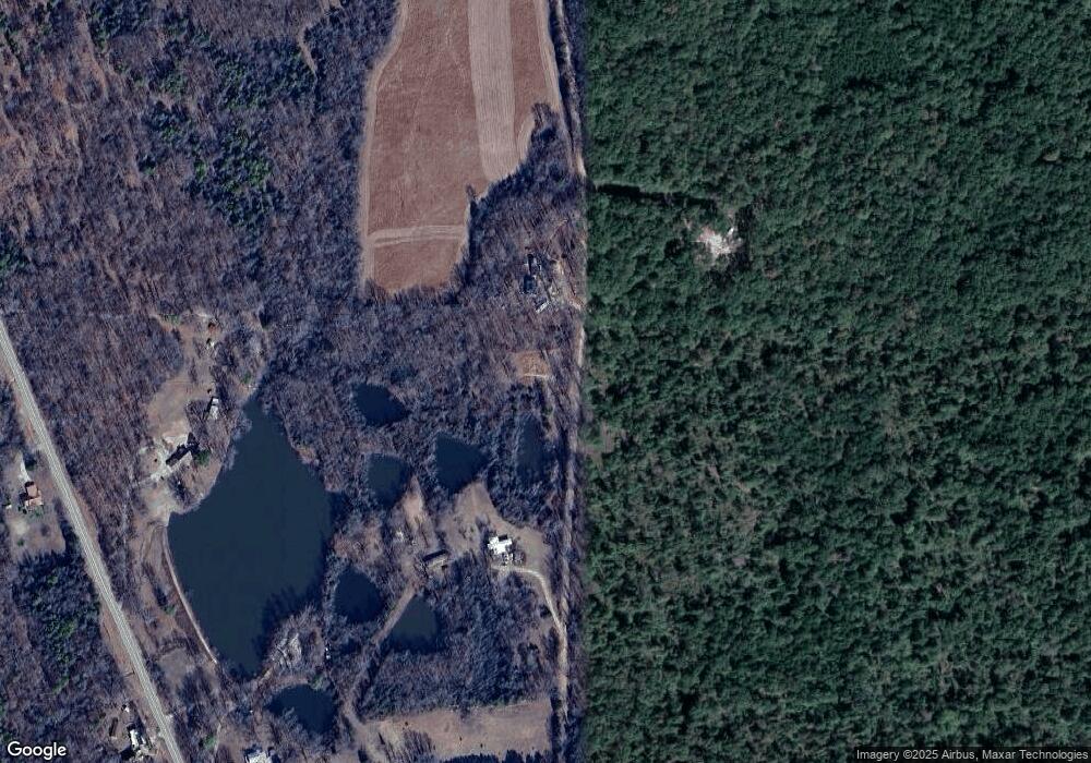
Map
Nearby Homes
- 13322 Arkansas 115
- 985 Mosley Rd
- 77 Mock St
- 35 Highway 328 E
- 152 Lentz St
- 37 Acres Acree Rd
- 2251 Middlebrook Rd
- 917 Hummingbird Trail
- 11064 Highway 115
- 2524 Tucker Rd
- 538 Fowler Rd
- TBD Minorca Rd
- Tbd Minorca Rd Unit LotWP001
- 11459 Missouri 21
- 8771 Arkansas 115
- 7687 Ripley Route A
- 000 Carmickle Rd
- 449 Thompson Rd
- TBD Doc Gray Rd
- 8673 Highway 251
- 13799 Highway 115
- 14263 Highway 115
- 13693 Highway 115
- 13866 Highway 115
- 94 Northside Rd
- 784 Northside Rd
- 114 Northside Rd
- 13678 Highway 115
- 13968 Highway 115
- 13642 Highway 115
- 606 Rapert Rd
- 865 Northside Rd
- 14223 Highway 115
- 14288 Highway 115
- 959 Northside Rd
- 13502 Highway 115
- 13371 Highway 115
- 1008 Northside Rd
- 13391 Highway 115
- 14265 Highway 115
Your Personal Tour Guide
Ask me questions while you tour the home.