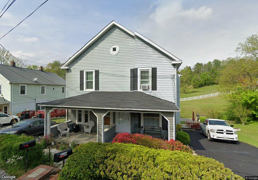
448 Oella Ave Ellicott City, MD 21043
Estimated Value: $346,000 - $411,000
--
Bed
1
Bath
1,284
Sq Ft
$295/Sq Ft
Est. Value
About This Home
This home is located at 448 Oella Ave, Ellicott City, MD 21043 and is currently estimated at $378,851, approximately $295 per square foot. 448 Oella Ave is a home located in Baltimore County with nearby schools including Westchester Elementary School, Catonsville Middle School, and Catonsville High School.
Ownership History
Date
Name
Owned For
Owner Type
Purchase Details
Closed on
Oct 10, 2002
Sold by
Bucklew Catherine L
Bought by
Bucklew Catherine L
Current Estimated Value
Purchase Details
Closed on
Mar 19, 1999
Sold by
Lay Bill H
Bought by
Bucklew Catherine L and Bucklew John W
Purchase Details
Closed on
Feb 9, 1995
Sold by
Tortorelli Marilee
Bought by
Lay Bill H
Home Financials for this Owner
Home Financials are based on the most recent Mortgage that was taken out on this home.
Original Mortgage
$106,900
Interest Rate
9.18%
Create a Home Valuation Report for This Property
The Home Valuation Report is an in-depth analysis detailing your home's value as well as a comparison with similar homes in the area
Home Values in the Area
Average Home Value in this Area
Purchase History
| Date | Buyer | Sale Price | Title Company |
|---|---|---|---|
| Bucklew Catherine L | -- | -- | |
| Bucklew Catherine L | $119,900 | -- | |
| Lay Bill H | $107,000 | -- |
Source: Public Records
Mortgage History
| Date | Status | Borrower | Loan Amount |
|---|---|---|---|
| Previous Owner | Lay Bill H | $106,900 |
Source: Public Records
Tax History Compared to Growth
Tax History
| Year | Tax Paid | Tax Assessment Tax Assessment Total Assessment is a certain percentage of the fair market value that is determined by local assessors to be the total taxable value of land and additions on the property. | Land | Improvement |
|---|---|---|---|---|
| 2025 | $3,564 | $269,900 | -- | -- |
| 2024 | $3,564 | $251,500 | $129,500 | $122,000 |
| 2023 | $1,773 | $246,967 | $0 | $0 |
| 2022 | $3,386 | $242,433 | $0 | $0 |
| 2021 | $3,188 | $237,900 | $129,500 | $108,400 |
| 2020 | $3,188 | $228,067 | $0 | $0 |
| 2019 | $3,086 | $218,233 | $0 | $0 |
| 2018 | $2,957 | $208,400 | $89,600 | $118,800 |
| 2017 | $2,788 | $201,600 | $0 | $0 |
| 2016 | $2,338 | $194,800 | $0 | $0 |
| 2015 | $2,338 | $188,000 | $0 | $0 |
| 2014 | $2,338 | $188,000 | $0 | $0 |
Source: Public Records
Map
Nearby Homes
- 311 Radstock Rd
- 2621 Westchester Ave
- 2310 Rockwell Ave
- 20 Bryans Mill Way
- 105 Oella Ave
- 2203 Rockwell Ave
- 8369 Governor Grayson Way
- 4 Rumford Dr Unit 203
- 3 Rumford Dr Unit 202
- 2110 Edmondson Ave
- 2421 Quilting Bee Rd
- 2208 W Geipe Rd
- 229 Gralan Rd
- 231 Gralan Rd
- 9794 Blue Ivy Way
- 2007 Rockwell Ave
- 627 Meyers Dr
- 627 Meyers Dr Unit PARCEL 108
- 2008 Rollingwood Rd
- 3598 Fels Ln