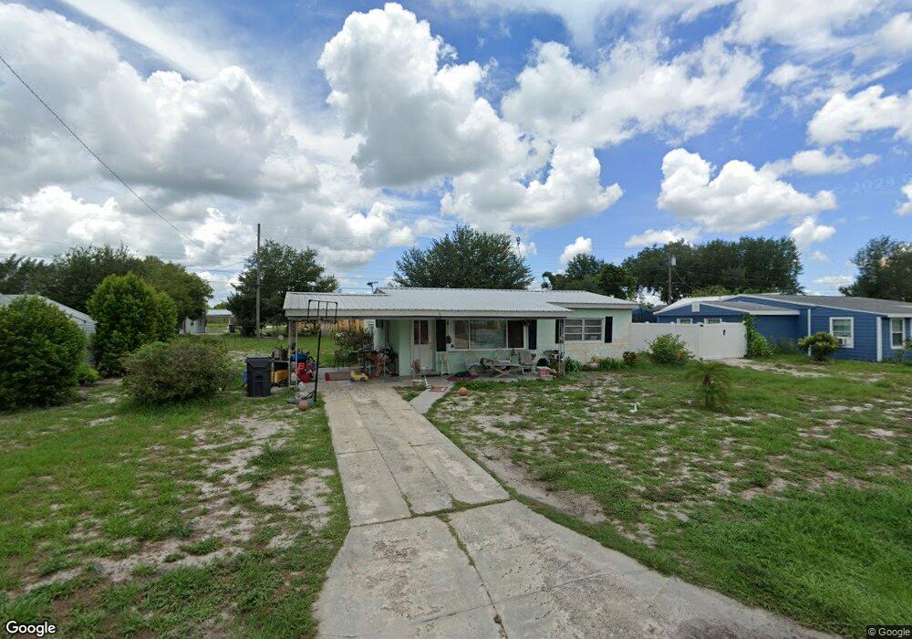
448 Stanley Ave Frostproof, FL 33843
Estimated Value: $158,839 - $166,000
2
Beds
1
Bath
939
Sq Ft
$174/Sq Ft
Est. Value
About This Home
This home is located at 448 Stanley Ave, Frostproof, FL 33843 and is currently estimated at $163,460, approximately $174 per square foot. 448 Stanley Ave is a home located in Polk County with nearby schools including Ben Hill Griffin Jr. Elementary School, Bartow Elementary Academy, and Frostproof Middle/Senior High School.
Ownership History
Date
Name
Owned For
Owner Type
Purchase Details
Closed on
Dec 12, 2025
Sold by
Reddick James and Reddick Shawn
Bought by
448 Stanley Ave Land Trust and Fishbein
Current Estimated Value
Home Financials for this Owner
Home Financials are based on the most recent Mortgage that was taken out on this home.
Original Mortgage
$30,000
Outstanding Balance
$30,000
Interest Rate
6.22%
Mortgage Type
Construction
Estimated Equity
$133,460
Purchase Details
Closed on
Dec 22, 2016
Sold by
Henson Susan V
Bought by
Reddick Tom Howard and Rollins Cynthia M
Purchase Details
Closed on
Dec 1, 2016
Bought by
Reddick Tom Howard
Purchase Details
Closed on
Oct 28, 2009
Sold by
Beyers Frederick L and Beyers Janice L
Bought by
Beyers Frederick L and Joi Janice L Beyers
Purchase Details
Closed on
Dec 29, 1999
Sold by
Jurs Herbert J and Jurs Christine L
Bought by
Deyers Frederick L and Deyers Janice L
Purchase Details
Closed on
Oct 14, 1997
Sold by
Griswold Robert L and Griswold Agnes N
Bought by
Jurs Herbert J and Jurs Christene L
Create a Home Valuation Report for This Property
The Home Valuation Report is an in-depth analysis detailing your home's value as well as a comparison with similar homes in the area
Home Values in the Area
Average Home Value in this Area
Purchase History
| Date | Buyer | Sale Price | Title Company |
|---|---|---|---|
| 448 Stanley Ave Land Trust | $20,000 | None Listed On Document | |
| Reddick Tom Howard | $31,000 | None Available | |
| Reddick Tom Howard | -- | -- | |
| Beyers Frederick L | -- | None Available | |
| Deyers Frederick L | $32,000 | -- | |
| Jurs Herbert J | $24,000 | -- |
Source: Public Records
Mortgage History
| Date | Status | Borrower | Loan Amount |
|---|---|---|---|
| Open | 448 Stanley Ave Land Trust | $30,000 |
Source: Public Records
Tax History
| Year | Tax Paid | Tax Assessment Tax Assessment Total Assessment is a certain percentage of the fair market value that is determined by local assessors to be the total taxable value of land and additions on the property. | Land | Improvement |
|---|---|---|---|---|
| 2025 | $1,601 | $104,136 | -- | -- |
| 2024 | $1,485 | $98,569 | -- | -- |
| 2023 | $1,485 | $93,220 | $0 | $0 |
| 2022 | $1,541 | $66,298 | $0 | $0 |
| 2021 | $1,321 | $60,271 | $0 | $0 |
| 2020 | $1,242 | $57,785 | $6,000 | $51,785 |
| 2018 | $1,069 | $45,283 | $6,746 | $38,537 |
| 2017 | $716 | $42,428 | $0 | $0 |
| 2016 | $900 | $35,312 | $0 | $0 |
| 2015 | $516 | $33,242 | $0 | $0 |
| 2014 | $776 | $30,220 | $0 | $0 |
Source: Public Records
Map
Nearby Homes
- 0 Joey Ln
- 403 Thomas Ave
- 319 Thomas Ave
- 624 Alice St
- 262 Walter Ave
- 202 Central Ave
- 192 Freedom Dr
- 0 Hopson Rd
- 74 Oakridge Dr
- 108 Yale Ave
- 88 Yale Ave
- 630 Otto Polk Rd
- 129 Constitution Ln
- 54 Oakridge Dr
- 0 Tom Sheffield Rd
- 2101 W Frostproof Rd
- 32 Oakridge Dr
- 1895 Otto Polk Rd
- 92 Constitution Ln
- 698 Sandwedge Dr
- 446 Stanley Ave
- 450 Stanley Ave
- 443 Raymond Ave
- 447 Raymond Ave
- 439 Raymond Ave
- 452 Stanley Ave
- 444 Stanley Ave
- 447 Stanley Ave
- 445 Stanley Ave
- 449 Stanley Ave
- 435 Raymond Ave
- 451 Raymond Ave
- 442 Stanley Ave
- 422 Stanley Ave
- 443 Stanley Ave
- 451 Stanley Ave
- 431 Raymond Ave
- 502 Stanley Ave
- 441 Stanley Ave
- 418 Thomas Ave
Your Personal Tour Guide
Ask me questions while you tour the home.