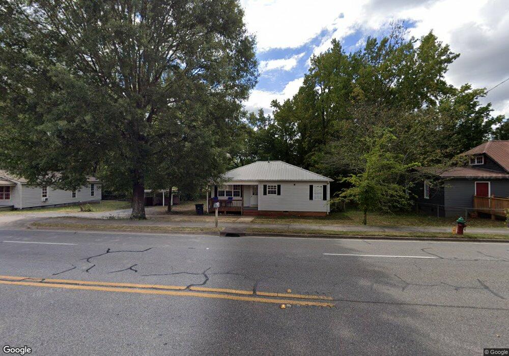
448 W Line St Calhoun, GA 30701
Estimated Value: $119,000 - $160,000
2
Beds
1
Bath
1,030
Sq Ft
$135/Sq Ft
Est. Value
About This Home
This home is located at 448 W Line St, Calhoun, GA 30701 and is currently estimated at $139,173, approximately $135 per square foot. 448 W Line St is a home located in Gordon County with nearby schools including Calhoun Primary School, Calhoun Elementary School, and Calhoun Middle School.
Ownership History
Date
Name
Owned For
Owner Type
Purchase Details
Closed on
May 19, 2017
Sold by
Davis Howard Ben
Bought by
Friendship Baptist Church Of C
Current Estimated Value
Purchase Details
Closed on
May 13, 2017
Sold by
Richett Norma Davis
Bought by
Friendship Baptist Church Of C
Purchase Details
Closed on
Apr 27, 2017
Sold by
Mcelveen Donna
Bought by
Friendship Baptist Church Of C
Create a Home Valuation Report for This Property
The Home Valuation Report is an in-depth analysis detailing your home's value as well as a comparison with similar homes in the area
Home Values in the Area
Average Home Value in this Area
Purchase History
| Date | Buyer | Sale Price | Title Company |
|---|---|---|---|
| Friendship Baptist Church Of C | $69,900 | -- | |
| Friendship Baptist Church Of C | -- | -- | |
| Friendship Baptist Church Of C | -- | -- | |
| Friendship Baptist Church Of C | -- | -- |
Source: Public Records
Tax History Compared to Growth
Tax History
| Year | Tax Paid | Tax Assessment Tax Assessment Total Assessment is a certain percentage of the fair market value that is determined by local assessors to be the total taxable value of land and additions on the property. | Land | Improvement |
|---|---|---|---|---|
| 2024 | $1,205 | $42,872 | $13,200 | $29,672 |
| 2023 | $1,097 | $39,032 | $12,600 | $26,432 |
| 2022 | $411 | $43,152 | $18,360 | $24,792 |
| 2021 | $999 | $33,552 | $14,400 | $19,152 |
| 2020 | $1,016 | $33,872 | $14,400 | $19,472 |
| 2019 | $1,015 | $33,872 | $14,400 | $19,472 |
| 2018 | $269 | $29,868 | $13,680 | $16,188 |
| 2017 | $266 | $29,108 | $13,680 | $15,428 |
| 2016 | $267 | $29,108 | $13,680 | $15,428 |
| 2015 | $256 | $27,748 | $13,680 | $14,068 |
| 2014 | $213 | $23,867 | $12,272 | $11,595 |
Source: Public Records
Map
Nearby Homes
- 404 Mcginnis Cir
- 100 Neal St
- 153 Riverview Dr
- 207 N River St
- 227 Mcconnell Rd
- 215 Wilson St
- 201 King St N
- 110 Boston Rd
- 200 Fain St
- 515 Woodlawn Ave
- 85 Professional Place Unit 14
- 0 N Dale Ave Unit 7622794
- 0 N Dale Ave Unit 10572875
- 712 College St
- 200 Ridgeview Trail
- 421 Boulevard Heights
- 136 Boston Rd
- 446 W Line St
- 440 W Line St
- 451 W Line St
- 438 W Line St
- 450 Neal St
- 436 W Line St
- 453 W Line St
- 100 Riverview Dr
- 412 Mcginnis Cir
- 405 Mcginnis Cir
- 407 Mcginnis Cir
- 408 Mcginnis Cir
- 416 Mcginnis Cir
- 00 Riverview Dr
- 213 Neal St
- 107 Cornwell Way
- 109 Cornwell Way
- 111 Cornwell Way
- 200 Mcginnis Cir
- 300 Mcginnis Cir