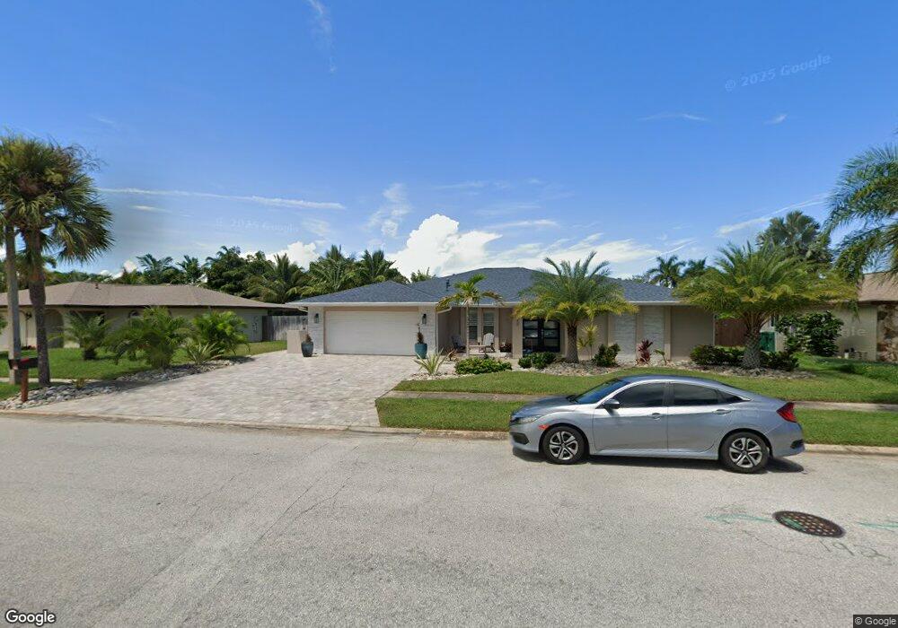
448 Winchester Rd Satellite Beach, FL 32937
Estimated Value: $588,000 - $693,000
3
Beds
2
Baths
1,896
Sq Ft
$341/Sq Ft
Est. Value
About This Home
This home is located at 448 Winchester Rd, Satellite Beach, FL 32937 and is currently estimated at $646,526, approximately $340 per square foot. 448 Winchester Rd is a home located in Brevard County with nearby schools including Surfside Elementary School, Satellite Senior High School, and DeLaura Middle School.
Ownership History
Date
Name
Owned For
Owner Type
Purchase Details
Closed on
Dec 13, 2023
Sold by
Matarazzo Raphael B and Matarazzo Andrea
Bought by
Matarazzo Andrea T and Matarazzo Raphael B
Current Estimated Value
Purchase Details
Closed on
Mar 25, 2010
Sold by
Boyer Robert J and Trust Agreement Of Harold W Ha
Bought by
Matarazzo Raphael B and Matarazzo Andrea
Home Financials for this Owner
Home Financials are based on the most recent Mortgage that was taken out on this home.
Original Mortgage
$136,000
Interest Rate
4.97%
Purchase Details
Closed on
May 22, 2003
Sold by
Hartrup Harold and Hartrup Anna E
Bought by
Hartrup Harold W and Hartrup Anna E
Purchase Details
Closed on
Oct 25, 1996
Sold by
Hartrup Harold H and Hartrup Anna E
Bought by
Hartrup Harold R
Create a Home Valuation Report for This Property
The Home Valuation Report is an in-depth analysis detailing your home's value as well as a comparison with similar homes in the area
Home Values in the Area
Average Home Value in this Area
Purchase History
| Date | Buyer | Sale Price | Title Company |
|---|---|---|---|
| Matarazzo Andrea T | $100 | None Listed On Document | |
| Matarazzo Raphael B | $170,000 | Fidelity Natl Title Ins Co | |
| Hartrup Harold W | -- | -- | |
| Hartrup Harold R | -- | -- |
Source: Public Records
Mortgage History
| Date | Status | Borrower | Loan Amount |
|---|---|---|---|
| Previous Owner | Matarazzo Raphael B | $136,000 |
Source: Public Records
Tax History
| Year | Tax Paid | Tax Assessment Tax Assessment Total Assessment is a certain percentage of the fair market value that is determined by local assessors to be the total taxable value of land and additions on the property. | Land | Improvement |
|---|---|---|---|---|
| 2025 | $3,284 | $274,110 | -- | -- |
| 2024 | $3,232 | $206,980 | -- | -- |
| 2023 | $3,232 | $200,960 | $0 | $0 |
| 2022 | $3,030 | $195,110 | $0 | $0 |
| 2021 | $3,125 | $189,430 | $0 | $0 |
| 2020 | $2,694 | $165,550 | $0 | $0 |
| 2019 | $2,674 | $161,830 | $0 | $0 |
| 2018 | $2,674 | $158,820 | $0 | $0 |
| 2017 | $2,410 | $151,090 | $0 | $0 |
| 2016 | $2,416 | $147,990 | $85,000 | $62,990 |
| 2015 | $2,473 | $146,970 | $75,000 | $71,970 |
| 2014 | $2,475 | $145,810 | $70,000 | $75,810 |
Source: Public Records
Map
Nearby Homes
- 509 W Amherst Cir
- 435 Desoto Pkwy
- 405 Hawthorne Ct
- 445 Saint Johns Dr
- 458 Saint Johns Dr
- 358 Desoto Pkwy
- 380 Cherry Ct
- 400 Maria Dr
- 647 Desoto Ln
- 550 Temple St
- 524 Mcguire Blvd
- 485 Temple St
- 413 Trinidad Dr
- 115 Island View Dr
- 368 Ocean Spray Ave
- 366 Ocean Spray Ave
- 240 Greenway Ave
- 360 Cassia Blvd
- 484 Greenway Ave
- 165 Island View Dr
- 440 Winchester Rd
- 450 Winchester Rd
- 449 Carriage Rd
- 459 Carriage Rd
- 439 Carriage Rd
- 438 Winchester Rd
- 458 Winchester Rd
- 445 Winchester Rd
- 439 Winchester Rd
- 435 Carriage Rd
- 469 Carriage Rd
- 449 Winchester Rd
- 430 Winchester Rd
- 460 Winchester Rd
- 435 Winchester Rd
- 429 Carriage Rd
- 479 Carriage Rd
- 448 Carriage Rd
- 599 W Amherst Cir
- 450 Carriage Rd
Your Personal Tour Guide
Ask me questions while you tour the home.