4482 Rifle Range Rd Conover, NC 28613
Estimated Value: $332,000 - $429,000
3
Beds
2
Baths
2,233
Sq Ft
$176/Sq Ft
Est. Value
About This Home
This home is located at 4482 Rifle Range Rd, Conover, NC 28613 and is currently estimated at $393,595, approximately $176 per square foot. 4482 Rifle Range Rd is a home located in Catawba County with nearby schools including Lyle Creek Elementary School, River Bend Middle School, and Bunker Hill High School.
Ownership History
Date
Name
Owned For
Owner Type
Purchase Details
Closed on
Jan 25, 2021
Sold by
Drum Kent David
Bought by
Drum Kent David
Current Estimated Value
Purchase Details
Closed on
Apr 3, 2006
Sold by
Drum Stephanie Michele
Bought by
Drum Kent David
Home Financials for this Owner
Home Financials are based on the most recent Mortgage that was taken out on this home.
Original Mortgage
$117,500
Interest Rate
6.23%
Mortgage Type
Purchase Money Mortgage
Create a Home Valuation Report for This Property
The Home Valuation Report is an in-depth analysis detailing your home's value as well as a comparison with similar homes in the area
Home Values in the Area
Average Home Value in this Area
Purchase History
| Date | Buyer | Sale Price | Title Company |
|---|---|---|---|
| Drum Kent David | -- | None Available | |
| Drum Kent David | -- | None Listed On Document | |
| Drum Kent David | -- | None Available |
Source: Public Records
Mortgage History
| Date | Status | Borrower | Loan Amount |
|---|---|---|---|
| Previous Owner | Drum Kent David | $117,500 |
Source: Public Records
Tax History
| Year | Tax Paid | Tax Assessment Tax Assessment Total Assessment is a certain percentage of the fair market value that is determined by local assessors to be the total taxable value of land and additions on the property. | Land | Improvement |
|---|---|---|---|---|
| 2025 | $1,809 | $346,300 | $20,100 | $326,200 |
| 2024 | $1,809 | $346,300 | $20,100 | $326,200 |
| 2023 | $1,740 | $216,600 | $20,100 | $196,500 |
| 2022 | $1,505 | $216,600 | $20,100 | $196,500 |
| 2021 | $1,445 | $207,900 | $12,000 | $195,900 |
| 2020 | $1,445 | $207,900 | $12,000 | $195,900 |
| 2019 | $1,445 | $207,900 | $0 | $0 |
| 2018 | $1,133 | $163,000 | $12,000 | $151,000 |
| 2017 | $1,133 | $0 | $0 | $0 |
| 2016 | $1,133 | $0 | $0 | $0 |
| 2015 | $991 | $162,970 | $12,000 | $150,970 |
| 2014 | $991 | $165,200 | $13,100 | $152,100 |
Source: Public Records
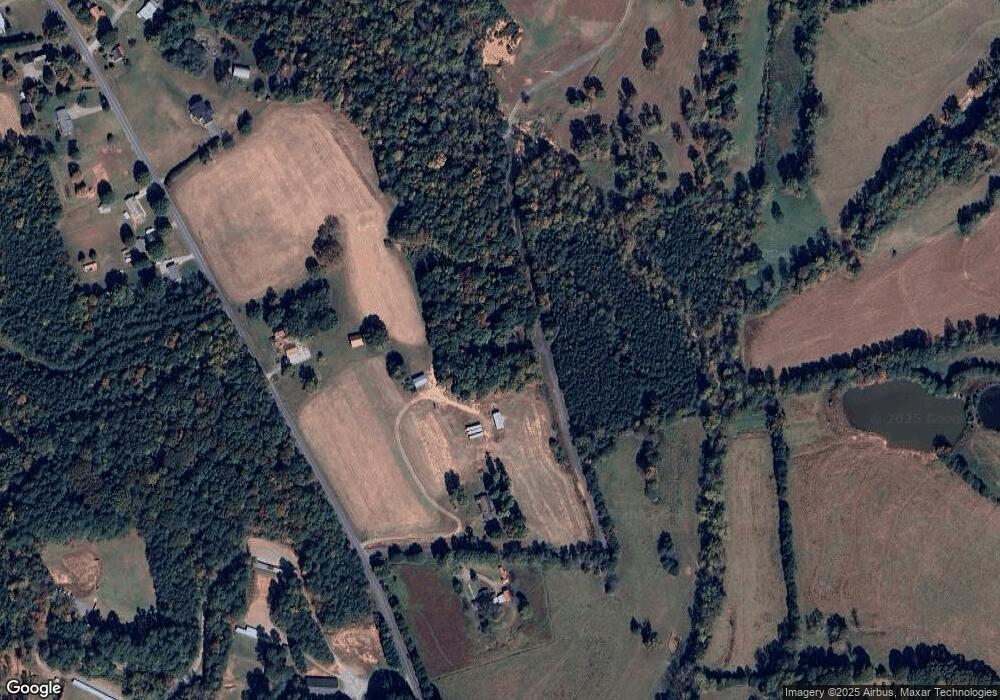
Map
Nearby Homes
- 1581 Floyd Baker Rd
- 4874 Stone Dr Unit 125
- 1158 Sunset Ct
- 4932 Sandstone Dr
- 5069 W Piedmont Cir
- 1371 Millrace Dr
- 4120 Village Blvd NW
- 3671 Charles St NW
- 3647 Charles St NW
- 4111 Library Ln Unit 48
- 3650 Charles St NW
- 3971 Ashton Dr NW
- 3844 Maxwell Henry Ln NW
- 3965 Ashton Dr NW
- 1805 Edgewater Dr NW
- 3838 Maxwell Henry Ln NW
- 3953 Ashton Dr NW
- 3947 Ashton Dr NW
- 3913 Caroline Ct NW
- 3934 Ashton Dr NW
- 4464 Rifle Range Rd
- 4508 Rifle Range Rd
- 4552 Rifle Range Rd
- 4480 Rifle Range Rd
- 4573 Rifle Range Rd
- 4620 Rifle Range Rd
- 4593 Rifle Range Rd
- 4615 Rifle Range Rd
- 4633 Rifle Range Rd
- 4642 Rifle Range Rd
- 4654 Rifle Range Rd
- 4637 Rifle Range Rd
- 4484 Rifle Range Rd
- 4665 Cliff Ln
- 4670 Rifle Range Rd
- 4661 Rifle Range Rd
- 1473 Guy Baker Rd
- 1180 Muriel Joy Ln
- 4680 Rifle Range Rd
- 4684 Rifle Range Rd
Your Personal Tour Guide
Ask me questions while you tour the home.