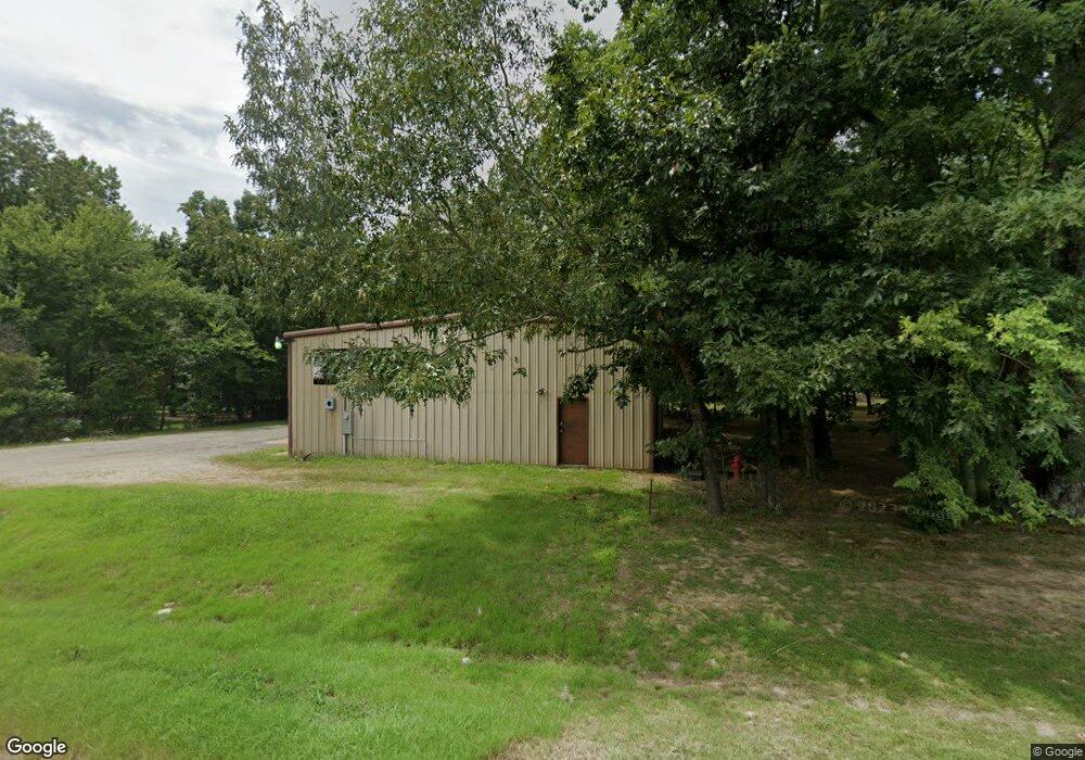
4483 Highway 351 Jonesboro, AR 72401
Estimated Value: $560,000 - $650,000
--
Bed
4
Baths
3,685
Sq Ft
$160/Sq Ft
Est. Value
About This Home
This home is located at 4483 Highway 351, Jonesboro, AR 72401 and is currently estimated at $590,860, approximately $160 per square foot. 4483 Highway 351 is a home located in Craighead County with nearby schools including Brookland Elementary School, Brookland Middle School, and Brookland Junior High School.
Ownership History
Date
Name
Owned For
Owner Type
Purchase Details
Closed on
Jan 3, 2025
Sold by
Isaiah 43 Properties Llc
Bought by
Isaiah 43 Properties Llc
Current Estimated Value
Purchase Details
Closed on
Apr 22, 2022
Sold by
Isaiah 43 Properties Llc
Bought by
Loomis Douglas M and Loomis Amber M
Purchase Details
Closed on
Jan 13, 2021
Sold by
Wheeless Virginia Maxine and Wheeless Nathan Morris
Bought by
Moore Jeremy and Moore Fara
Purchase Details
Closed on
Jun 6, 2013
Sold by
Barker Gerald and Barker Donna
Bought by
Murphy Terry and Murphy Judy
Home Financials for this Owner
Home Financials are based on the most recent Mortgage that was taken out on this home.
Original Mortgage
$324,000
Interest Rate
3.41%
Mortgage Type
Purchase Money Mortgage
Purchase Details
Closed on
Jul 10, 1998
Bought by
Barker
Purchase Details
Closed on
Jun 9, 1997
Bought by
Barker
Create a Home Valuation Report for This Property
The Home Valuation Report is an in-depth analysis detailing your home's value as well as a comparison with similar homes in the area
Home Values in the Area
Average Home Value in this Area
Purchase History
| Date | Buyer | Sale Price | Title Company |
|---|---|---|---|
| Isaiah 43 Properties Llc | -- | None Listed On Document | |
| Loomis Douglas M | $210,000 | Lenders Title Company | |
| Moore Jeremy | -- | None Listed On Document | |
| Murphy Terry | $360,000 | None Available | |
| Barker | -- | -- | |
| Barker | $25,000 | -- |
Source: Public Records
Mortgage History
| Date | Status | Borrower | Loan Amount |
|---|---|---|---|
| Previous Owner | Murphy Terry | $324,000 |
Source: Public Records
Tax History Compared to Growth
Tax History
| Year | Tax Paid | Tax Assessment Tax Assessment Total Assessment is a certain percentage of the fair market value that is determined by local assessors to be the total taxable value of land and additions on the property. | Land | Improvement |
|---|---|---|---|---|
| 2025 | $4,112 | $82,503 | $4,080 | $78,423 |
| 2024 | $4,112 | $91,792 | $7,260 | $84,532 |
| 2023 | $3,634 | $91,792 | $7,260 | $84,532 |
| 2022 | $3,684 | $91,792 | $7,260 | $84,532 |
| 2021 | $3,812 | $87,570 | $7,260 | $80,310 |
| 2020 | $3,812 | $87,570 | $7,260 | $80,310 |
| 2019 | $3,812 | $87,570 | $7,260 | $80,310 |
| 2018 | $3,658 | $87,570 | $7,260 | $80,310 |
| 2017 | $3,479 | $87,570 | $7,260 | $80,310 |
| 2016 | $3,300 | $73,380 | $7,260 | $66,120 |
| 2015 | $3,456 | $73,380 | $7,260 | $66,120 |
| 2014 | $3,181 | $73,380 | $7,260 | $66,120 |
Source: Public Records
Map
Nearby Homes
- 4401 Highway 351
- 2618 Arkansas 351
- 11 Arkansas 351
- 11.46 Acres Arkansas 351
- 3997 Highway 351
- 2833 County Road 759
- 135 Cr 7127
- 92 Cr 7185
- 2640 County Road 759
- 4851 County Road 745
- 230 County Road 7710
- 92 County Road 7185
- 5936 745
- 551 County Road 782
- 94
- 41 Cr 7710
- 6072 County Road 745
- 52 County Road 7180
- 24 County Road 7820
- 83 County Road 7820
- 4483 Highway 351
- 4565 Highway 351
- 4401 Arkansas 351
- 4518 Highway 351
- 4518 Arkansas 351
- 18 County Road 7291
- 0 County Road 7291 Unit 10094552
- 4362 Highway 351
- 4625 Highway 351
- 4677 Highway 351
- 158 County Road 7291
- 4321 Arkansas 351
- 4321 Highway 351
- 4386 Highway 351
- 174 County Road 7291
- 22 County Road 729
- 3656 County Road 766
- 3078 County Road 766
- 4727 Highway 351
- 4662 Highway 351