Estimated Value: $53,359 - $84,000
2
Beds
1
Bath
672
Sq Ft
$110/Sq Ft
Est. Value
About This Home
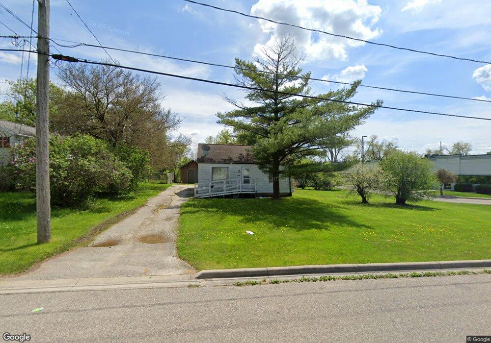
This home is located at 4483 Lenrose Ave, Flint, MI 48532 and is currently estimated at $73,590, approximately $109 per square foot. 4483 Lenrose Ave is a home located in Genesee County with nearby schools including Carman-Ainsworth High School, Genesee STEM Academy, and St. Paul Lutheran School.
Ownership History
Date
Name
Owned For
Owner Type
Purchase Details
Closed on
Sep 25, 2019
Sold by
Piruzz Yvonne M
Bought by
Cnn Prproert Llc
Current Estimated Value
Purchase Details
Closed on
Jul 6, 2005
Sold by
Livesay Gordon and Estate Of Olive M Livesay
Bought by
Livesay Gordon C
Create a Home Valuation Report for This Property
The Home Valuation Report is an in-depth analysis detailing your home's value as well as a comparison with similar homes in the area
Home Values in the Area
Average Home Value in this Area
Purchase History
| Date | Buyer | Sale Price | Title Company |
|---|---|---|---|
| Cnn Prproert Llc | $10,000 | None Available | |
| Livesay Gordon C | -- | -- |
Source: Public Records
Tax History
| Year | Tax Paid | Tax Assessment Tax Assessment Total Assessment is a certain percentage of the fair market value that is determined by local assessors to be the total taxable value of land and additions on the property. | Land | Improvement |
|---|---|---|---|---|
| 2025 | $1,768 | $17,600 | $0 | $0 |
| 2024 | $971 | $17,800 | $0 | $0 |
| 2023 | $1,024 | $16,200 | $0 | $0 |
| 2022 | $701 | $15,100 | $0 | $0 |
| 2021 | $1,354 | $14,400 | $0 | $0 |
| 2020 | $506 | $14,200 | $0 | $0 |
| 2019 | $502 | $14,100 | $0 | $0 |
| 2018 | $1,097 | $12,200 | $0 | $0 |
| 2017 | $1,294 | $12,200 | $0 | $0 |
| 2016 | $1,097 | $12,300 | $0 | $0 |
| 2015 | $478 | $12,300 | $0 | $0 |
| 2014 | $283 | $11,900 | $0 | $0 |
| 2012 | -- | $12,000 | $12,000 | $0 |
Source: Public Records
Map
Nearby Homes
- 3.9 Acres W Court St
- 4480 Corunna Rd
- 0 Charter Dr Unit 50153638
- 4474 Corunna Rd
- 2 Charter Dr
- 1455 S Linden Rd
- 10 Acres T A Mansour Blvd
- 4199 Sheraton Dr
- 1034 Normandy Terrace Dr
- 1460 S Dye Rd
- 0000 Reuben Reuben St
- 18.41 Taft Rd
- 1512 Crescent Lane Dr Lot#46
- 1161 S Dye Rd
- 2052 S Dye Rd
- 000 Devenish Ln
- 1095 Devenish Ln
- 2033 Eberly Rd
- 5290 Brobeck St
- 5323 Elmsford Dr
- 4475 Lenrose Ave
- 1396 Conway St
- 4478 Lenrose Ave
- 1386 Conway St
- 1402 Conway St
- 4472 Lenrose Ave
- 1409 S Linden Rd
- 4481 W Court St
- 4475 W Court St
- 1364 Conway St
- 1410 Conway St
- 4457 W Court St
- 00 W Court St
- 1415 S Linden Rd
- 1421 S Linden Rd
- 1385 Conway St
- 1373 Conway St
- 1424 Conway St
- 1424 Conway St
- 1424 Conway St
Your Personal Tour Guide
Ask me questions while you tour the home.