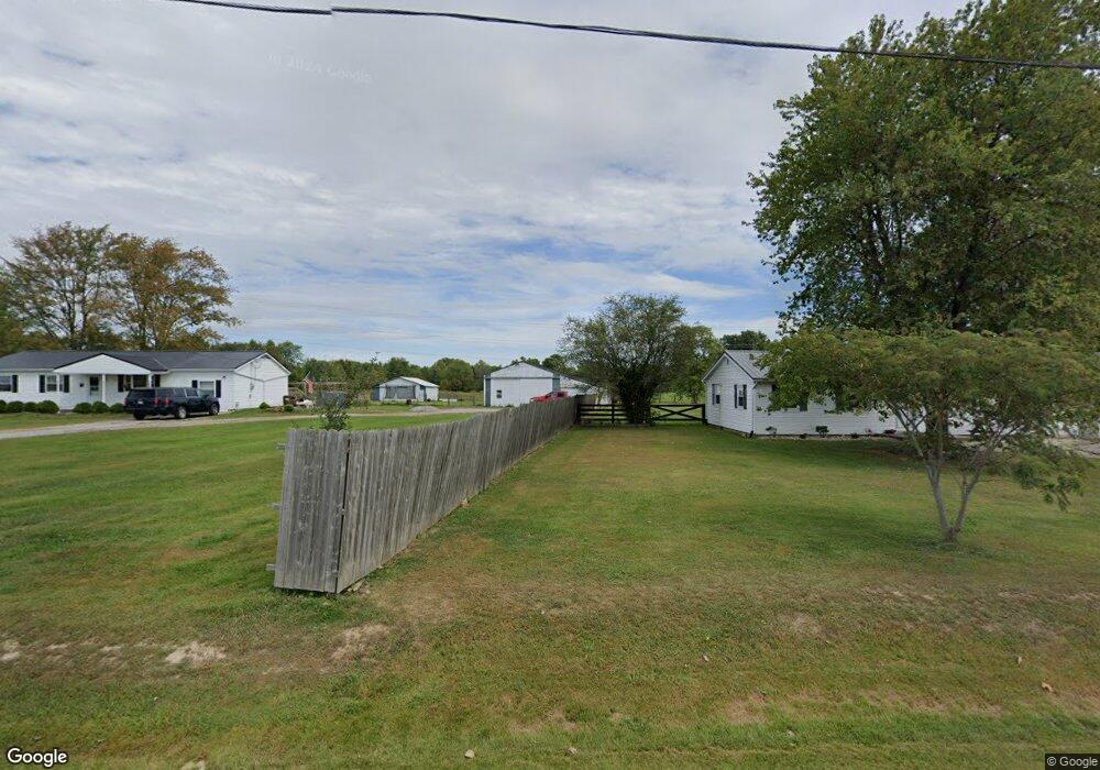
4483 Shafer Rd Georgetown, OH 45121
Estimated Value: $215,000 - $245,000
3
Beds
2
Baths
1,456
Sq Ft
$160/Sq Ft
Est. Value
About This Home
This home is located at 4483 Shafer Rd, Georgetown, OH 45121 and is currently estimated at $232,539, approximately $159 per square foot. 4483 Shafer Rd is a home located in Brown County with nearby schools including Western Brown High School.
Ownership History
Date
Name
Owned For
Owner Type
Purchase Details
Closed on
Apr 21, 2004
Sold by
Alaska Seaboard Partners Lp
Bought by
Hamilton Jeremy
Current Estimated Value
Home Financials for this Owner
Home Financials are based on the most recent Mortgage that was taken out on this home.
Original Mortgage
$103,000
Outstanding Balance
$48,369
Interest Rate
5.63%
Mortgage Type
Unknown
Estimated Equity
$184,170
Purchase Details
Closed on
Jul 22, 2003
Sold by
Carver Wilford M
Bought by
Alaska Seaboard Partners Lp
Create a Home Valuation Report for This Property
The Home Valuation Report is an in-depth analysis detailing your home's value as well as a comparison with similar homes in the area
Purchase History
| Date | Buyer | Sale Price | Title Company |
|---|---|---|---|
| Hamilton Jeremy | $103,000 | -- | |
| Alaska Seaboard Partners Lp | $80,000 | -- |
Source: Public Records
Mortgage History
| Date | Status | Borrower | Loan Amount |
|---|---|---|---|
| Open | Hamilton Jeremy | $103,000 |
Source: Public Records
Tax History
| Year | Tax Paid | Tax Assessment Tax Assessment Total Assessment is a certain percentage of the fair market value that is determined by local assessors to be the total taxable value of land and additions on the property. | Land | Improvement |
|---|---|---|---|---|
| 2024 | $1,450 | $52,870 | $15,650 | $37,220 |
| 2023 | $1,449 | $39,010 | $11,340 | $27,670 |
| 2022 | $1,132 | $39,010 | $11,340 | $27,670 |
| 2021 | $1,119 | $39,010 | $11,340 | $27,670 |
| 2020 | $1,004 | $33,930 | $9,870 | $24,060 |
| 2019 | $1,081 | $33,930 | $9,870 | $24,060 |
| 2018 | $1,071 | $33,930 | $9,870 | $24,060 |
| 2017 | $1,046 | $32,870 | $10,850 | $22,020 |
| 2016 | $1,046 | $32,870 | $10,850 | $22,020 |
| 2015 | $1,057 | $32,870 | $10,850 | $22,020 |
| 2014 | $1,057 | $31,890 | $9,870 | $22,020 |
| 2013 | $1,054 | $31,890 | $9,870 | $22,020 |
Source: Public Records
Map
Nearby Homes
- AC Stony Hollow Rd
- 9705 W Fork Rd
- 10702 Smoky Row Rd
- 11864 Main St
- 11866 Main St
- 11868 Main St
- 0 Barnes Rd Unit 1851215
- 3070 Watson Rd
- 4940 Goose Run Rd
- 2 N Kenwood Ave
- 1 N Kenwood Ave
- 427 Kenwood Ave
- 508 Mount Orab Pike
- 399 Elmwood Ct
- 401 Elmwood Ct
- 60 New St
- 405 N Main St
- 406 E North St
- 6614 Ashridge Arnheim Rd
- 9291 Daugherty Marks Rd
- 4497 Shafer Rd
- 4465 Shafer Rd
- 4449 Shafer Rd
- 10462 Us Rt 68
- 10442 Us Highway 68
- 10442 Us Highway 68
- 10482 Us Highway 68
- 10482 Us Rt 68
- 4565 Shafer Rd
- 10399 Us Highway 68
- 10506 Us Highway 68
- 10506 Us Rt 68
- 4589 Shafer Rd
- 10332 Us Highway 68
- 10540 Us Highway 68
- 10540 Us Highway 68
- 10540 Us Highway 68
- 10540 Us Highway 68
- 10540 Us Highway 68
- 10576 Us Highway 68