4485 Detelemark Rd Dundas, MN 55019
Estimated Value: $423,000 - $633,000
4
Beds
3
Baths
1,510
Sq Ft
$353/Sq Ft
Est. Value
About This Home
This home is located at 4485 Detelemark Rd, Dundas, MN 55019 and is currently estimated at $532,562, approximately $352 per square foot. 4485 Detelemark Rd is a home located in Rice County with nearby schools including Bridgewater Elementary School, Northfield Middle School, and Northfield Senior High School.
Ownership History
Date
Name
Owned For
Owner Type
Purchase Details
Closed on
Dec 11, 2014
Sold by
Jankowski Daniel Daniel
Bought by
Pierce Andrew Andrew
Current Estimated Value
Home Financials for this Owner
Home Financials are based on the most recent Mortgage that was taken out on this home.
Original Mortgage
$260,100
Outstanding Balance
$199,308
Interest Rate
3.93%
Estimated Equity
$333,254
Create a Home Valuation Report for This Property
The Home Valuation Report is an in-depth analysis detailing your home's value as well as a comparison with similar homes in the area
Purchase History
| Date | Buyer | Sale Price | Title Company |
|---|---|---|---|
| Pierce Andrew Andrew | $289,000 | -- |
Source: Public Records
Mortgage History
| Date | Status | Borrower | Loan Amount |
|---|---|---|---|
| Open | Pierce Andrew Andrew | $260,100 |
Source: Public Records
Tax History
| Year | Tax Paid | Tax Assessment Tax Assessment Total Assessment is a certain percentage of the fair market value that is determined by local assessors to be the total taxable value of land and additions on the property. | Land | Improvement |
|---|---|---|---|---|
| 2025 | $5,288 | $494,400 | $121,000 | $373,400 |
| 2024 | $5,288 | $445,900 | $97,900 | $348,000 |
| 2023 | $4,378 | $445,900 | $97,900 | $348,000 |
| 2022 | $4,216 | $410,300 | $92,200 | $318,100 |
| 2021 | $4,068 | $366,300 | $94,300 | $272,000 |
| 2020 | $3,898 | $337,400 | $94,300 | $243,100 |
| 2019 | $3,986 | $318,200 | $88,800 | $229,400 |
| 2018 | $3,862 | $315,300 | $88,800 | $226,500 |
| 2017 | $3,706 | $299,100 | $88,800 | $210,300 |
| 2016 | $3,814 | $316,600 | $80,800 | $235,800 |
| 2015 | $3,794 | $313,700 | $80,800 | $232,900 |
| 2014 | -- | $308,000 | $80,800 | $227,200 |
Source: Public Records
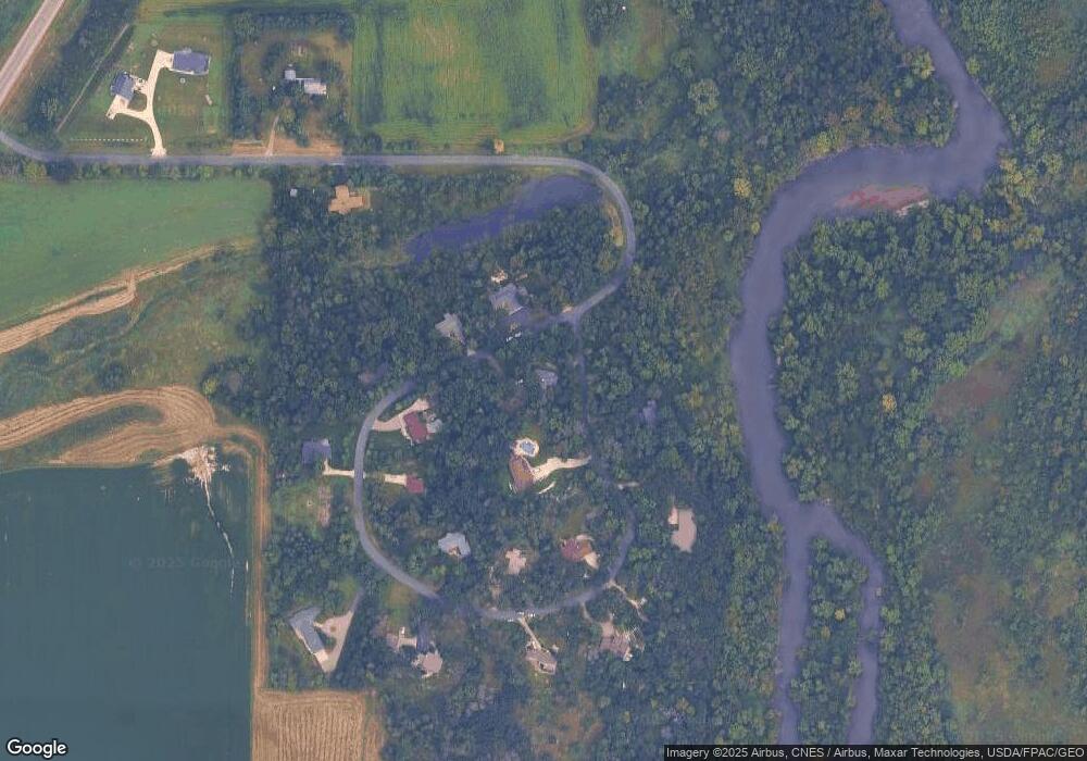
Map
Nearby Homes
- 2068 Millersburg Blvd W
- 5775 115th St E
- 32XX 121st St E
- 8 West Ave W
- 31XX 121st
- TBD Minnesota 3
- 0 West Ave W
- 276 Tower Ave
- 5680 Endwood Trail
- 12326 Falk Trail
- 210 Mill St W
- 502 Springwheat Dr
- 513 Cannon Way
- xxx Weaver Rd
- 501 French Ln
- 514 Miller Ln
- 2804 Oak Lawn Dr
- 555 Cannon Way
- 557 French Ln
- 2718 Brockman Ct Unit 714
- 4507 Detelemark Rd
- 4507 Telemark Rd
- 4665 Detelemark Rd
- 4510 Detelemark Rd
- 4515 Detelemark Rd
- 4494 Detelemark Rd
- 4470 Detelemark Rd
- 4680 Detelemark Rd
- 4565 Detelemark Rd
- 4520 Detelemark Rd
- XXXXX Telemark Rd
- 4645 Detelemark Rd
- 4625 Detelemark Rd
- 4595 Detelemark Rd
- 4595 Telemark Rd
- 4536 Detelemark Rd
- 4650 Detelemark Rd
- 4517 Detelemark Rd
- 4606 Detelemark Rd
- 4626 Detelemark Rd
Your Personal Tour Guide
Ask me questions while you tour the home.