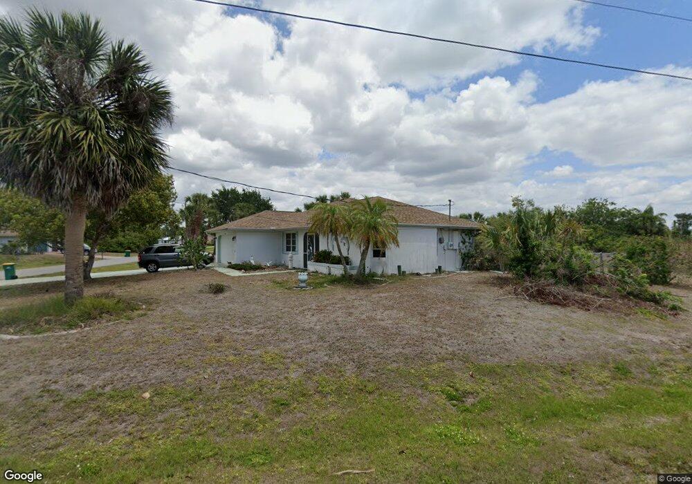
4486 Joseph St Port Charlotte, FL 33948
Estimated Value: $281,421 - $320,000
2
Beds
2
Baths
1,290
Sq Ft
$234/Sq Ft
Est. Value
About This Home
This home is located at 4486 Joseph St, Port Charlotte, FL 33948 and is currently estimated at $302,105, approximately $234 per square foot. 4486 Joseph St is a home located in Charlotte County with nearby schools including Meadow Park Elementary School, Murdock Middle School, and Port Charlotte High School.
Ownership History
Date
Name
Owned For
Owner Type
Purchase Details
Closed on
Mar 10, 2022
Sold by
Prentice and Laurie
Bought by
Prentice Kerry and Higens Brenda M
Current Estimated Value
Purchase Details
Closed on
Jun 24, 2016
Sold by
Warren Gary P and Warren Linda Sue
Bought by
Prentice Kerry and Vokes Laurie
Home Financials for this Owner
Home Financials are based on the most recent Mortgage that was taken out on this home.
Original Mortgage
$157,102
Interest Rate
3.75%
Mortgage Type
FHA
Purchase Details
Closed on
Jul 10, 2000
Sold by
Warren George L and Warren Edna M
Bought by
Warren Gary P and Warren Linda Sue
Create a Home Valuation Report for This Property
The Home Valuation Report is an in-depth analysis detailing your home's value as well as a comparison with similar homes in the area
Home Values in the Area
Average Home Value in this Area
Purchase History
| Date | Buyer | Sale Price | Title Company |
|---|---|---|---|
| Prentice Kerry | -- | Anne E Moore Pllc | |
| Prentice Kerry | $160,000 | Integrity Title Services | |
| Warren Gary P | $82,400 | -- |
Source: Public Records
Mortgage History
| Date | Status | Borrower | Loan Amount |
|---|---|---|---|
| Previous Owner | Prentice Kerry | $157,102 |
Source: Public Records
Tax History Compared to Growth
Tax History
| Year | Tax Paid | Tax Assessment Tax Assessment Total Assessment is a certain percentage of the fair market value that is determined by local assessors to be the total taxable value of land and additions on the property. | Land | Improvement |
|---|---|---|---|---|
| 2023 | $2,325 | $140,306 | $0 | $0 |
| 2022 | $2,230 | $136,219 | $0 | $0 |
| 2021 | $2,163 | $128,992 | $0 | $0 |
| 2020 | $2,114 | $127,211 | $0 | $0 |
| 2019 | $2,023 | $124,351 | $0 | $0 |
| 2018 | $1,858 | $122,032 | $0 | $0 |
| 2017 | $1,835 | $119,522 | $9,724 | $109,798 |
| 2016 | $527 | $65,483 | $0 | $0 |
| 2015 | $503 | $65,028 | $0 | $0 |
| 2014 | $483 | $64,512 | $0 | $0 |
Source: Public Records
Map
Nearby Homes
- 17360 Ohara Dr
- 4466 Bayview St
- 4407 Joseph St
- 17509 Ohara Dr
- 4497 Bayview St
- 4441 Collingswood Blvd
- 5035 Collingswood Blvd
- 18020 Ohara Dr
- 4295 Joseph St
- 4440 Tatum St
- 18037 Ohara Dr
- 18019 Avonsdale Cir
- 4420 Larkspur Ct
- 18048,18040, 18056 Wing Ave
- 4436 Larkspur Ct
- 4193 Joseph St
- 18053 Ohara Dr
- 18053 Cullman Ave
- 5117 Collingswood Blvd
- 18049 Republic Ave
- 17341 Foremost Ln
- 17382 Foremost Ln Unit 90
- 17415 Foremost Ln
- 17382 Foremost Ln
- 4468 Joseph St
- 4477 & 448 Joseph St
- 4477 & 4485 Joseph St
- 17456 Foremost Ln
- 4469 Joseph St
- 17466 Foremost Ln
- 17406 Foremost Ln
- 17431 Skipper Ln
- 4507 Joseph St
- 17405 Foremost Ln
- 17423 Skipper Ln
- 4450 Joseph St
- 17474 Foremost Ln
- 4515 Joseph St
- 17398 Foremost Ln
- 17397 Foremost Ln