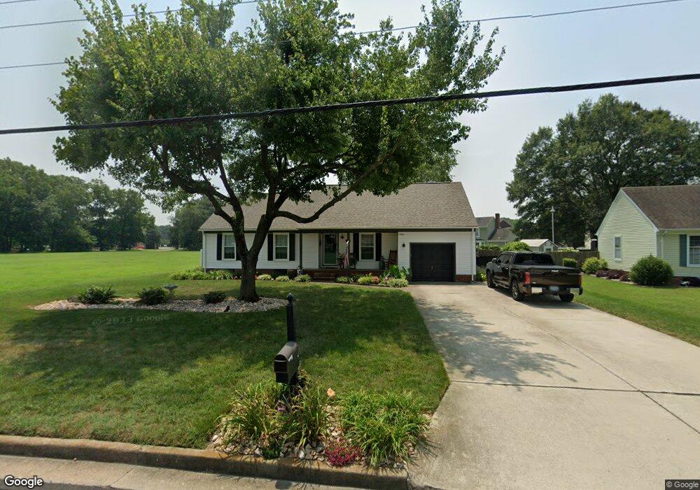
4486 River Shore Rd Portsmouth, VA 23703
Churchland NeighborhoodEstimated Value: $268,000 - $312,000
--
Bed
2
Baths
1,220
Sq Ft
$240/Sq Ft
Est. Value
About This Home
This home is located at 4486 River Shore Rd, Portsmouth, VA 23703 and is currently estimated at $292,483, approximately $239 per square foot. 4486 River Shore Rd is a home located in Portsmouth City with nearby schools including Churchland Primary/Intermediate School, Churchland Middle School, and Churchland High School.
Ownership History
Date
Name
Owned For
Owner Type
Purchase Details
Closed on
Dec 1, 2000
Sold by
Drum Kenneth M
Bought by
Lesueur William K
Current Estimated Value
Home Financials for this Owner
Home Financials are based on the most recent Mortgage that was taken out on this home.
Original Mortgage
$104,300
Outstanding Balance
$37,939
Interest Rate
7.7%
Estimated Equity
$254,544
Create a Home Valuation Report for This Property
The Home Valuation Report is an in-depth analysis detailing your home's value as well as a comparison with similar homes in the area
Home Values in the Area
Average Home Value in this Area
Purchase History
| Date | Buyer | Sale Price | Title Company |
|---|---|---|---|
| Lesueur William K | $104,500 | -- |
Source: Public Records
Mortgage History
| Date | Status | Borrower | Loan Amount |
|---|---|---|---|
| Open | Lesueur William K | $104,300 |
Source: Public Records
Tax History Compared to Growth
Tax History
| Year | Tax Paid | Tax Assessment Tax Assessment Total Assessment is a certain percentage of the fair market value that is determined by local assessors to be the total taxable value of land and additions on the property. | Land | Improvement |
|---|---|---|---|---|
| 2025 | $3,730 | $296,680 | $102,600 | $194,080 |
| 2024 | $3,730 | $278,610 | $102,600 | $176,010 |
| 2023 | $3,251 | $260,070 | $102,600 | $157,470 |
| 2022 | $2,982 | $229,380 | $85,500 | $143,880 |
| 2021 | $2,616 | $201,240 | $57,360 | $143,880 |
| 2020 | $2,581 | $198,500 | $54,620 | $143,880 |
| 2019 | $2,500 | $192,320 | $54,620 | $137,700 |
| 2018 | $2,500 | $192,320 | $54,620 | $137,700 |
| 2017 | $2,500 | $192,320 | $54,620 | $137,700 |
| 2016 | $2,500 | $192,320 | $54,620 | $137,700 |
| 2015 | $2,420 | $186,140 | $54,620 | $131,520 |
| 2014 | $2,364 | $186,140 | $54,620 | $131,520 |
Source: Public Records
Map
Nearby Homes
- 4444 Southampton Arch
- 5728 Hawthorne Ln
- 5693 Rivermill Cir
- 4619 River Shore Rd
- 5833 Hawthorne Ln
- 5606 Gregory Ct
- 21 Windy Pines Crescent
- 4232 Summerset Dr
- 4224 Burnham Dr
- 4200 Quince Rd
- 4028 Swannanoa Dr
- 4726 River Shore Rd
- 8 Compass Ct
- 4100 Mayfair Way
- 5807 Dunkin St
- 17 Shoal Ct
- 4071 Long Point Blvd
- 6750 Burbage Landing Cir
- 3433 Willow Breeze Dr
- 4008 Oakhurst Rd
- 4490 River Shore Rd
- 4433 Birch Rd
- 4437 Birch Rd
- 4494 River Shore Rd
- 4441 Birch Rd
- 4498 River Shore Rd
- 4425 Birch Rd
- 4430 Birch Rd
- 4445 Birch Rd
- 4449 River Shore Rd
- 4501 River Shore Rd
- 5648 Parish Ln
- 4449 Birch Rd
- 4421 Birch Rd
- 4424 Schoolhouse Path
- 4440 Birch Rd
- 4424 Birch Rd
- 5646 Parish Ln
- 5655 Parish Ln
- 4444 Birch Rd