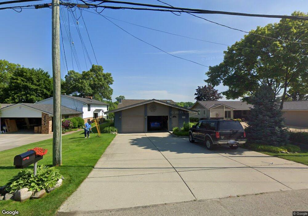
4486 S Shore St Waterford, MI 48328
Waterford Township NeighborhoodEstimated Value: $653,227 - $867,000
5
Beds
4
Baths
2,772
Sq Ft
$269/Sq Ft
Est. Value
About This Home
This home is located at 4486 S Shore St, Waterford, MI 48328 and is currently estimated at $746,057, approximately $269 per square foot. 4486 S Shore St is a home located in Oakland County with nearby schools including Cooley Elementary School, Pierce Middle School, and Waterford Kettering High School.
Ownership History
Date
Name
Owned For
Owner Type
Purchase Details
Closed on
Apr 18, 2019
Sold by
Hart Dann D and Thomas Amy
Bought by
Dann D Hart Revocable Living Trust
Current Estimated Value
Purchase Details
Closed on
Jul 25, 2003
Sold by
Hart Dann David and Hart Dann
Bought by
The Dann D Hart Revocable Living Trust
Purchase Details
Closed on
Jan 4, 2002
Sold by
Dann D Hart Tr
Bought by
Hart Dann D
Purchase Details
Closed on
May 15, 2001
Sold by
Hart Dann D
Bought by
Dann D Hart Tr
Purchase Details
Closed on
Feb 8, 2001
Sold by
Hart Kerry A
Bought by
Hart Dann D
Create a Home Valuation Report for This Property
The Home Valuation Report is an in-depth analysis detailing your home's value as well as a comparison with similar homes in the area
Home Values in the Area
Average Home Value in this Area
Purchase History
| Date | Buyer | Sale Price | Title Company |
|---|---|---|---|
| Dann D Hart Revocable Living Trust | -- | None Available | |
| The Dann D Hart Revocable Living Trust | -- | -- | |
| Hart Dann D | -- | -- | |
| Dann D Hart Tr | -- | -- | |
| Hart Dann D | -- | -- |
Source: Public Records
Tax History Compared to Growth
Tax History
| Year | Tax Paid | Tax Assessment Tax Assessment Total Assessment is a certain percentage of the fair market value that is determined by local assessors to be the total taxable value of land and additions on the property. | Land | Improvement |
|---|---|---|---|---|
| 2024 | $4,331 | $311,850 | $0 | $0 |
| 2023 | $4,131 | $287,020 | $0 | $0 |
| 2022 | $6,924 | $269,290 | $0 | $0 |
| 2021 | $6,564 | $250,620 | $0 | $0 |
| 2020 | $3,781 | $246,590 | $0 | $0 |
| 2019 | $6,378 | $227,360 | $0 | $0 |
| 2018 | $6,330 | $223,090 | $0 | $0 |
| 2017 | $5,841 | $223,090 | $0 | $0 |
| 2016 | $5,857 | $208,480 | $0 | $0 |
| 2015 | -- | $183,430 | $0 | $0 |
| 2014 | -- | $171,640 | $0 | $0 |
| 2011 | -- | $156,410 | $0 | $0 |
Source: Public Records
Map
Nearby Homes
- 4241 S Shore St
- 4741 Maycrest Dr
- 1225 Eason
- 1727 Crescent Lake Rd
- 4040 Lark Ave
- 4935 Pontiac Lake Rd
- 4255 Lakewood Dr
- 1358 Hillcrest Dr Unit 4
- 867 Saybrook Dr
- 1249 Woodlow St
- 2164 Georgeland Dr
- 571 Cristy Ave
- 1360 Nancywood Dr
- 4073 Silver Birch Dr
- 5357 Farm Rd
- 5251 Pontiac Lake Rd
- 3633 Richmond St
- 4840 Hobson Ave
- 001 Hobson Ave
- 1339 N Cass Lake Rd
- 4494 S Shore St
- 4460 S Shore St
- 4500 S Shore St
- 4512 S Shore St
- 4430 S Shore St
- 4518 S Shore St
- 4451 S Shore St
- 4416 S Shore St
- 4526 S Shore St
- 1365 Whitney Rd
- 1350 Whitney Rd
- 4534 S Shore St
- 4515 S Shore St
- 4395 S Shore St
- 4400 S Shore St
- 4527 S Shore St
- 4385 S Shore St
- 1346 Whitney Rd
- 4548 S Shore St
- 4547 S Shore St