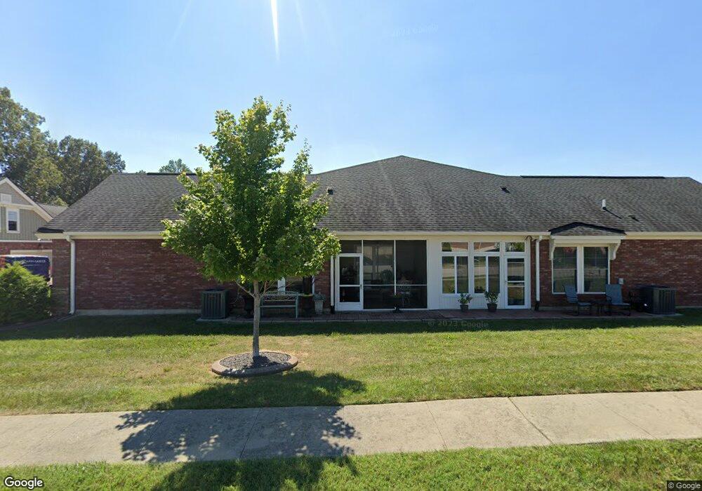
4486 Springhill Dr Unit C Owensboro, KY 42303
Estimated Value: $197,000 - $331,360
3
Beds
2
Baths
1,665
Sq Ft
$173/Sq Ft
Est. Value
About This Home
This home is located at 4486 Springhill Dr Unit C, Owensboro, KY 42303 and is currently estimated at $288,840, approximately $173 per square foot. 4486 Springhill Dr Unit C is a home located in Daviess County with nearby schools including Country Heights Elementary School, College View Middle School, and Daviess County High School.
Ownership History
Date
Name
Owned For
Owner Type
Purchase Details
Closed on
Sep 1, 2022
Sold by
Annin Melinda N
Bought by
Wills Carolyn M
Current Estimated Value
Home Financials for this Owner
Home Financials are based on the most recent Mortgage that was taken out on this home.
Original Mortgage
$204,375
Outstanding Balance
$194,646
Interest Rate
4.87%
Mortgage Type
Construction
Estimated Equity
$94,194
Purchase Details
Closed on
Sep 1, 2015
Bought by
Annin Melinda N
Create a Home Valuation Report for This Property
The Home Valuation Report is an in-depth analysis detailing your home's value as well as a comparison with similar homes in the area
Home Values in the Area
Average Home Value in this Area
Purchase History
| Date | Buyer | Sale Price | Title Company |
|---|---|---|---|
| Wills Carolyn M | $272,500 | Attorney Only | |
| Annin Melinda N | $189,948 | -- |
Source: Public Records
Mortgage History
| Date | Status | Borrower | Loan Amount |
|---|---|---|---|
| Open | Wills Carolyn M | $204,375 |
Source: Public Records
Tax History Compared to Growth
Tax History
| Year | Tax Paid | Tax Assessment Tax Assessment Total Assessment is a certain percentage of the fair market value that is determined by local assessors to be the total taxable value of land and additions on the property. | Land | Improvement |
|---|---|---|---|---|
| 2025 | $2,913 | $272,500 | $0 | $0 |
| 2024 | $2,913 | $272,500 | $0 | $0 |
| 2023 | $2,884 | $272,500 | $0 | $0 |
| 2022 | $1,842 | $204,600 | $0 | $0 |
| 2021 | $1,833 | $204,600 | $0 | $0 |
| 2020 | $1,690 | $189,948 | $0 | $0 |
| 2019 | $1,697 | $189,948 | $0 | $0 |
| 2018 | $3,878 | $189,948 | $0 | $0 |
| 2017 | $1,731 | $189,948 | $0 | $0 |
| 2016 | $1,646 | $153,048 | $0 | $0 |
| 2015 | -- | $189,948 | $0 | $0 |
Source: Public Records
Map
Nearby Homes
- 4508 Lake Forest Dr
- 4547 Lake Forest Dr
- 4627 Mill Spring Cir
- 3173 Bridgewater Cove
- 3305 Spring Ridge Pkwy
- 3114 Bridgewater Cove
- 3195 Bridgewater Cove
- 4534 Oakhurst Bend
- 3140 Cherrywood Dr
- 4930 Creek Valley Ct
- 4991 Bridgewood
- 2981 Lost Lake Cove
- 3724 Strike the Gold Ct
- 4707 Shell Dr
- 2900 Waterside Way
- 3701 Cobblestone Ct
- 5044 Bridgewood Dr
- 3628 Decidedly Ct
- 3271 Bold Forbes Way
- 3700 War Admiral Dr
- 4486 C Springhill Dr
- 4478 Springhill Dr
- 4551 Springhill Dr
- 4604 Tanglewood Park Cove
- 4754 Water Wheel Way
- 4748 Water Wheel Way
- 4760 Water Wheel Way
- 4610 Tanglewood Park Cove
- 4766 Water Wheel Way
- 4471 Springhill Dr
- 4603 Tanglewood Park Cove
- 4742 Water Wheel Way
- 4505 Springhurst Ln
- 4555 Springhurst Ln
- 4537 Springhurst Ln
- 4523 Springhurst Ln
- 4462 Springhill Dr
- 4462 Springhill Dr
- 4736 Water Wheel Way
- 4466 Springhill Dr