44873 Appleburg Ln Pilot Rock, OR 97868
Estimated Value: $435,000 - $606,507
3
Beds
3
Baths
2,254
Sq Ft
$235/Sq Ft
Est. Value
About This Home
This home is located at 44873 Appleburg Ln, Pilot Rock, OR 97868 and is currently estimated at $529,169, approximately $234 per square foot. 44873 Appleburg Ln is a home located in Umatilla County with nearby schools including Pilot Rock Elementary School and Pilot Rock High School.
Ownership History
Date
Name
Owned For
Owner Type
Purchase Details
Closed on
Jul 23, 2018
Sold by
Abw Corp
Bought by
Bacon Robert and Bacon Martha
Current Estimated Value
Home Financials for this Owner
Home Financials are based on the most recent Mortgage that was taken out on this home.
Original Mortgage
$339,857
Outstanding Balance
$294,537
Interest Rate
4.5%
Mortgage Type
VA
Estimated Equity
$234,632
Purchase Details
Closed on
Jun 27, 2017
Sold by
Hatley James D and Hatley Evelyn E
Bought by
Falk Arthur J and Falk Karen L
Purchase Details
Closed on
Mar 10, 2009
Sold by
Humphreys Chris D and Humphreys Sandy M
Bought by
Abw Corporation
Create a Home Valuation Report for This Property
The Home Valuation Report is an in-depth analysis detailing your home's value as well as a comparison with similar homes in the area
Home Values in the Area
Average Home Value in this Area
Purchase History
| Date | Buyer | Sale Price | Title Company |
|---|---|---|---|
| Bacon Robert | $329,000 | Pioneer Title Co | |
| Falk Arthur J | $80,000 | Pioneer Title Co | |
| Abw Corporation | -- | None Available |
Source: Public Records
Mortgage History
| Date | Status | Borrower | Loan Amount |
|---|---|---|---|
| Open | Bacon Robert | $339,857 |
Source: Public Records
Tax History Compared to Growth
Tax History
| Year | Tax Paid | Tax Assessment Tax Assessment Total Assessment is a certain percentage of the fair market value that is determined by local assessors to be the total taxable value of land and additions on the property. | Land | Improvement |
|---|---|---|---|---|
| 2024 | $5,104 | $355,290 | $73,840 | $281,450 |
| 2023 | $5,009 | $344,942 | $71,682 | $273,260 |
| 2022 | $4,166 | $292,750 | $0 | $0 |
| 2021 | $4,043 | $284,228 | $26,648 | $257,580 |
| 2020 | $3,756 | $275,955 | $25,875 | $250,080 |
| 2018 | $3,403 | $260,124 | $24,394 | $235,730 |
| 2017 | $3,288 | $252,554 | $23,684 | $228,870 |
| 2016 | $2,911 | $229,386 | $40,626 | $188,760 |
| 2015 | $3,193 | $211,194 | $18,114 | $193,080 |
| 2014 | $3,071 | $211,194 | $18,114 | $193,080 |
Source: Public Records
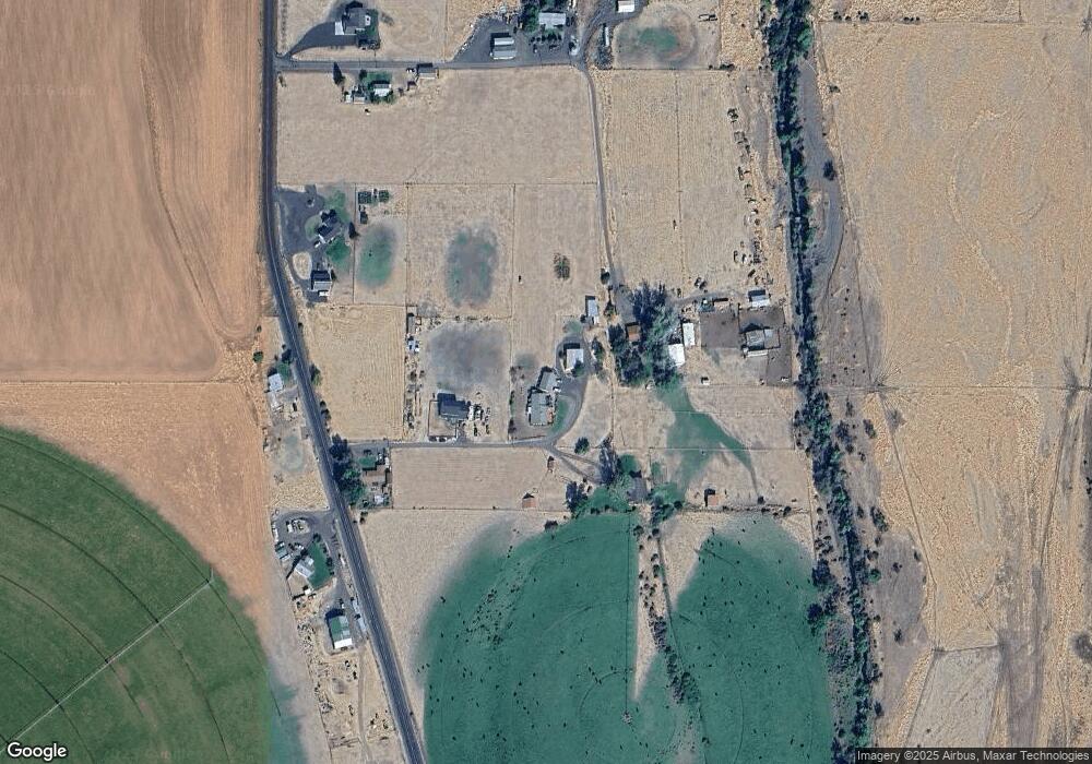
Map
Nearby Homes
- 261 SW 2nd St
- 520 NE 4th St
- 706 NE Gumwood St
- 44743 McKay Creek Rd
- 63615 E Birch Creek Ed
- 000 Motanic Rd
- 70349 Lakeside Rd
- 0000 County 1031 Rd
- 71539 SW Bridle Dr
- 72062 Westfield Blvd
- 904 SW 43rd St
- 4207 SW Sheridan Ave
- 0 Mckay Dr
- 1901 SW Runnion Ln
- 1914 SW 2nd Dr
- 1437 SW 40th St
- 1437 SW 37th St Unit 43
- 1328 SW 44th St
- 0 SW 2nd St Unit 263926795
- 1703 SW 2nd St
- 44859 Appleburg Ln
- 44864 Appleburg Ln
- 66783 E Birch Creek Rd
- 66683 E Birch Creek Rd
- 66809 E Birch Creek Rd
- 66698 E Birch Creek Rd
- 66741 E Birch Creek Rd
- 66775 E Birch Creek Rd
- 66825 E Birch Creek Rd
- 66560 E Birch Creek Rd
- 66833 E Birch Creek Rd
- 66891 E Birch Creek Rd
- 66369 E Birch Creek Rd
- 66963 E Birch Creek Rd
- 67005 E Birch Creek Rd
- 67059 E Birch Creek Rd
- 67081 E Birch Creek Rd
- 67125 E Birch Creek Rd
- 67157 E Birch Creek Rd
- 67851 Northfork McKay Rd