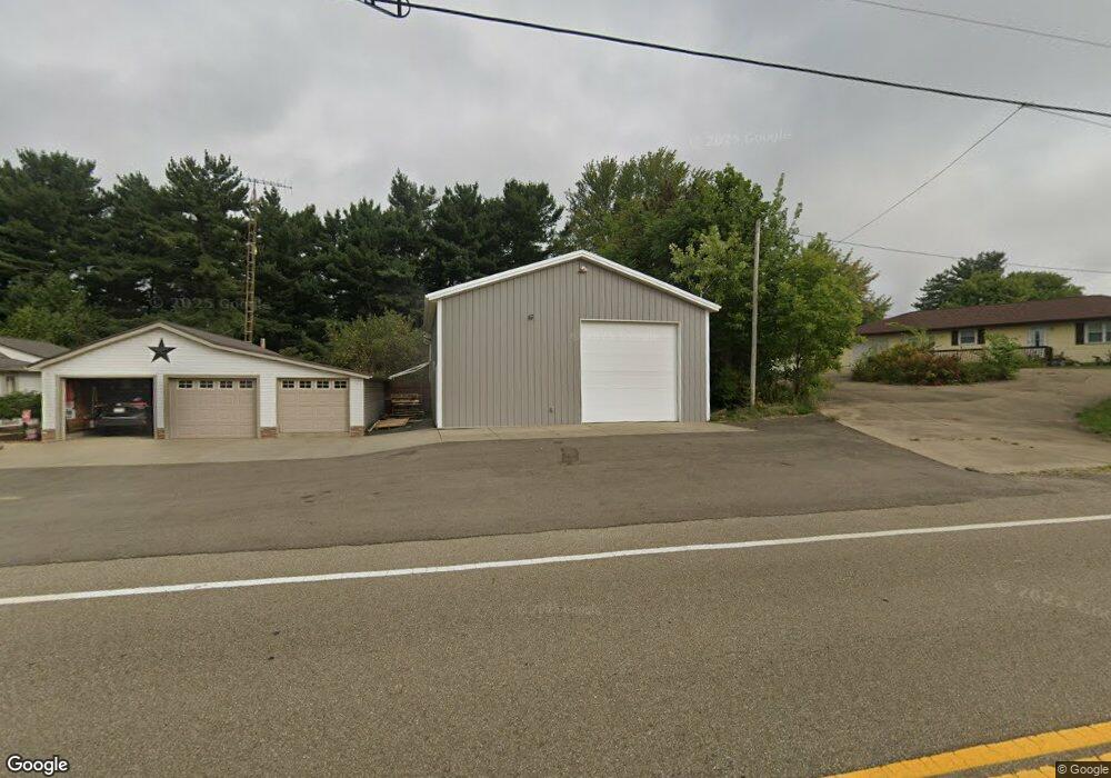
44880 State Route 541 Coshocton, OH 43812
Estimated Value: $247,000 - $318,808
3
Beds
2
Baths
1,856
Sq Ft
$151/Sq Ft
Est. Value
About This Home
This home is located at 44880 State Route 541, Coshocton, OH 43812 and is currently estimated at $280,702, approximately $151 per square foot. 44880 State Route 541 is a home located in Coshocton County with nearby schools including River View High School, Sacred Heart School, and Sacred Heart Elementary School.
Ownership History
Date
Name
Owned For
Owner Type
Purchase Details
Closed on
Oct 8, 2008
Sold by
Mansfield Darren K and Mansfield Leslie J
Bought by
Twarog Tye R and Bucy Heather L
Current Estimated Value
Home Financials for this Owner
Home Financials are based on the most recent Mortgage that was taken out on this home.
Original Mortgage
$121,783
Outstanding Balance
$79,054
Interest Rate
5.94%
Mortgage Type
FHA
Estimated Equity
$201,648
Purchase Details
Closed on
May 3, 2007
Sold by
Asire Sharon and Asire Sharon R
Bought by
Mansfield Darren K and Mansfield Leslie J
Home Financials for this Owner
Home Financials are based on the most recent Mortgage that was taken out on this home.
Original Mortgage
$115,000
Interest Rate
6.21%
Mortgage Type
New Conventional
Purchase Details
Closed on
Jul 13, 2006
Sold by
Estate Of Larry R Asire
Bought by
Asire Sharon
Create a Home Valuation Report for This Property
The Home Valuation Report is an in-depth analysis detailing your home's value as well as a comparison with similar homes in the area
Home Values in the Area
Average Home Value in this Area
Purchase History
| Date | Buyer | Sale Price | Title Company |
|---|---|---|---|
| Twarog Tye R | $124,000 | None Available | |
| Mansfield Darren K | $115,000 | Coshocton County Title Inc | |
| Asire Sharon | -- | None Available |
Source: Public Records
Mortgage History
| Date | Status | Borrower | Loan Amount |
|---|---|---|---|
| Open | Twarog Tye R | $121,783 | |
| Previous Owner | Mansfield Darren K | $115,000 |
Source: Public Records
Tax History Compared to Growth
Tax History
| Year | Tax Paid | Tax Assessment Tax Assessment Total Assessment is a certain percentage of the fair market value that is determined by local assessors to be the total taxable value of land and additions on the property. | Land | Improvement |
|---|---|---|---|---|
| 2024 | $2,559 | $73,580 | $32,400 | $41,180 |
| 2023 | $2,559 | $54,432 | $21,672 | $32,760 |
| 2022 | $2,028 | $54,432 | $21,672 | $32,760 |
| 2021 | $2,028 | $54,432 | $21,672 | $32,760 |
| 2020 | $1,901 | $50,912 | $21,102 | $29,810 |
| 2019 | $1,945 | $50,912 | $21,102 | $29,810 |
| 2018 | $1,817 | $50,912 | $21,102 | $29,810 |
| 2017 | $1,750 | $46,449 | $19,702 | $26,747 |
| 2016 | $1,657 | $46,449 | $19,702 | $26,747 |
| 2015 | $828 | $46,449 | $19,702 | $26,747 |
| 2014 | $1,216 | $34,304 | $14,441 | $19,863 |
Source: Public Records
Map
Nearby Homes
- 0 Cr 58 Unit 5175103
- 45660 County Road 58
- 46418 County Road 501
- 17981 Township Road 347
- 44753 County Road 23
- 46141 County Road 55
- 19625 County Road 6
- 44790 County Road 23
- 771 State Route 541
- 300 Hillsdale Dr
- 20178 County Road 6
- 20413 Township Road 1184
- 21569 State Route 16
- 73 Retilly Dr
- 782 Hill St
- 14405 Ohio 83
- 0 Retilly Dr Unit Lot 4790 225015414
- 0 Retilly Dr Unit Lot 4791 225015416
- 0 Retilly Dr Unit 20250289
- 0 Retilly Dr Unit Lot 4786 225015407
- 44904 State Route 541
- 44874 State Route 541
- 44860 State Route 541
- 44846 State Route 541
- 44926 State Route 541
- 44845 State Route 541
- 44845 State Route 541
- 44953 State Route 541
- 44807 State Route 541
- 44975 State Route 541
- 44780 State Route 541
- 44751 State Route 541
- 45081 State Route 541
- 45070 State Route 541
- 45145 State Route 541
- 44686 State Route 541
- 45197 Ohio 541
- 45197 State Route 541
- 45197 Sr 541w
- 44640 State Route 541