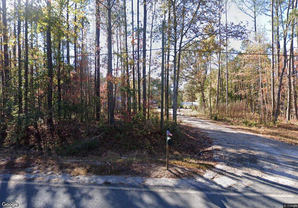
449 Allie Rd Greenville, GA 30222
Estimated Value: $242,000 - $439,000
4
Beds
2
Baths
1,952
Sq Ft
$170/Sq Ft
Est. Value
About This Home
This home is located at 449 Allie Rd, Greenville, GA 30222 and is currently estimated at $331,356, approximately $169 per square foot. 449 Allie Rd is a home with nearby schools including George E. Washington Elementary School.
Ownership History
Date
Name
Owned For
Owner Type
Purchase Details
Closed on
Jan 2, 2018
Sold by
Boyd Tammy Elaine
Bought by
Skidmore Dewey and Skidmore Tammy
Current Estimated Value
Purchase Details
Closed on
Mar 30, 1997
Sold by
Mcclain William T
Bought by
Boyd Tammy Elaine
Purchase Details
Closed on
Apr 1, 1993
Sold by
Mervis Ann Mcclain
Bought by
Mcclain William T
Purchase Details
Closed on
Dec 1, 1986
Bought by
Mervis Ann Mcclain
Create a Home Valuation Report for This Property
The Home Valuation Report is an in-depth analysis detailing your home's value as well as a comparison with similar homes in the area
Home Values in the Area
Average Home Value in this Area
Purchase History
| Date | Buyer | Sale Price | Title Company |
|---|---|---|---|
| Skidmore Dewey | -- | -- | |
| Boyd Tammy Elaine | $28,000 | -- | |
| Mcclain William T | -- | -- | |
| Mervis Ann Mcclain | -- | -- |
Source: Public Records
Tax History Compared to Growth
Tax History
| Year | Tax Paid | Tax Assessment Tax Assessment Total Assessment is a certain percentage of the fair market value that is determined by local assessors to be the total taxable value of land and additions on the property. | Land | Improvement |
|---|---|---|---|---|
| 2024 | $2,259 | $97,368 | $16,480 | $80,888 |
| 2023 | $2,251 | $67,008 | $16,480 | $50,528 |
| 2022 | $2,313 | $67,008 | $16,480 | $50,528 |
| 2021 | $2,349 | $67,008 | $16,480 | $50,528 |
| 2020 | $2,368 | $67,008 | $16,480 | $50,528 |
| 2019 | $2,375 | $67,008 | $16,480 | $50,528 |
| 2018 | $2,522 | $80,648 | $16,480 | $64,168 |
| 2017 | $696 | $29,416 | $16,480 | $12,936 |
| 2016 | $601 | $29,416 | $16,480 | $12,936 |
| 2015 | $602 | $29,416 | $16,480 | $12,936 |
| 2014 | $603 | $29,416 | $16,480 | $12,936 |
| 2013 | -- | $29,416 | $16,480 | $12,936 |
Source: Public Records
Map
Nearby Homes
- 661 Hugh O Neal Rd
- 2114 Allie Rd
- 500 Todd Rd
- The Bradford Plan at Roosevelt Hwy
- The Millie Plan at Roosevelt Hwy
- The Millie Plan at Andrews Mill
- 18760 Roosevelt Hwy
- 5529 Rocky Mount Rd
- 0 Andrews Mill Rd Unit LOT 2 10581693
- 0 Andrews Mill Rd Unit LOT 1 10571858
- 6348 Rocky Mount Rd Unit 3
- 6288 Rocky Mount Rd Unit 2
- 1606 McWilliams Barber Rd
- 1872 McWilliams Barber Rd
- 95 Amanda Ct
- 2638 Jarrell Rd
- 0 Amanda Ct Unit 10552958
- 0 Amanda Ct Unit 7604243
- The Millie Plan at Primrose Road
- The Bradford Plan at Primrose Road
- 535 Allie Rd
- 530 Allie Rd
- 406 Allie Rd
- 355 Allie Rd
- 418 Allie Rd
- 655 Allie Rd
- 657 Allie Rd
- 322 Allie Rd
- 22 Silent Ln
- 644 Allie Rd
- 663 Allie Rd
- 199 Allie Rd
- 0 Shelton Rd
- 0 Shelton Rd Unit 7193723
- 0 Shelton Rd Unit 7540494
- 0 Shelton Rd Unit 8276697
- 0 Shelton Rd Unit 8278327
- 0 Shelton Rd Unit 23+/- Acres 8329040
- 0 Shelton Rd Unit 8424188
- 0 Shelton Rd Unit 7320905
