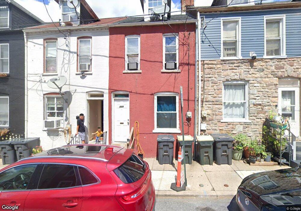
449 Atlantic Ave Lancaster, PA 17602
Churchtowne NeighborhoodEstimated Value: $131,664 - $164,000
4
Beds
1
Bath
1,016
Sq Ft
$146/Sq Ft
Est. Value
About This Home
This home is located at 449 Atlantic Ave, Lancaster, PA 17602 and is currently estimated at $148,416, approximately $146 per square foot. 449 Atlantic Ave is a home located in Lancaster County with nearby schools including Carter & MacRae Elementary School, Reynolds Middle School, and McCaskey High School.
Ownership History
Date
Name
Owned For
Owner Type
Purchase Details
Closed on
Nov 12, 2018
Sold by
Tran Tina Y
Bought by
Tran Toan Q and Tran Tina Y
Current Estimated Value
Purchase Details
Closed on
Mar 29, 2016
Sold by
Tran Tuan Q and Hong Kim Oanh
Bought by
Tran Tina Y
Purchase Details
Closed on
Sep 17, 2008
Sold by
Brown Charles L and Brown Lucie E
Bought by
Kim Tran Tuan Q and Kim Hong Oanh
Create a Home Valuation Report for This Property
The Home Valuation Report is an in-depth analysis detailing your home's value as well as a comparison with similar homes in the area
Home Values in the Area
Average Home Value in this Area
Purchase History
| Date | Buyer | Sale Price | Title Company |
|---|---|---|---|
| Tran Toan Q | -- | Abstract Associates Of Lanca | |
| Tran Tina Y | $50,000 | Attorney | |
| Kim Tran Tuan Q | $47,000 | None Available | |
| Kim Tran Tuan Q | $47,000 | None Available |
Source: Public Records
Tax History Compared to Growth
Tax History
| Year | Tax Paid | Tax Assessment Tax Assessment Total Assessment is a certain percentage of the fair market value that is determined by local assessors to be the total taxable value of land and additions on the property. | Land | Improvement |
|---|---|---|---|---|
| 2025 | $1,290 | $32,600 | $4,900 | $27,700 |
| 2024 | $1,290 | $32,600 | $4,900 | $27,700 |
| 2023 | $1,268 | $32,600 | $4,900 | $27,700 |
| 2022 | $1,215 | $32,600 | $4,900 | $27,700 |
| 2021 | $1,189 | $32,600 | $4,900 | $27,700 |
| 2020 | $1,189 | $32,600 | $4,900 | $27,700 |
| 2019 | $1,172 | $32,600 | $4,900 | $27,700 |
| 2018 | $695 | $32,600 | $4,900 | $27,700 |
| 2017 | $1,410 | $30,700 | $5,100 | $25,600 |
| 2016 | $1,397 | $30,700 | $5,100 | $25,600 |
| 2015 | $545 | $30,700 | $5,100 | $25,600 |
| 2014 | $1,219 | $30,700 | $5,100 | $25,600 |
Source: Public Records
Map
Nearby Homes
- 462 S Christian St
- 507 Locust St
- 536 Woodward St
- 513 Howard Ave
- 520 S Duke St
- 555 Woodward St
- 567 S Christian St
- 459 S Queen St
- 518 Green St
- 14 E Farnum St
- 316 Beaver St
- 341 S Prince St
- 506 Beaver St
- 348 S Prince St
- 346 S Prince St
- 530 S Lime St
- 561 S Lime St
- 543 S Prince St
- 641 S Queen St
- 54 Green St
- 451 Atlantic Ave
- 453 Atlantic Ave
- 455 Atlantic Ave
- 447 Atlantic Ave
- 445 Atlantic Ave
- 457 Atlantic Ave
- 507 North St
- 459 Atlantic Ave
- 461 Atlantic Ave
- 463 Atlantic Ave
- 505 North St
- 465 Atlantic Ave
- 452 Atlantic Ave
- 450 Atlantic Ave
- 454 Atlantic Ave
- 448 Atlantic Ave
- 458 Atlantic Ave
- 467 Atlantic Ave
- 446 Atlantic Ave
- 503 North St