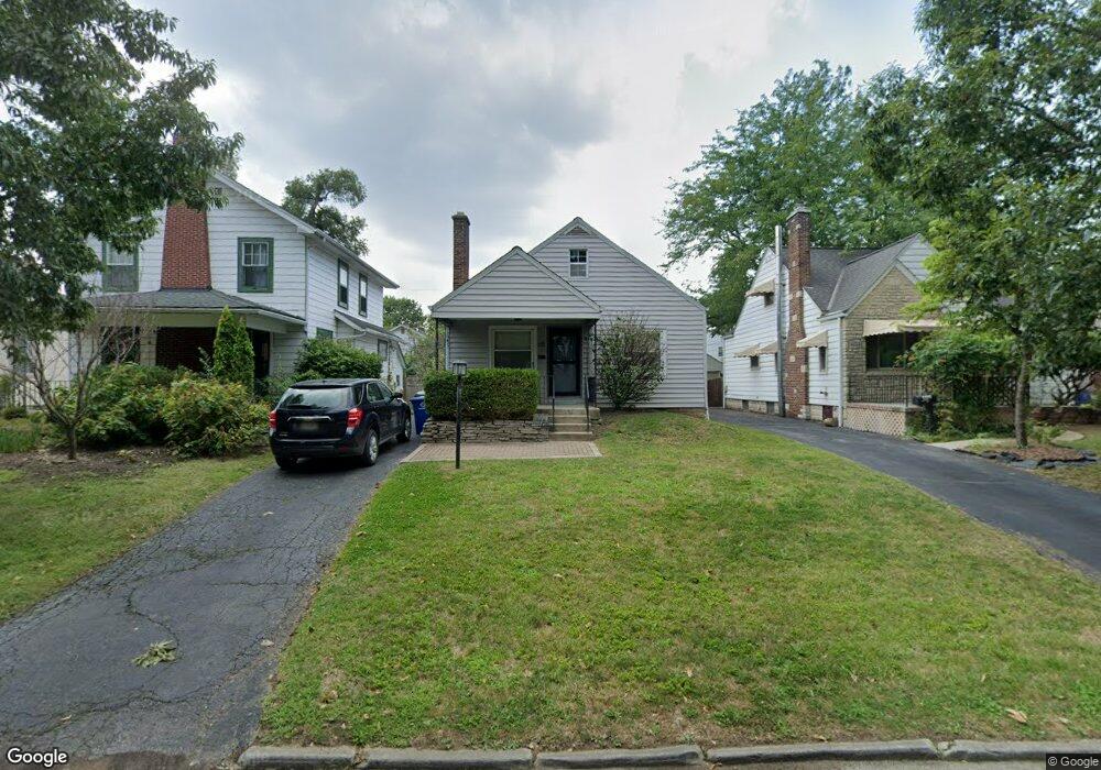
449 Binns Blvd Columbus, OH 43204
Westgate NeighborhoodEstimated Value: $216,735 - $235,000
2
Beds
1
Bath
1,042
Sq Ft
$217/Sq Ft
Est. Value
About This Home
This home is located at 449 Binns Blvd, Columbus, OH 43204 and is currently estimated at $225,684, approximately $216 per square foot. 449 Binns Blvd is a home located in Franklin County with nearby schools including Westgate Alternative Elementary School, Westmoor Middle School, and West High School.
Ownership History
Date
Name
Owned For
Owner Type
Purchase Details
Closed on
Apr 26, 2001
Sold by
Gerst James J
Bought by
Gerst Janice L
Current Estimated Value
Home Financials for this Owner
Home Financials are based on the most recent Mortgage that was taken out on this home.
Original Mortgage
$104,500
Outstanding Balance
$38,789
Interest Rate
6.95%
Estimated Equity
$186,895
Purchase Details
Closed on
Dec 27, 1989
Bought by
Gerst James J
Create a Home Valuation Report for This Property
The Home Valuation Report is an in-depth analysis detailing your home's value as well as a comparison with similar homes in the area
Home Values in the Area
Average Home Value in this Area
Purchase History
| Date | Buyer | Sale Price | Title Company |
|---|---|---|---|
| Gerst Janice L | $110,000 | Chelsea Title Agency | |
| Gerst James J | $56,500 | -- |
Source: Public Records
Mortgage History
| Date | Status | Borrower | Loan Amount |
|---|---|---|---|
| Open | Gerst Janice L | $104,500 |
Source: Public Records
Tax History Compared to Growth
Tax History
| Year | Tax Paid | Tax Assessment Tax Assessment Total Assessment is a certain percentage of the fair market value that is determined by local assessors to be the total taxable value of land and additions on the property. | Land | Improvement |
|---|---|---|---|---|
| 2024 | $2,845 | $63,390 | $22,050 | $41,340 |
| 2023 | $2,809 | $63,385 | $22,050 | $41,335 |
| 2022 | $2,015 | $38,850 | $7,070 | $31,780 |
| 2021 | $2,019 | $38,850 | $7,070 | $31,780 |
| 2020 | $2,021 | $38,850 | $7,070 | $31,780 |
| 2019 | $1,952 | $32,170 | $5,880 | $26,290 |
| 2018 | $1,837 | $32,170 | $5,880 | $26,290 |
| 2017 | $1,926 | $32,170 | $5,880 | $26,290 |
| 2016 | $1,902 | $28,710 | $7,110 | $21,600 |
| 2015 | $1,726 | $28,710 | $7,110 | $21,600 |
| 2014 | $1,731 | $28,710 | $7,110 | $21,600 |
| 2013 | $949 | $31,920 | $7,910 | $24,010 |
Source: Public Records
Map
Nearby Homes
- 457 Guernsey Ave
- 363 S Chase Ave
- 610 Salisbury Rd
- 327 S Chase Ave
- 438 S Powell Ave
- 638 Binns Blvd
- 339 S Powell Ave
- 2845 Fremont St
- 267 S Westgate Ave
- 570 Wiltshire Rd
- 261 S Chase Ave
- 0 S Brinker Ave
- 406 S Hague Ave Unit 6
- 211 Guernsey Ave
- 638 Wiltshire Rd
- 389 S Harris Ave
- 586 S Hague Ave
- 725 Binns Blvd
- 3276-3278 Sullivant Ave
- 3300-3302 Sullivant Ave
- 455 Binns Blvd
- 459 Binns Blvd
- 439 Binns Blvd
- 465 Binns Blvd
- 433 Binns Blvd
- 446-448 S Huron Ave
- 446 S Huron Ave Unit 448
- 452 S Huron Ave Unit 454
- 471 Binns Blvd
- 440 S Huron Ave Unit 442
- 440 S Huron Ave Unit 2
- 458-460 S Huron Ave Unit 458 and 460
- 458 S Huron Ave Unit 460
- 450 Binns Blvd
- 434-436 S Huron Ave
- 434 S Huron Ave Unit 436
- 434 S Huron Ave Unit 36
- 444 Binns Blvd
- 456 Binns Blvd
- 462 S Huron Ave Unit 464