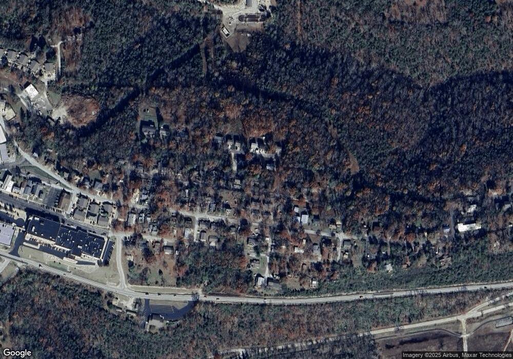
449 Blair Blvd Forsyth, MO 65653
Estimated Value: $93,000 - $143,000
--
Bed
--
Bath
738
Sq Ft
$169/Sq Ft
Est. Value
About This Home
This home is located at 449 Blair Blvd, Forsyth, MO 65653 and is currently estimated at $124,822, approximately $169 per square foot. 449 Blair Blvd is a home with nearby schools including Forsyth Elementary School, Forsyth Middle School, and Forsyth High School.
Ownership History
Date
Name
Owned For
Owner Type
Purchase Details
Closed on
Oct 1, 2021
Sold by
Robertson Christopher A and Robertson Kimberly A
Bought by
Rodman Nicole Deanne
Current Estimated Value
Home Financials for this Owner
Home Financials are based on the most recent Mortgage that was taken out on this home.
Original Mortgage
$62,500
Outstanding Balance
$56,994
Interest Rate
2.8%
Mortgage Type
Seller Take Back
Estimated Equity
$67,828
Purchase Details
Closed on
Mar 17, 2014
Sold by
Miller Donald Ray
Bought by
Robertson Chris
Home Financials for this Owner
Home Financials are based on the most recent Mortgage that was taken out on this home.
Original Mortgage
$15,000
Interest Rate
4.32%
Mortgage Type
Future Advance Clause Open End Mortgage
Purchase Details
Closed on
Aug 20, 2010
Sold by
Ormsby Jeffrey
Bought by
Ormsby Kimball G
Create a Home Valuation Report for This Property
The Home Valuation Report is an in-depth analysis detailing your home's value as well as a comparison with similar homes in the area
Home Values in the Area
Average Home Value in this Area
Purchase History
| Date | Buyer | Sale Price | Title Company |
|---|---|---|---|
| Rodman Nicole Deanne | $83,125 | None Listed On Document | |
| Robertson Chris | -- | None Available | |
| Ormsby Kimball G | -- | Hogan Land Title |
Source: Public Records
Mortgage History
| Date | Status | Borrower | Loan Amount |
|---|---|---|---|
| Open | Rodman Nicole Deanne | $62,500 | |
| Previous Owner | Robertson Chris | $15,000 |
Source: Public Records
Tax History Compared to Growth
Tax History
| Year | Tax Paid | Tax Assessment Tax Assessment Total Assessment is a certain percentage of the fair market value that is determined by local assessors to be the total taxable value of land and additions on the property. | Land | Improvement |
|---|---|---|---|---|
| 2025 | $228 | $4,370 | -- | -- |
| 2023 | $228 | $4,700 | $0 | $0 |
| 2022 | $226 | $4,700 | $0 | $0 |
| 2021 | $225 | $4,700 | $0 | $0 |
| 2019 | $213 | $4,290 | $0 | $0 |
| 2018 | $212 | $4,290 | $0 | $0 |
| 2017 | $212 | $4,290 | $0 | $0 |
| 2016 | $135 | $2,750 | $0 | $0 |
| 2015 | $135 | $2,750 | $0 | $0 |
| 2014 | $133 | $2,660 | $0 | $0 |
Source: Public Records
Map
Nearby Homes
- 573 Shadowrock Dr
- 209 Blunk Terrace
- 612 Shadowrock Dr
- 16500 State Hwy 160 Hwy
- 189 Pierce Place
- 000 U S 160
- 292 Boswell Rd
- 16205 U S 160
- 191 State Highway Y
- 176 Arnold Place
- 217 Wichita Ave
- 290 Atchison Ave
- 154 Scofield Ave
- 20376 U S 160
- 51 Eagle Dr
- 53 Eagle Dr
- 47 Eagle Dr
- 49 Eagle Dr
- 59 Eagle Dr
- 000 State Highway Y
- 256 Blunk Terrace
- 226 Blunk Terrace
- 485 Blair Blvd
- 259 Blunk
- 521 Shadowrock Dr
- 579 Shadowrock Dr
- 219 Blunk Terrace Unit Lot 15
- 503 Blair Blvd
- 266 Blunk Terrace
- 156 Rhodes Ave
- 611 Shadowrock Dr
- 586 Shadowrock Dr
- 505 Shadowrock Dr
- 532 Shadowrock Dr
- 269 Blunk Terrace
- 594 Shadowrock Dr
- 519 Blair Blvd
- 498/500 Shadowrock Dr Dr
- 377 Blair Blvd
- 000 Blunk
