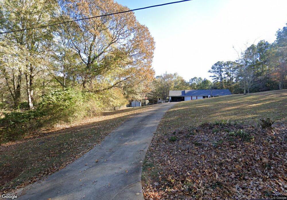
449 Burnt Log Dr Fortson, GA 31808
Estimated Value: $340,000 - $351,000
3
Beds
2
Baths
2,323
Sq Ft
$148/Sq Ft
Est. Value
About This Home
This home is located at 449 Burnt Log Dr, Fortson, GA 31808 and is currently estimated at $344,667, approximately $148 per square foot. 449 Burnt Log Dr is a home located in Harris County with nearby schools including New Mountain Hill Elementary School, Harris County Carver Middle School, and Harris County High School.
Ownership History
Date
Name
Owned For
Owner Type
Purchase Details
Closed on
May 11, 2018
Sold by
Deems Donna
Bought by
Whitman David L
Current Estimated Value
Home Financials for this Owner
Home Financials are based on the most recent Mortgage that was taken out on this home.
Original Mortgage
$174,780
Outstanding Balance
$150,491
Interest Rate
4.4%
Mortgage Type
New Conventional
Estimated Equity
$194,176
Purchase Details
Closed on
Jan 14, 1999
Bought by
Deems Donna
Create a Home Valuation Report for This Property
The Home Valuation Report is an in-depth analysis detailing your home's value as well as a comparison with similar homes in the area
Home Values in the Area
Average Home Value in this Area
Purchase History
| Date | Buyer | Sale Price | Title Company |
|---|---|---|---|
| Whitman David L | $194,200 | -- | |
| Deems Donna | $6,500 | -- |
Source: Public Records
Mortgage History
| Date | Status | Borrower | Loan Amount |
|---|---|---|---|
| Open | Whitman David L | $174,780 |
Source: Public Records
Tax History Compared to Growth
Tax History
| Year | Tax Paid | Tax Assessment Tax Assessment Total Assessment is a certain percentage of the fair market value that is determined by local assessors to be the total taxable value of land and additions on the property. | Land | Improvement |
|---|---|---|---|---|
| 2024 | $2,455 | $86,596 | $6,685 | $79,911 |
| 2023 | $2,451 | $86,434 | $6,685 | $79,749 |
| 2022 | $2,451 | $86,434 | $6,685 | $79,749 |
| 2021 | $2,311 | $78,208 | $6,685 | $71,523 |
| 2020 | $2,311 | $78,208 | $6,685 | $71,523 |
| 2019 | $2,218 | $78,208 | $6,685 | $71,523 |
| 2018 | $2,352 | $84,928 | $6,685 | $78,243 |
| 2017 | $2,353 | $84,928 | $6,685 | $78,243 |
| 2016 | $2,137 | $84,390 | $6,685 | $77,705 |
| 2015 | $2,141 | $84,390 | $6,685 | $77,705 |
| 2014 | $2,145 | $84,390 | $6,685 | $77,705 |
| 2013 | -- | $84,389 | $6,684 | $77,704 |
Source: Public Records
Map
Nearby Homes
- 333 Eastside Dr Unit 23
- 333 Eastside Dr Unit 25
- 333 Eastside Dr Unit 60
- 333 Eastside Dr Unit 24
- 333 Eastside Dr Unit 4
- 161 Layfield Branch Rd
- 0 Davis Rd Unit 23501828
- 0 Davis Rd Unit 10515754
- 0 Davis Rd
- 0 Davis Rd
- 39 Cove Hollow Rd
- 302 Odom Dr
- 1236 Martin Rd
- 21 Lookout Dr
- 230 Kelly Dr
- 0 Lick Skillet Rd Unit 219228
- 340 Commodore Dr
- 94 Hidden Trail
- 695 Boat Club Rd
- 625 Boat Club Rd
- 411 Burnt Log Dr
- 444 Burnt Log Dr
- 400 Burnt Log Dr
- 514 Burnt Log Dr
- 477 Burnt Log Dr
- 380 Burnt Log Dr
- 540 Burnt Log Dr
- 980 Bartletts Ferry Rd
- 986 Bartletts Ferry Rd
- 360 Burnt Log Dr
- 544 Burnt Log Dr
- 570 Burnt Log Dr
- 600 Burnt Log Dr
- 280 Burnt Log Dr
- 878 Bartletts Ferry Rd
- 610 Burnt Log Dr
- 250 Burnt Log Dr
- 1051 Bartletts Ferry Rd
- 937 Bartletts Ferry Rd
- 210 Burnt Log Dr