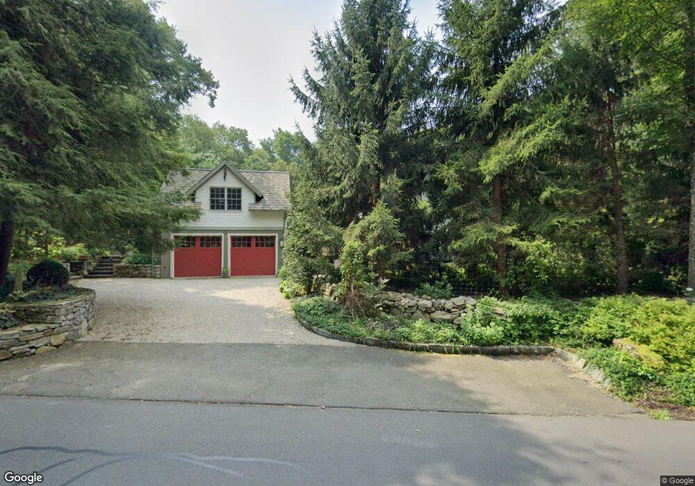
449 Center Rd Easton, CT 06612
Estimated Value: $965,000 - $1,029,000
4
Beds
5
Baths
3,195
Sq Ft
$312/Sq Ft
Est. Value
About This Home
This home is located at 449 Center Rd, Easton, CT 06612 and is currently estimated at $995,252, approximately $311 per square foot. 449 Center Rd is a home located in Fairfield County with nearby schools including Samuel Staples Elementary School, Helen Keller Middle School, and Joel Barlow High School.
Ownership History
Date
Name
Owned For
Owner Type
Purchase Details
Closed on
Mar 18, 2025
Sold by
Bourgeois Alain M
Bought by
433 Center Rd Llc
Current Estimated Value
Purchase Details
Closed on
Oct 16, 2012
Sold by
Bourgeois Alain M and Bourgeois Jessica B
Bought by
Bourgeois Alain M
Create a Home Valuation Report for This Property
The Home Valuation Report is an in-depth analysis detailing your home's value as well as a comparison with similar homes in the area
Home Values in the Area
Average Home Value in this Area
Purchase History
| Date | Buyer | Sale Price | Title Company |
|---|---|---|---|
| 433 Center Rd Llc | -- | None Available | |
| 433 Center Rd Llc | -- | None Available | |
| Bourgeois Alain M | -- | -- | |
| Bourgeois Alain M | -- | -- |
Source: Public Records
Tax History Compared to Growth
Tax History
| Year | Tax Paid | Tax Assessment Tax Assessment Total Assessment is a certain percentage of the fair market value that is determined by local assessors to be the total taxable value of land and additions on the property. | Land | Improvement |
|---|---|---|---|---|
| 2025 | $15,841 | $511,000 | $193,200 | $317,800 |
| 2024 | $15,095 | $511,000 | $193,200 | $317,800 |
| 2023 | $14,799 | $511,000 | $193,200 | $317,800 |
| 2022 | $14,533 | $511,000 | $193,200 | $317,800 |
| 2021 | $15,582 | $481,660 | $177,100 | $304,560 |
| 2020 | $14,931 | $481,660 | $177,100 | $304,560 |
| 2019 | $15,090 | $481,660 | $177,100 | $304,560 |
| 2018 | $15,114 | $481,660 | $177,100 | $304,560 |
| 2017 | $16,078 | $481,660 | $177,100 | $304,560 |
| 2016 | $15,357 | $498,430 | $191,100 | $307,330 |
| 2015 | $15,142 | $498,430 | $191,100 | $307,330 |
| 2014 | $14,905 | $498,480 | $191,100 | $307,380 |
Source: Public Records
Map
Nearby Homes
- 100 Honeysuckle Hill Ln
- 80 Norton Rd
- 354 Black Rock Turnpike
- 18 Wells Hill Rd
- 85 Westport Rd
- 8 Messex Ln
- 29 Old Stage Coach Rd
- 64 Old Redding Rd
- 90 Redding Rd
- 3 Mayflower Ln
- 897 Sport Hill Rd
- 101 Northwood Dr
- 100 E Common Rd
- 48 Sunset Rd
- 39 Sunset Rd
- 198 Steep Hill Rd
- 305 Sport Hill Rd
- 191 Steep Hill Rd
- 4 Colony Rd
- 76 Burr St
- 439 Center Rd
- 433 Center Rd
- 427 Center Rd
- 419 Center Rd
- 409 Center Rd
- 16 Laskay Dr
- 22 Laskay Dr
- 399 Center Rd
- 28 Laskay Dr
- 393 Center Rd
- 387 Center Rd
- 35 Laskay Dr
- 381 Center Rd
- 51 Old Sow Rd
- 360 Center Rd
- 25 Old Sow Rd
- 375 Center Rd
- 640 Black Rock Turnpike Unit 720
- 575 Black Rock Turnpike
- 115 Honeysuckle Hill Ln