449 King Arthur Rd Blakeslee, PA 18610
Estimated Value: $323,424 - $452,000
5
Beds
2
Baths
1,232
Sq Ft
$323/Sq Ft
Est. Value
About This Home
This home is located at 449 King Arthur Rd, Blakeslee, PA 18610 and is currently estimated at $397,356, approximately $322 per square foot. 449 King Arthur Rd is a home with nearby schools including Tobyhanna Elementary Center, Clear Run Intermediate School, and Pocono Mountain West Junior High School.
Ownership History
Date
Name
Owned For
Owner Type
Purchase Details
Closed on
Oct 15, 2009
Sold by
Brown Elaine M
Bought by
Hunsicker James L and Hunsicker Linda K
Current Estimated Value
Purchase Details
Closed on
Nov 11, 2005
Sold by
Forrest William J and Forrest Jeanne R
Bought by
Brown Elaine M
Home Financials for this Owner
Home Financials are based on the most recent Mortgage that was taken out on this home.
Original Mortgage
$180,000
Interest Rate
6.06%
Mortgage Type
New Conventional
Create a Home Valuation Report for This Property
The Home Valuation Report is an in-depth analysis detailing your home's value as well as a comparison with similar homes in the area
Home Values in the Area
Average Home Value in this Area
Purchase History
| Date | Buyer | Sale Price | Title Company |
|---|---|---|---|
| Hunsicker James L | $190,000 | None Available | |
| Brown Elaine M | $225,000 | None Available |
Source: Public Records
Mortgage History
| Date | Status | Borrower | Loan Amount |
|---|---|---|---|
| Previous Owner | Brown Elaine M | $180,000 |
Source: Public Records
Tax History Compared to Growth
Tax History
| Year | Tax Paid | Tax Assessment Tax Assessment Total Assessment is a certain percentage of the fair market value that is determined by local assessors to be the total taxable value of land and additions on the property. | Land | Improvement |
|---|---|---|---|---|
| 2025 | $1,169 | $149,530 | $33,640 | $115,890 |
| 2024 | $968 | $149,530 | $33,640 | $115,890 |
| 2023 | $3,802 | $149,530 | $33,640 | $115,890 |
| 2022 | $3,749 | $149,530 | $33,640 | $115,890 |
| 2021 | $3,749 | $149,530 | $33,640 | $115,890 |
| 2020 | $3,749 | $149,530 | $33,640 | $115,890 |
| 2019 | $3,656 | $21,290 | $2,930 | $18,360 |
| 2018 | $3,656 | $21,290 | $2,930 | $18,360 |
| 2017 | $3,699 | $21,290 | $2,930 | $18,360 |
| 2016 | $776 | $21,290 | $2,930 | $18,360 |
| 2015 | -- | $21,290 | $2,930 | $18,360 |
| 2014 | -- | $21,290 | $2,930 | $18,360 |
Source: Public Records
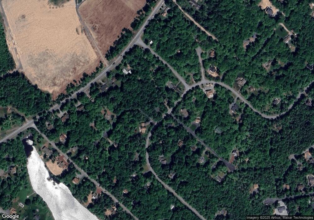
Map
Nearby Homes
- 238 King Arthur Rd
- 102 King Arthur Rd
- 111 Sir Lyonnesse Ct
- 103 Malory Ct
- 502 Route 940
- 137 King Arthur Rd
- 512 Sir Jeoffrey Ct
- 0 Pennsylvania 940
- 18 Robyn Ln
- 201 Sir Jeoffrey Ct
- 405 Lady Patricia Ct
- 336 Sir Bradford Rd
- 0 Pa Rte 940
- 264 Keswick Dr
- 260 Keswick Dr
- 617 Lady Jennifer Ct
- 26 Spruce Rd
- 248 Robyn Ln
- 122 Cranberry Dr
- 124 Cranberry Dr
- 40 King Arthur Rd
- 453 King Arthur Rd
- 153 Sir Lyonnesse Ct
- 104 Sir Lyonnesse Ct
- 103 Malory Ct
- 103 Mallory Ct
- 42 King Arthur Camelot Forest
- 122 Camelot Dr
- 107 Sir Lyonnesse Ct
- 122 Camelot Dr
- Lot 32 Malory Ct
- 19 King Arthur Rd
- 113 King Arthur Rd
- 436 King Arthur Rd
- 102 King Arthur Rd
- 219 King Arthur Rd
- 110 Sir Lyonnesse Ct
- 200 King Arthur Rd
- 0 Camelot Dr
- 4 Camelot Dr