449 Lowell Ave Unit 3 Newtonville, MA 02460
Newtonville NeighborhoodEstimated Value: $523,423 - $768,000
1
Bed
1
Bath
678
Sq Ft
$943/Sq Ft
Est. Value
About This Home
This home is located at 449 Lowell Ave Unit 3, Newtonville, MA 02460 and is currently estimated at $639,106, approximately $942 per square foot. 449 Lowell Ave Unit 3 is a home located in Middlesex County with nearby schools including Cabot Elementary School, F.A. Day Middle School, and Newton North High School.
Ownership History
Date
Name
Owned For
Owner Type
Purchase Details
Closed on
Jan 29, 2015
Sold by
Hetnarski Adam
Bought by
Bernat Jacqueline
Current Estimated Value
Purchase Details
Closed on
Aug 28, 1997
Sold by
Newby Michael and Grebe Robin
Bought by
Bernat Jacqueline and Hetnarski Adam
Home Financials for this Owner
Home Financials are based on the most recent Mortgage that was taken out on this home.
Original Mortgage
$117,600
Interest Rate
7.41%
Mortgage Type
Purchase Money Mortgage
Create a Home Valuation Report for This Property
The Home Valuation Report is an in-depth analysis detailing your home's value as well as a comparison with similar homes in the area
Home Values in the Area
Average Home Value in this Area
Purchase History
| Date | Buyer | Sale Price | Title Company |
|---|---|---|---|
| Bernat Jacqueline | -- | -- | |
| Bernat Jacqueline | $168,000 | -- |
Source: Public Records
Mortgage History
| Date | Status | Borrower | Loan Amount |
|---|---|---|---|
| Previous Owner | Bernat Jacqueline | $117,600 |
Source: Public Records
Tax History Compared to Growth
Tax History
| Year | Tax Paid | Tax Assessment Tax Assessment Total Assessment is a certain percentage of the fair market value that is determined by local assessors to be the total taxable value of land and additions on the property. | Land | Improvement |
|---|---|---|---|---|
| 2025 | $4,460 | $455,100 | $0 | $455,100 |
| 2024 | $4,312 | $441,800 | $0 | $441,800 |
| 2023 | $4,252 | $417,700 | $0 | $417,700 |
| 2022 | $4,185 | $397,800 | $0 | $397,800 |
| 2021 | $4,038 | $375,300 | $0 | $375,300 |
| 2020 | $3,918 | $375,300 | $0 | $375,300 |
| 2019 | $3,808 | $364,400 | $0 | $364,400 |
| 2018 | $3,810 | $352,100 | $0 | $352,100 |
| 2017 | $3,694 | $332,200 | $0 | $332,200 |
| 2016 | $3,533 | $310,500 | $0 | $310,500 |
| 2015 | $3,433 | $295,700 | $0 | $295,700 |
Source: Public Records
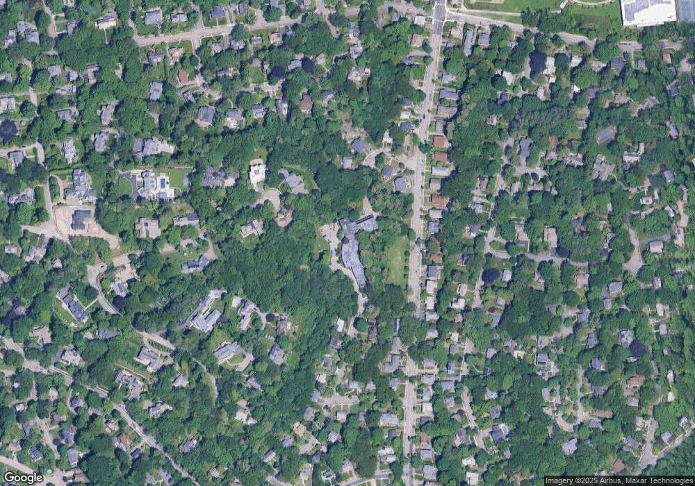
Map
Nearby Homes
- 61 Lakeview Ave
- 308 Prince St
- 39 Valentine Park
- 34 Morton Rd
- 887 Commonwealth Ave
- 123-125 Mount Vernon St
- 123 Mount Vernon St Unit 2
- 22 Walnut Place Unit 1
- 318 Austin St Unit A
- 957 Washington St Unit 1
- 935 Washington St Unit 8
- 12 Wiswall St
- 300 Cabot St
- 4 Wiswall St
- 3 Cedar St
- 911 Washington St
- 54 Garland Rd
- 27 Cross St Unit 27
- 18 Sewall St
- 127-129 Withington Rd Unit 1
- 449 Lowell Ave Unit 13
- 449 Lowell Ave Unit 11
- 449 Lowell Ave Unit 10
- 449 Lowell Ave Unit 9
- 449 Lowell Ave Unit 8
- 449 Lowell Ave Unit 7
- 449 Lowell Ave Unit 6
- 449 Lowell Ave Unit 5
- 449 Lowell Ave Unit 4
- 449 Lowell Ave Unit 1
- 447 Lowell Ave Unit 14
- 447 Lowell Ave Unit 12
- 447 Lowell Ave Unit 2
- 69 Crestwood Rd
- 78 Oak Cliff Rd
- 73 Oak Cliff Rd
- 456 Lowell Ave
- 70 Crestwood Rd
- 64 Oak Cliff Rd
- 441 Lowell Ave Unit 441