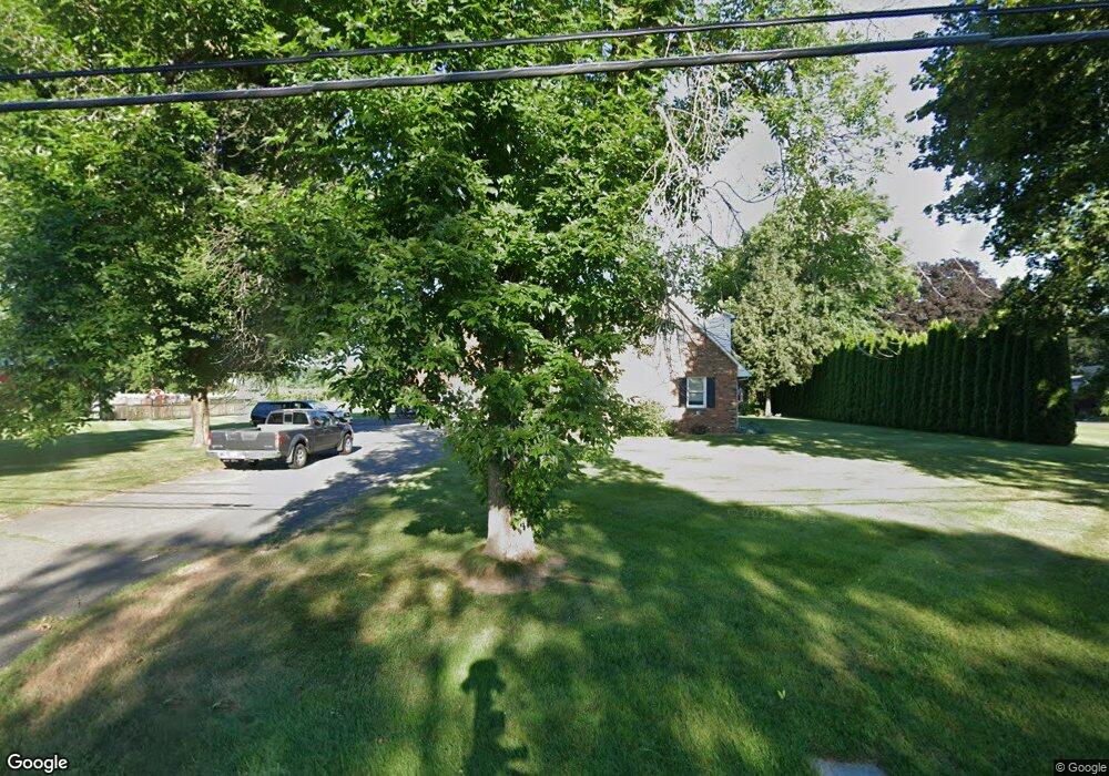
449 Main St Hatfield, MA 01038
Estimated Value: $568,000 - $699,000
3
Beds
3
Baths
2,181
Sq Ft
$281/Sq Ft
Est. Value
About This Home
This home is located at 449 Main St, Hatfield, MA 01038 and is currently estimated at $613,226, approximately $281 per square foot. 449 Main St is a home located in Hampshire County with nearby schools including Hatfield Elementary School and Smith Academy.
Create a Home Valuation Report for This Property
The Home Valuation Report is an in-depth analysis detailing your home's value as well as a comparison with similar homes in the area
Home Values in the Area
Average Home Value in this Area
Tax History
| Year | Tax Paid | Tax Assessment Tax Assessment Total Assessment is a certain percentage of the fair market value that is determined by local assessors to be the total taxable value of land and additions on the property. | Land | Improvement |
|---|---|---|---|---|
| 2025 | $7,737 | $559,000 | $167,800 | $391,200 |
| 2024 | $7,744 | $505,800 | $158,000 | $347,800 |
| 2023 | $6,446 | $478,200 | $150,400 | $327,800 |
| 2022 | $6,153 | $450,100 | $143,600 | $306,500 |
| 2021 | $6,326 | $445,800 | $143,600 | $302,200 |
| 2020 | $6,032 | $445,800 | $143,600 | $302,200 |
| 2019 | $6,009 | $432,600 | $143,600 | $289,000 |
| 2018 | $5,871 | $432,300 | $143,600 | $288,700 |
| 2017 | $5,772 | $436,600 | $150,400 | $286,200 |
| 2016 | $5,782 | $438,700 | $157,100 | $281,600 |
| 2015 | $5,539 | $420,600 | $145,900 | $274,700 |
| 2014 | $5,353 | $422,500 | $145,900 | $276,600 |
Source: Public Records
Map
Nearby Homes
Your Personal Tour Guide
Ask me questions while you tour the home.