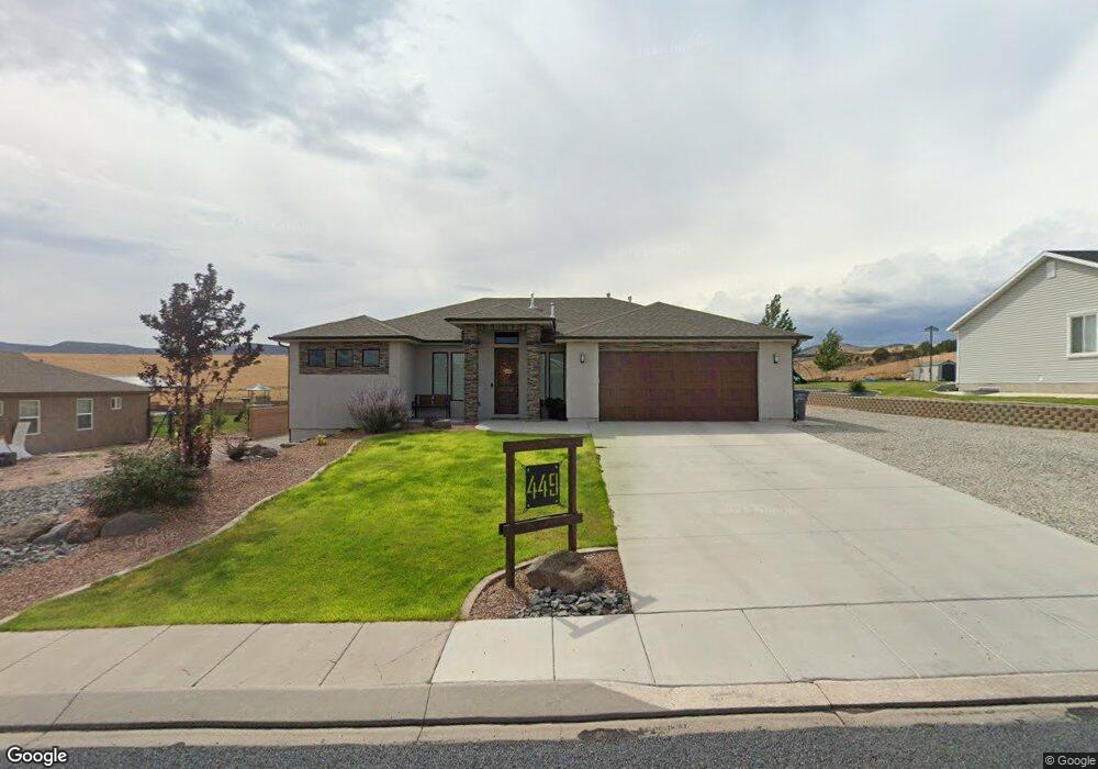
449 N 375 W Enterprise, UT 84725
Estimated Value: $412,000 - $591,000
4
Beds
4
Baths
1,694
Sq Ft
$294/Sq Ft
Est. Value
About This Home
This home is located at 449 N 375 W, Enterprise, UT 84725 and is currently estimated at $498,202, approximately $294 per square foot. 449 N 375 W is a home with nearby schools including Enterprise School and Enterprise High School.
Ownership History
Date
Name
Owned For
Owner Type
Purchase Details
Closed on
Nov 24, 2020
Sold by
Charles Ryan K
Bought by
Charles Ryan K and Charles Danielle K
Current Estimated Value
Home Financials for this Owner
Home Financials are based on the most recent Mortgage that was taken out on this home.
Original Mortgage
$283,500
Outstanding Balance
$252,275
Interest Rate
2.8%
Mortgage Type
New Conventional
Estimated Equity
$245,927
Purchase Details
Closed on
Nov 19, 2020
Sold by
Charles Ryan K and Charles Danielle K
Bought by
Charles Ryan K
Home Financials for this Owner
Home Financials are based on the most recent Mortgage that was taken out on this home.
Original Mortgage
$283,500
Outstanding Balance
$252,275
Interest Rate
2.8%
Mortgage Type
New Conventional
Estimated Equity
$245,927
Create a Home Valuation Report for This Property
The Home Valuation Report is an in-depth analysis detailing your home's value as well as a comparison with similar homes in the area
Purchase History
| Date | Buyer | Sale Price | Title Company |
|---|---|---|---|
| Charles Ryan K | -- | Republic Title | |
| Charles Ryan K | -- | Old Republic Title |
Source: Public Records
Mortgage History
| Date | Status | Borrower | Loan Amount |
|---|---|---|---|
| Open | Charles Ryan K | $283,500 |
Source: Public Records
Tax History
| Year | Tax Paid | Tax Assessment Tax Assessment Total Assessment is a certain percentage of the fair market value that is determined by local assessors to be the total taxable value of land and additions on the property. | Land | Improvement |
|---|---|---|---|---|
| 2025 | $2,052 | $285,505 | $41,250 | $244,255 |
| 2023 | $1,967 | $278,465 | $41,250 | $237,215 |
| 2022 | $2,031 | $273,515 | $41,250 | $232,265 |
| 2021 | $1,744 | $344,700 | $45,000 | $299,700 |
| 2020 | $1,543 | $287,100 | $35,000 | $252,100 |
| 2019 | $302 | $30,000 | $30,000 | $0 |
| 2018 | $321 | $30,000 | $0 | $0 |
| 2017 | $334 | $30,000 | $0 | $0 |
| 2016 | $361 | $30,000 | $0 | $0 |
| 2015 | $374 | $30,000 | $0 | $0 |
| 2014 | $436 | $35,000 | $0 | $0 |
Source: Public Records
Map
Nearby Homes
- 453 N 300 W
- 328 W 475 N
- 232 W 475 N
- 319 N 200 W
- 177 W 350 N
- 120 W 100 St S
- 81 S Center St
- 0 184 77 Acres Unit 25-265059
- 0 184 77 Acres Unit 113074
- 170 E 100 South St
- Financing Miningclaim Ownership
- 373 E 100 N
- 400 E 100 N
- 242 S 200 St E
- 260 E 300 S
- 49 S 475 E Unit 6
- 498 S 75 E
- 231 400 E
- 496 S 200 E
- 246 S 475 E
Your Personal Tour Guide
Ask me questions while you tour the home.