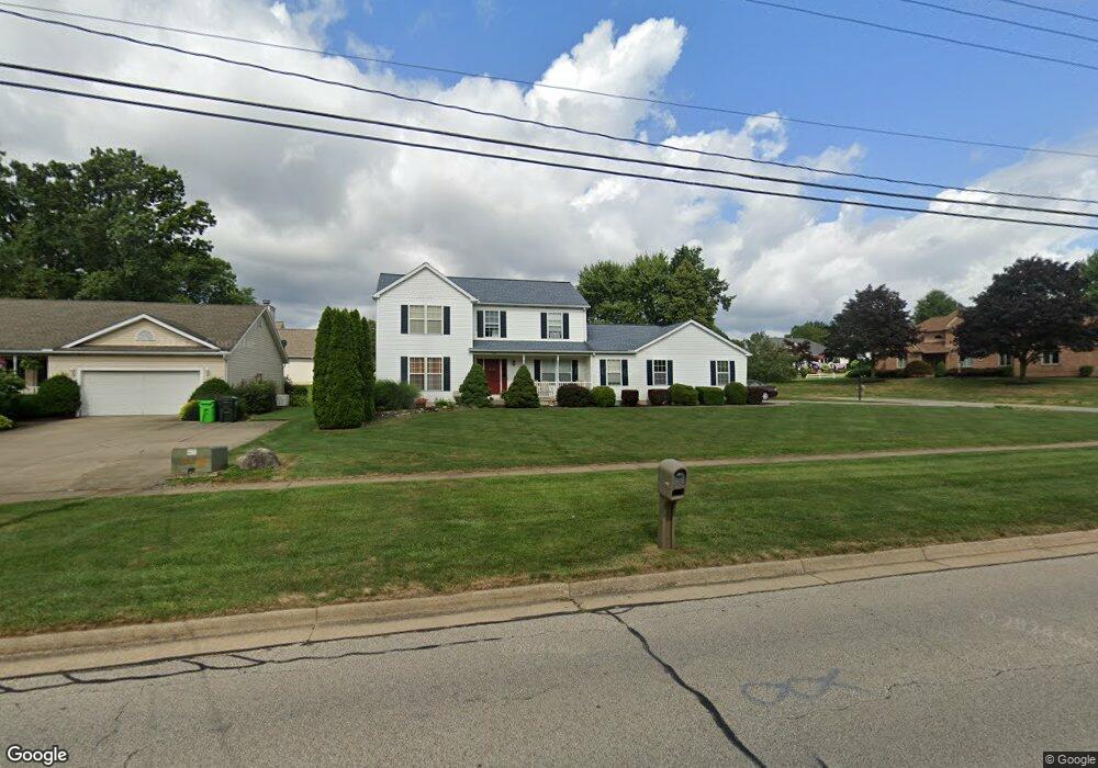
449 N Munroe Rd Tallmadge, OH 44278
Estimated Value: $335,000 - $415,882
4
Beds
2
Baths
2,330
Sq Ft
$167/Sq Ft
Est. Value
About This Home
This home is located at 449 N Munroe Rd, Tallmadge, OH 44278 and is currently estimated at $389,971, approximately $167 per square foot. 449 N Munroe Rd is a home located in Summit County with nearby schools including Tallmadge Middle School, Tallmadge High School, and Cornerstone Community School.
Ownership History
Date
Name
Owned For
Owner Type
Purchase Details
Closed on
Jul 31, 2024
Sold by
Snook Kristina Daniel and Rogers James Harold
Bought by
Rogers James Harold and Rogers Kristina Snook
Current Estimated Value
Purchase Details
Closed on
Jul 18, 2024
Sold by
Snook Kristina Daniel and Rogers James Harold
Bought by
Rogers James Harold and Rogers Kristina Snook
Purchase Details
Closed on
Sep 15, 1999
Sold by
Rankin Charles and Rankin Kathlene
Bought by
Rogers James Harold and Snook Kristin Daniel
Home Financials for this Owner
Home Financials are based on the most recent Mortgage that was taken out on this home.
Original Mortgage
$147,000
Interest Rate
6.5%
Purchase Details
Closed on
Apr 7, 1998
Sold by
Miller Douglas R
Bought by
Rankin Charles and Rankin Kathlene
Purchase Details
Closed on
Aug 28, 1996
Sold by
Atwood Howard W
Bought by
Miller Douglas R and Miller Denise L
Create a Home Valuation Report for This Property
The Home Valuation Report is an in-depth analysis detailing your home's value as well as a comparison with similar homes in the area
Home Values in the Area
Average Home Value in this Area
Purchase History
| Date | Buyer | Sale Price | Title Company |
|---|---|---|---|
| Rogers James Harold | -- | Bennett Land Title | |
| Rogers James Harold | -- | Bennett Land Title | |
| Rogers James Harold | $174,900 | Endress/Lawyers Title | |
| Rankin Charles | $40,000 | -- | |
| Miller Douglas R | $42,500 | -- |
Source: Public Records
Mortgage History
| Date | Status | Borrower | Loan Amount |
|---|---|---|---|
| Previous Owner | Rogers James Harold | $147,000 |
Source: Public Records
Tax History Compared to Growth
Tax History
| Year | Tax Paid | Tax Assessment Tax Assessment Total Assessment is a certain percentage of the fair market value that is determined by local assessors to be the total taxable value of land and additions on the property. | Land | Improvement |
|---|---|---|---|---|
| 2025 | $5,829 | $115,025 | $28,816 | $86,209 |
| 2024 | $5,829 | $115,025 | $28,816 | $86,209 |
| 2023 | $5,829 | $115,025 | $28,816 | $86,209 |
| 2022 | $6,100 | $98,480 | $24,626 | $73,854 |
| 2021 | $6,127 | $98,480 | $24,626 | $73,854 |
| 2020 | $6,079 | $98,480 | $24,630 | $73,850 |
| 2019 | $5,127 | $74,040 | $12,790 | $61,250 |
| 2018 | $4,395 | $71,850 | $12,790 | $59,060 |
| 2017 | $3,743 | $71,850 | $12,790 | $59,060 |
| 2016 | $4,031 | $60,440 | $12,790 | $47,650 |
| 2015 | $3,743 | $60,440 | $12,790 | $47,650 |
| 2014 | $3,719 | $60,440 | $12,790 | $47,650 |
| 2013 | $3,691 | $61,080 | $12,790 | $48,290 |
Source: Public Records
Map
Nearby Homes
- 0 Northeast Ave Unit 5114314
- 617 Northeast Ave
- 557 Wring Dr
- 313 Whittlesey Dr
- 0 East Ave
- 1072 Carol Ln
- 185 Reserve Dr
- 779 Atwood Dr
- 98 Benjamin Way
- 43 Benjamin Way
- 532 Beverly Dr
- 1029 Maple St
- 206 Fawnwood Dr
- 1168 East Ave
- 243 S Munroe Rd
- 213 Green Hill Dr
- 43 Picadilly Ct
- 59 Tudor Ln
- 0 North Ave Unit 5116540
- 988 Beechwood Dr
- 435 N Munroe Rd
- 774 Clark Dr
- 452 Canterbury Way
- 764 Clark Dr
- 462 Canterbury Way
- 450 N Munroe Rd
- 475 N Munroe Rd
- 440 N Munroe Rd
- 466 N Munroe Rd
- 430 N Munroe Rd
- 752 Clark Dr
- 472 Canterbury Way
- 415 N Munroe Rd
- 487 N Munroe Rd
- 453 Canterbury Way
- 478 N Munroe Rd
- V/L 476 Canterbury Way
- 751 Clark Dr
- 738 Clark Dr