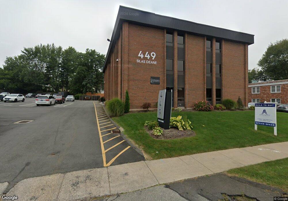
449 Silas Deane Hwy Wethersfield, CT 06109
Estimated Value: $1,402,864
--
Bed
--
Bath
18,756
Sq Ft
$75/Sq Ft
Est. Value
About This Home
This home is located at 449 Silas Deane Hwy, Wethersfield, CT 06109 and is currently estimated at $1,402,864, approximately $74 per square foot. 449 Silas Deane Hwy is a home located in Hartford County with nearby schools including Charles Wright School, Silas Deane Middle School, and Wethersfield High School.
Ownership History
Date
Name
Owned For
Owner Type
Purchase Details
Closed on
Mar 16, 2022
Sold by
Wethersfield Holdings Llc
Bought by
Adc Holdings Ne Llc
Current Estimated Value
Purchase Details
Closed on
Feb 14, 2020
Sold by
Bhatt Winnie
Bought by
Bhatt Jay
Purchase Details
Closed on
Nov 21, 2013
Sold by
449 Silas Deane Llc
Bought by
Wethersfield Holdings
Purchase Details
Closed on
Oct 13, 2004
Sold by
73 Woodlawn Road Llc
Bought by
449 Silas Deane Llc
Purchase Details
Closed on
Jun 11, 1999
Sold by
449 Associates
Bought by
73 Woodlawn Rd Llc
Create a Home Valuation Report for This Property
The Home Valuation Report is an in-depth analysis detailing your home's value as well as a comparison with similar homes in the area
Home Values in the Area
Average Home Value in this Area
Purchase History
| Date | Buyer | Sale Price | Title Company |
|---|---|---|---|
| Adc Holdings Ne Llc | $1,005,000 | None Available | |
| Bhatt Jay | -- | None Available | |
| Wethersfield Holdings | $1,666,667 | -- | |
| 449 Silas Deane Llc | $1,300,000 | -- | |
| 73 Woodlawn Rd Llc | $725,000 | -- |
Source: Public Records
Mortgage History
| Date | Status | Borrower | Loan Amount |
|---|---|---|---|
| Previous Owner | 73 Woodlawn Rd Llc | $227,000 | |
| Previous Owner | 73 Woodlawn Rd Llc | $750,000 |
Source: Public Records
Tax History Compared to Growth
Tax History
| Year | Tax Paid | Tax Assessment Tax Assessment Total Assessment is a certain percentage of the fair market value that is determined by local assessors to be the total taxable value of land and additions on the property. | Land | Improvement |
|---|---|---|---|---|
| 2025 | $29,225 | $708,990 | $411,880 | $297,110 |
| 2024 | $48,517 | $1,122,550 | $355,110 | $767,440 |
| 2023 | $46,900 | $1,122,550 | $355,110 | $767,440 |
| 2022 | $46,114 | $1,122,550 | $355,110 | $767,440 |
| 2021 | $45,654 | $1,122,550 | $355,110 | $767,440 |
| 2020 | $45,677 | $1,122,550 | $355,110 | $767,440 |
| 2019 | $45,733 | $1,122,550 | $355,110 | $767,440 |
| 2018 | $36,739 | $900,900 | $157,400 | $743,500 |
| 2017 | $35,829 | $900,900 | $157,400 | $743,500 |
| 2016 | $34,721 | $900,900 | $157,400 | $743,500 |
| 2015 | $34,405 | $900,900 | $157,400 | $743,500 |
| 2014 | $33,099 | $900,900 | $157,400 | $743,500 |
Source: Public Records
Map
Nearby Homes
- 26 Tifton Rd
- 14 Fernwood St
- 317 Garden St Unit 319
- 118 Church St
- 193 Wolcott Hill Rd Unit 195
- 9 Avalon Place
- 18 Avalon Place
- 41 Hartford Ave
- 442 Wolcott Hill Rd
- 7 Harmund Ct
- 35 Stillwold Dr
- 226 Broad St Unit 1S
- 493 Main St
- 108 Chamberlain Rd
- 53 Wolcott Hill Rd Unit C23
- 89 Longvue Dr
- 48 Sharon Ln
- 55 Rutledge Rd
- 373 Wells Rd
- 159 Spring St Unit 159
- 449 Silas Deane Hwy Unit 302B
- 449 Silas Deane Hwy Unit 302A
- 449 Silas Deane Hwy Unit 302E
- 449 Silas Deane Hwy Unit 302C
- 449 Silas Deane Hwy Unit 100
- 44 Tifton Rd
- 50 Tifton Rd
- 446 Silas Deane Hwy
- 54 Tifton Rd
- 38 Tifton Rd
- 465 Silas Deane Hwy Unit Second Floor
- 465 Silas Deane Hwy Unit First Floor
- 465 Silas Deane Hwy
- 415 Silas Deane Hwy Unit 105
- 415 Silas Deane Hwy Unit 304
- 415 Silas Deane Hwy Unit 104
- 415 Silas Deane Hwy Unit 101
- 415 Silas Deane Hwy Unit 203
- 415 Silas Deane Hwy Unit 100
- 415 Silas Deane Hwy Unit 201-202