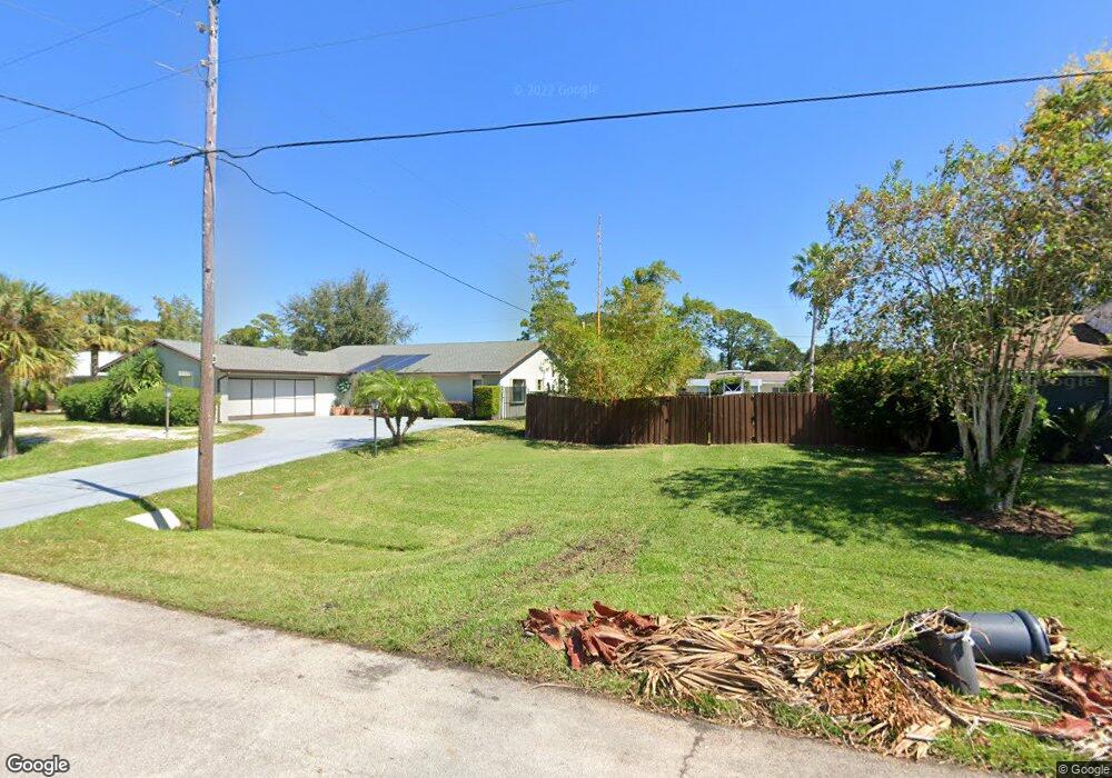
449 Unknown Ave Sebastian, FL 32958
Sebastian Highlands NeighborhoodEstimated Value: $425,000
4
Beds
2
Baths
2,145
Sq Ft
$198/Sq Ft
Est. Value
About This Home
This home is located at 449 Unknown Ave, Sebastian, FL 32958 and is currently estimated at $425,000, approximately $198 per square foot. 449 Unknown Ave is a home with nearby schools including Pelican Island Classical Magnet School, Storm Grove Middle School, and Sebastian River High School.
Ownership History
Date
Name
Owned For
Owner Type
Purchase Details
Closed on
Mar 27, 2020
Sold by
Adams Homes Of Northwest Florida Inc
Bought by
Matthews Ryan Patrick and Matthews Erin Marie
Current Estimated Value
Home Financials for this Owner
Home Financials are based on the most recent Mortgage that was taken out on this home.
Original Mortgage
$244,125
Outstanding Balance
$214,851
Interest Rate
3.4%
Mortgage Type
New Conventional
Estimated Equity
$210,149
Purchase Details
Closed on
Apr 5, 2018
Sold by
Wilson Ronald J and Wilson Elizabeth
Bought by
Adam Homes Of Northeat Florida Inc
Purchase Details
Closed on
Jan 29, 2003
Sold by
Rockwood Rachel
Bought by
Wilson Ronald J and Wilson Elizabeth
Create a Home Valuation Report for This Property
The Home Valuation Report is an in-depth analysis detailing your home's value as well as a comparison with similar homes in the area
Home Values in the Area
Average Home Value in this Area
Purchase History
| Date | Buyer | Sale Price | Title Company |
|---|---|---|---|
| Matthews Ryan Patrick | $271,300 | Mosley & Wallis Ttl Svcs Inc | |
| Adam Homes Of Northeat Florida Inc | $29,000 | Attorney | |
| Wilson Ronald J | $10,000 | -- |
Source: Public Records
Mortgage History
| Date | Status | Borrower | Loan Amount |
|---|---|---|---|
| Open | Matthews Ryan Patrick | $244,125 |
Source: Public Records
Tax History
| Year | Tax Paid | Tax Assessment Tax Assessment Total Assessment is a certain percentage of the fair market value that is determined by local assessors to be the total taxable value of land and additions on the property. | Land | Improvement |
|---|---|---|---|---|
| 2025 | $4,514 | -- | -- | -- |
| 2024 | $3,880 | $281,231 | -- | -- |
| 2022 | $3,710 | $257,618 | $0 | $0 |
| 2021 | $3,707 | $250,114 | $0 | $0 |
Source: Public Records
Map
Nearby Homes
- 443 Lanfair Ave
- 479 Lanfair Ave
- 607 Yearling Trail
- 485 Periwinkle Dr
- 1718 Lagoon Ln
- 307 Yearling Trail
- 718 Yearling Trail
- 1753 Skyline Ln
- 715 Yearling Trail
- 809 Yearling Trail
- 1568 Quatrain Ln
- 233 Periwinkle Dr
- 907 Yearling Trail
- 908 Yearling Trail
- 933 Yearling Trail
- 255 Joy Haven Dr
- 1670 Barber St
- 10440 85th St
- 9995 85th St
- 1562 Schooner Ln
- 457 Lighthouse Ave
- 441 Lighthouse Ave
- 458 Memorial Ave
- 433 Lighthouse Ave
- 474 Memorial Ave
- 442 Memorial Ave
- 465 Lighthouse Ave
- 482 Memorial Ave
- 457 Memorial Ave
- 465 Memorial Ave
- 449 Memorial Ave
- 490 Memorial Ave
- 473 Memorial Ave
- 441 Memorial Ave
- 481 Memorial Ave
- 489 Lighthouse Ave Unit 11
- 489 Lighthouse Ave
- 433 Memorial Ave
- 498 Memorial Ave
- 450 Lanfair Ave
Your Personal Tour Guide
Ask me questions while you tour the home.