449 Weasel Rd Point Roberts, WA 98281
Estimated Value: $428,241 - $629,000
3
Beds
2
Baths
1,836
Sq Ft
$295/Sq Ft
Est. Value
About This Home
This home is located at 449 Weasel Rd, Point Roberts, WA 98281 and is currently estimated at $542,060, approximately $295 per square foot. 449 Weasel Rd is a home located in Whatcom County with nearby schools including Point Roberts Primary School, Blaine Middle School, and Blaine High School.
Ownership History
Date
Name
Owned For
Owner Type
Purchase Details
Closed on
Dec 3, 2021
Sold by
Marie Beukema Brenda
Bought by
Beukema Benjamin Gerrard
Current Estimated Value
Purchase Details
Closed on
Nov 2, 2021
Sold by
Vanseters and Margaret
Bought by
Beukema Julia Marietta and Beukema Benjamin Gerrard
Purchase Details
Closed on
Oct 20, 2015
Sold by
Vanseters Arie
Bought by
Vanseters Arie and Van Seters Margaret
Create a Home Valuation Report for This Property
The Home Valuation Report is an in-depth analysis detailing your home's value as well as a comparison with similar homes in the area
Home Values in the Area
Average Home Value in this Area
Purchase History
| Date | Buyer | Sale Price | Title Company |
|---|---|---|---|
| Beukema Benjamin Gerrard | $313 | Whatcom Land Title | |
| Beukema Benjamin Gerrard | -- | Whatcom Land Title | |
| Beukema Julia Marietta | $300,000 | Whatcom Land Title | |
| Beukema Julia Marietta | $300,000 | Whatcom Land Title | |
| Vanseters Arie | -- | None Available |
Source: Public Records
Tax History
| Year | Tax Paid | Tax Assessment Tax Assessment Total Assessment is a certain percentage of the fair market value that is determined by local assessors to be the total taxable value of land and additions on the property. | Land | Improvement |
|---|---|---|---|---|
| 2025 | $3,105 | $378,471 | $103,403 | $275,068 |
| 2024 | $3,016 | $374,715 | $102,383 | $272,332 |
| 2023 | $3,016 | $365,407 | $93,075 | $272,332 |
| 2022 | $2,621 | $333,705 | $85,000 | $248,705 |
| 2021 | $2,611 | $261,694 | $32,102 | $229,592 |
| 2020 | $2,599 | $242,306 | $29,724 | $212,582 |
| 2019 | $2,411 | $232,426 | $28,512 | $203,914 |
| 2018 | $2,299 | $208,949 | $25,632 | $183,317 |
| 2017 | $1,994 | $199,558 | $24,480 | $175,078 |
| 2016 | $1,735 | $195,645 | $24,000 | $171,645 |
| 2015 | $1,845 | $165,326 | $28,983 | $136,343 |
| 2014 | -- | $172,835 | $30,300 | $142,535 |
| 2013 | -- | $165,118 | $29,100 | $136,018 |
Source: Public Records
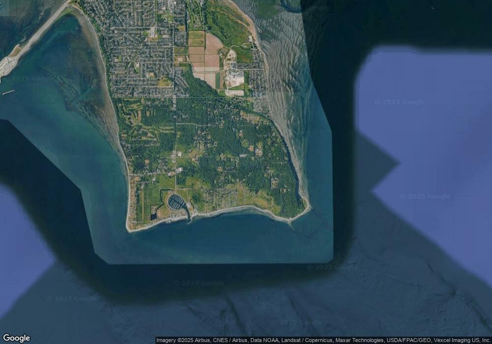
Map
Nearby Homes
- 6 Weasel Run Rd
- Lot 3 Deer Rd
- 2224 Ross Rd
- 0 Deer Rd
- 2138 Benson Rd
- 251 Elizabeth Dr
- 2202 Seabright Loop
- 58 Seabright Loop
- 2045 Apa Rd
- 1987 Cedar Park Dr
- 2242 Seabright Loop
- 103 Goodman Rd
- 0 15 Whalen Dr
- 19 Whalen Dr
- 661 Driftwood Ln
- 749 Kendor Dr
- 0 3 73 Acres Derby Ave
- 1881 Edwards Dr
- 1774 Centennial Place
- 1928 Sanders Ct Unit 2
- 2175 Bear Trap Rd
- 0 Lot 7 Weasel Run Rd
- 5 Lot Weasel Run Rd
- 5 Weasel Run Rd
- 0 Lot 6 Weasel Run Rd
- 0 Weasel Run Rd
- 1 Weasel Run Rd
- 0 Lot 14 Bear Spirit Rd
- 2172 Foxhole Rd
- 462 Weasel Run
- Lot 30 Foxhole Rd
- 0 Weasel Run
- 2175 Fox Hole Rd
- 470 Weasel Run
- 2171 Foxhole Rd
- 462 Moose Trail
- 420 Weasel Run Unit Lots 4 & 5
- 0 Bear Trap Rd Unit 10454333
- 0 Bear Trap Rd Unit 1988122
- 420 Weasel Run Rd
Your Personal Tour Guide
Ask me questions while you tour the home.