Estimated Value: $477,000 - $497,507
4
Beds
4
Baths
3,035
Sq Ft
$159/Sq Ft
Est. Value
About This Home
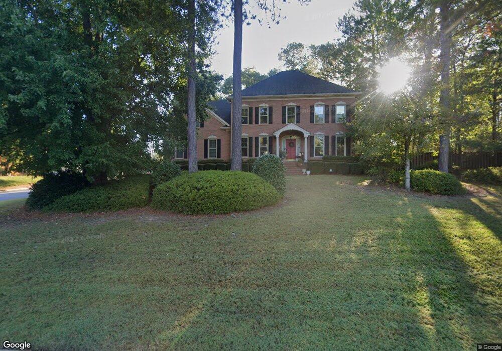
This home is located at 4490 Cape Cod Dr, Evans, GA 30809 and is currently estimated at $483,877, approximately $159 per square foot. 4490 Cape Cod Dr is a home located in Columbia County with nearby schools including River Ridge Elementary School, Riverside Middle School, and Lakeside High School.
Ownership History
Date
Name
Owned For
Owner Type
Purchase Details
Closed on
Jul 19, 2002
Sold by
Sowell Lee E and Sowell Patricia H
Bought by
Ortiz Luis A and Ortiz Ruth M
Current Estimated Value
Home Financials for this Owner
Home Financials are based on the most recent Mortgage that was taken out on this home.
Original Mortgage
$240,000
Outstanding Balance
$91,151
Interest Rate
5.25%
Estimated Equity
$392,726
Create a Home Valuation Report for This Property
The Home Valuation Report is an in-depth analysis detailing your home's value as well as a comparison with similar homes in the area
Home Values in the Area
Average Home Value in this Area
Purchase History
| Date | Buyer | Sale Price | Title Company |
|---|---|---|---|
| Ortiz Luis A | $255,000 | -- |
Source: Public Records
Mortgage History
| Date | Status | Borrower | Loan Amount |
|---|---|---|---|
| Open | Ortiz Luis A | $240,000 |
Source: Public Records
Tax History
| Year | Tax Paid | Tax Assessment Tax Assessment Total Assessment is a certain percentage of the fair market value that is determined by local assessors to be the total taxable value of land and additions on the property. | Land | Improvement |
|---|---|---|---|---|
| 2025 | $4,176 | $174,643 | $29,209 | $145,434 |
| 2024 | $4,600 | $183,781 | $33,769 | $150,012 |
| 2023 | $4,600 | $166,980 | $29,494 | $137,486 |
| 2022 | $3,916 | $150,426 | $27,594 | $122,832 |
| 2021 | $3,674 | $134,953 | $23,129 | $111,824 |
| 2020 | $3,548 | $127,645 | $23,129 | $104,516 |
| 2019 | $3,382 | $121,666 | $20,944 | $100,722 |
| 2018 | $3,281 | $117,624 | $20,564 | $97,060 |
| 2017 | $3,302 | $117,960 | $20,659 | $97,301 |
| 2016 | $3,019 | $111,826 | $19,875 | $91,951 |
| 2015 | $3,039 | $112,386 | $18,640 | $93,746 |
| 2014 | $2,994 | $109,350 | $18,735 | $90,615 |
Source: Public Records
Map
Nearby Homes
- 4489 Woodberry Ct
- 4484 Woodberry Ct
- 829 Woodberry Dr
- 802 Sparkleberry Rd
- 800 Sparkleberry Rd
- 4478 Cape Cod Dr
- 656 Deerwood Way
- 809 Woodberry Dr
- 668 Deerwood Way
- 644 Deerwood Way
- 4418 Pierwood Way
- 929 Burlington Dr
- 854 Sparkleberry Rd
- 726 Whitney Shoals Rd
- 881 Audubon Way
- 814 Audubon Way
- 4449 Pierwood Way
- 648 River Oaks Ln
- 1 Woodbridge Way
- 4614 Stoneridge Ct
- 4488 Cape Cod Dr
- 813 Sparkleberry Rd
- 813 Sparkleberry Rd
- 807 Sparkleberry Rd
- 810 Sparkleberry Rd
- 812 Sparkleberry Rd
- 4489 Cape Cod Dr
- 4486 Cape Cod Dr
- 808 Sparkleberry Rd
- 837 Woodberry Dr
- 4487 Cape Cod Dr
- 816 Sparkleberry Rd
- 815 Sparkleberry Rd
- 815 Sparkleberry Rd
- 836 Woodberry Dr
- 805 Sparkleberry Rd
- 4484 Cape Cod Dr
- 4492 Ridge Pine Dr
- 4492 Ridgepine Dr
- 4488 Ridge Pine Dr
Your Personal Tour Guide
Ask me questions while you tour the home.