4490 E Highway 86 Castle Rock, CO 80104
Estimated Value: $493,000 - $2,317,000
About This Home
This home is located at 4490 E Highway 86, Castle Rock, CO 80104 and is currently estimated at $1,080,487, approximately $877 per square foot. 4490 E Highway 86 is a home located in Douglas County with nearby schools including Rock Ridge Elementary School, Mesa Middle School, and Douglas County High School.
Ownership History
We collect this data history from publicly available records. To have your information removed, we recommend requesting removal directly through your county’s website.
Purchase Details
Purchase Details
Home Financials for this Owner
Home Financials are based on the most recent Mortgage that was taken out on this home.Purchase Details
Purchase Details
Home Financials for this Owner
Home Financials are based on the most recent Mortgage that was taken out on this home.Purchase Details
Purchase Details
Purchase Details
Purchase Details
Purchase Details
Purchase History
We collect this data history from publicly available records. To have your information removed, we recommend requesting removal directly through your county’s website.
| Date | Buyer | Sale Price | Title Company |
|---|---|---|---|
| -- | Land Title Guarantee Company | ||
| $950,000 | Land Title Guarantee Company | ||
| -- | -- | ||
| -- | -- | ||
| $191,790 | -- | ||
| -- | -- | ||
| $350,000 | -- | ||
| -- | -- | ||
| -- | -- | ||
| $215,000 | -- |
Mortgage History
We collect this data history from publicly available records. To have your information removed, we recommend requesting removal directly through your county’s website.
| Date | Status | Borrower | Loan Amount |
|---|---|---|---|
| Open | $650,000 | ||
| Previous Owner | $71,615 |
Tax History
We collect this data history from publicly available records. To have your information removed, we recommend requesting removal directly through your county’s website.
| Year | Tax Paid | Tax Assessment Tax Assessment Total Assessment is a certain percentage of the fair market value that is determined by local assessors to be the total taxable value of land and additions on the property. | Land | Improvement |
|---|---|---|---|---|
| 2026 | $7,295 | $92,320 | $31,320 | $61,000 |
| 2025 | $7,295 | $92,320 | $31,320 | $61,000 |
| 2024 | $7,295 | $90,650 | $33,540 | $57,110 |
| 2023 | $7,439 | $90,650 | $33,540 | $57,110 |
| 2022 | $5,899 | $71,510 | $30,780 | $40,730 |
| 2021 | $9,344 | $71,510 | $30,780 | $40,730 |
| 2020 | $4,214 | $51,200 | $25,550 | $25,650 |
| 2019 | $4,291 | $51,200 | $25,550 | $25,650 |
| 2018 | $3,712 | $43,390 | $21,940 | $21,450 |
| 2017 | $3,444 | $43,390 | $21,940 | $21,450 |
| 2016 | $4,100 | $51,510 | $33,920 | $17,590 |
| 2015 | $4,166 | $51,510 | $33,920 | $17,590 |
| 2014 | $4,452 | $51,760 | $33,920 | $17,840 |
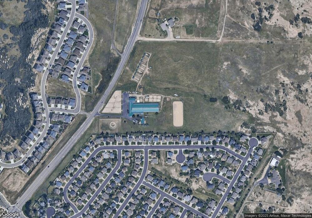
Map
- 1658 Pinion Wing Cir
- 5891 E Tabor Place
- 1203 N Calhan Ave
- 5504 E Burlington Dr
- 4911 Coulee Trail
- 771 Bishop Pine Way
- 5620 Canyon View Dr
- 1172 Basalt Ridge Loop
- 5939 Still Meadow Place
- 5608 E Prescott Ave
- 5221 E Prescott Ave
- 693 Blue Teal Dr
- 1863 N Rocky View Rd
- 5721 E Melody Way
- 4451 McMurdo Ct
- 5409 Spruce Ave
- 4465 McMurdo Ct
- 4423 McMurdo Ct
- 4469 McMurdo Ct
- 930 McMurdo Cir
- 5663 E Monument Dr
- 5645 E Monument Dr
- 5685 E Monument Dr
- 5627 E Monument Dr
- 5705 E Monument Dr
- 5603 E Monument Dr
- 5721 E Monument Dr
- 5585 E Monument Dr
- 5747 E Monument Dr
- 5567 E Monument Dr
- 5765 E Monument Dr
- 1477 N Heritage Ave
- 5541 E Monument Dr
- 1484 N Heritage Ave
- 5783 E Monument Dr
- 5525 E Monument Dr
- 1485 N Monument Cir
- 1468 N Heritage Ave
- 5564 E Monument Dr
- 5807 E Monument Dr
Ask me questions while you tour the home.