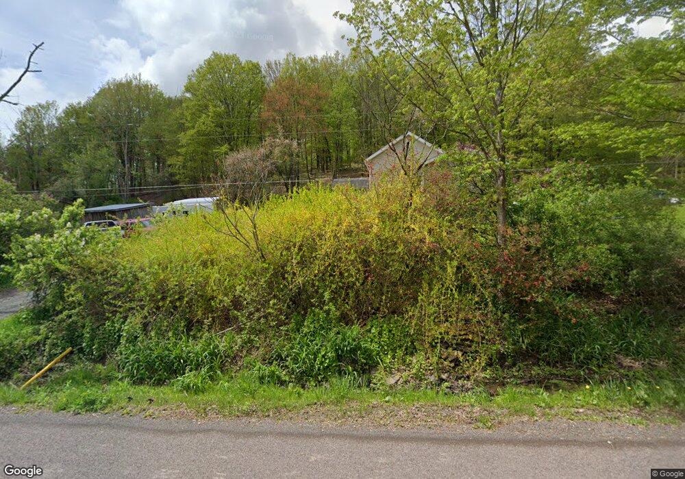
4490 W Nicholson Rd Tunkhannock, PA 18657
Estimated Value: $124,438 - $284,000
--
Bed
--
Bath
--
Sq Ft
10.11
Acres
About This Home
This home is located at 4490 W Nicholson Rd, Tunkhannock, PA 18657 and is currently estimated at $208,360. 4490 W Nicholson Rd is a home located in Wyoming County with nearby schools including Lackawanna Trail Elementary Center and Lackawanna Trail Junior/Senior High School.
Ownership History
Date
Name
Owned For
Owner Type
Purchase Details
Closed on
May 26, 2005
Sold by
Ritter Joann and Ritter Broan J
Bought by
Kinney Scot T and Green Michelle R
Current Estimated Value
Home Financials for this Owner
Home Financials are based on the most recent Mortgage that was taken out on this home.
Original Mortgage
$21,800
Interest Rate
5.94%
Mortgage Type
Unknown
Create a Home Valuation Report for This Property
The Home Valuation Report is an in-depth analysis detailing your home's value as well as a comparison with similar homes in the area
Home Values in the Area
Average Home Value in this Area
Purchase History
| Date | Buyer | Sale Price | Title Company |
|---|---|---|---|
| Kinney Scot T | $109,000 | None Available |
Source: Public Records
Mortgage History
| Date | Status | Borrower | Loan Amount |
|---|---|---|---|
| Closed | Kinney Scot T | $21,800 |
Source: Public Records
Tax History Compared to Growth
Tax History
| Year | Tax Paid | Tax Assessment Tax Assessment Total Assessment is a certain percentage of the fair market value that is determined by local assessors to be the total taxable value of land and additions on the property. | Land | Improvement |
|---|---|---|---|---|
| 2025 | $2,134 | $20,995 | $5,785 | $15,210 |
| 2024 | $2,557 | $20,995 | $5,785 | $15,210 |
| 2023 | $2,125 | $20,995 | $5,785 | $15,210 |
| 2022 | $1,913 | $15,700 | $5,850 | $9,850 |
| 2021 | $1,486 | $15,700 | $5,850 | $9,850 |
| 2020 | $1,514 | $15,700 | $5,850 | $9,850 |
| 2019 | $1,938 | $15,700 | $5,850 | $9,850 |
| 2018 | $1,467 | $15,700 | $5,850 | $9,850 |
| 2017 | $1,413 | $12,250 | $2,400 | $9,850 |
| 2016 | -- | $12,250 | $2,400 | $9,850 |
| 2015 | -- | $12,250 | $2,400 | $9,850 |
| 2014 | -- | $12,250 | $2,400 | $9,850 |
Source: Public Records
Map
Nearby Homes
- 828 W Avery Station Rd
- 24 Oak St
- 70 State St
- 289 Main St
- 180 Savage Rd
- 159 Vail Rd
- 145 Tunnel Rd
- 672 Spencer Hill Rd
- 32 Shore Dr
- 45 Highpoint Dr
- 106 Lexington Dr Unit 1
- 65 Clinton Dr
- 217 Knollridge Dr Unit 11
- 1 Pennsylvania 29
- 10 Bailey Rd
- 0 Sr 29n Unit GSBSC256186
- 173 Pedrick Rd
- 135 Pedrick Rd
- 22 Mount Airy Estate
- 307 Valley Ln
- 4428 W Nicholson Rd
- 4562 W Nicholson Rd
- 4562 W Nicholson Rd
- 121 Betty Ln
- 0 State Route 1011
- 142 Betty Ln
- 268 Squier Hill Rd
- 4342 W Nicholson Rd
- 291 Squier Hill Rd
- 175 Henry Holod Rd
- 4706 W Nicholson Rd
- 393 Squier Hill Rd
- 139 Carey Hill Rd
- 4250 W Nicholson Rd
- 456 Squier Hill Rd
- 142 Henry Holod Rd
- 165 Henry Holod Rd
- 515 Squier Hill Rd
- 533 Squier Hill Rd
- 176 Henry Holod Rd