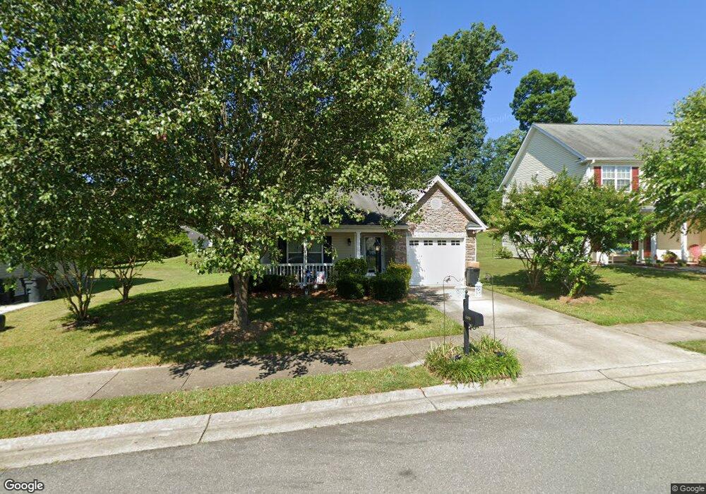
4490 Weatherton Dr Kernersville, NC 27284
Yorktown NeighborhoodEstimated Value: $283,000 - $299,000
3
Beds
2
Baths
1,414
Sq Ft
$204/Sq Ft
Est. Value
About This Home
This home is located at 4490 Weatherton Dr, Kernersville, NC 27284 and is currently estimated at $288,489, approximately $204 per square foot. 4490 Weatherton Dr is a home located in Forsyth County with nearby schools including Union Cross Elementary School, Southeast Middle School, and R.B. Glenn High School.
Ownership History
Date
Name
Owned For
Owner Type
Purchase Details
Closed on
Apr 1, 2010
Sold by
Williamson Donald G
Bought by
Holly Farnda L
Current Estimated Value
Purchase Details
Closed on
Sep 10, 2009
Sold by
Shugart Enterprises Llc
Bought by
Holly Farnda L and Williamson Donald G
Home Financials for this Owner
Home Financials are based on the most recent Mortgage that was taken out on this home.
Original Mortgage
$134,911
Interest Rate
5.22%
Mortgage Type
FHA
Create a Home Valuation Report for This Property
The Home Valuation Report is an in-depth analysis detailing your home's value as well as a comparison with similar homes in the area
Home Values in the Area
Average Home Value in this Area
Purchase History
| Date | Buyer | Sale Price | Title Company |
|---|---|---|---|
| Holly Farnda L | -- | None Available | |
| Holly Farnda L | $137,500 | None Available |
Source: Public Records
Mortgage History
| Date | Status | Borrower | Loan Amount |
|---|---|---|---|
| Previous Owner | Holly Farnda L | $134,911 |
Source: Public Records
Tax History Compared to Growth
Tax History
| Year | Tax Paid | Tax Assessment Tax Assessment Total Assessment is a certain percentage of the fair market value that is determined by local assessors to be the total taxable value of land and additions on the property. | Land | Improvement |
|---|---|---|---|---|
| 2025 | $1,430 | $259,900 | $40,000 | $219,900 |
| 2024 | $1,430 | $175,100 | $38,000 | $137,100 |
| 2023 | $1,430 | $175,100 | $38,000 | $137,100 |
| 2022 | $1,430 | $175,100 | $38,000 | $137,100 |
| 2021 | $1,404 | $175,100 | $38,000 | $137,100 |
| 2020 | $1,279 | $146,900 | $33,000 | $113,900 |
| 2019 | $1,294 | $146,900 | $33,000 | $113,900 |
| 2018 | $1,244 | $146,900 | $33,000 | $113,900 |
| 2016 | $1,120 | $131,583 | $43,000 | $88,583 |
| 2015 | $1,094 | $131,583 | $43,000 | $88,583 |
| 2014 | $1,075 | $131,583 | $43,000 | $88,583 |
Source: Public Records
Map
Nearby Homes
- 4514 Woodway Dr
- 6031 Hickory Creek Rd
- 7549 Buckhaven Forest Dr
- 6008 Forest Trails Dr
- 7554 Buckhaven Forest Dr
- 7553 Buckhaven Forest Dr
- 7567 Buckhaven Forest Dr
- 4201 High Point Rd
- 7267 Huntgate Dr
- 7167 Watkins Landing Ct
- 0 Hayes Dr
- 709 Spotted Owl Dr
- The Columbia Plan at Brunswick Crossing
- The Cameron Plan at Brunswick Crossing
- The Stoddard Plan at Brunswick Crossing
- The Lexington Plan at Brunswick Crossing
- 1624 Running Deer Dr
- 1786 Mallard Dr
- 1788 Mallard Dr
- 1967 Kippen Dr
- 4494 Weatherton Dr
- 4486 Weatherton Dr
- 4482 Weatherton Dr
- 4593 Woodway Dr
- 4585 Woodway Dr
- 4485 Weatherton Dr
- 4577 Woodway Dr
- 4478 Weatherton Dr
- 4605 Woodway Dr
- 4481 Weatherton Dr
- 4571 Woodway Dr
- 4609 Woodway Dr
- 4469 Parkcrest Cir
- 4477 Weatherton Dr
- 4567 Woodway Dr
- 4483 Parkcrest Cir
- 4613 Woodway Dr
- 4463 Parkcrest Cir
- 4563 Woodway Dr
- 4473 Weatherton Dr