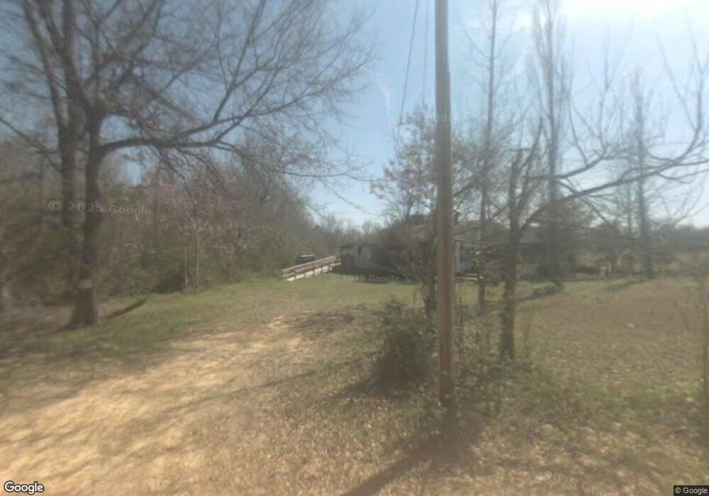
4494 Nessmith Rd Statesboro, GA 30458
Estimated Value: $62,461 - $236,000
2
Beds
1
Bath
1,190
Sq Ft
$153/Sq Ft
Est. Value
About This Home
This home is located at 4494 Nessmith Rd, Statesboro, GA 30458 and is currently estimated at $182,115, approximately $153 per square foot. 4494 Nessmith Rd is a home located in Bulloch County with nearby schools including Julia P. Bryant Elementary School, Statesboro High School, and William James Middle School.
Ownership History
Date
Name
Owned For
Owner Type
Purchase Details
Closed on
Feb 7, 2024
Sold by
Sunset Land Investments Llc
Bought by
R & R529 Llc
Current Estimated Value
Purchase Details
Closed on
Oct 30, 2006
Sold by
Not Provided
Bought by
Peacock Debbie N
Home Financials for this Owner
Home Financials are based on the most recent Mortgage that was taken out on this home.
Original Mortgage
$9,823
Interest Rate
6.27%
Mortgage Type
New Conventional
Purchase Details
Closed on
May 3, 2005
Bought by
Fmb Properties Inc
Create a Home Valuation Report for This Property
The Home Valuation Report is an in-depth analysis detailing your home's value as well as a comparison with similar homes in the area
Home Values in the Area
Average Home Value in this Area
Purchase History
| Date | Buyer | Sale Price | Title Company |
|---|---|---|---|
| R & R529 Llc | $18,000 | -- | |
| Peacock Debbie N | -- | -- | |
| Fmb Properties Inc | -- | -- |
Source: Public Records
Mortgage History
| Date | Status | Borrower | Loan Amount |
|---|---|---|---|
| Previous Owner | Peacock Debbie N | $9,823 |
Source: Public Records
Tax History Compared to Growth
Tax History
| Year | Tax Paid | Tax Assessment Tax Assessment Total Assessment is a certain percentage of the fair market value that is determined by local assessors to be the total taxable value of land and additions on the property. | Land | Improvement |
|---|---|---|---|---|
| 2024 | $381 | $17,320 | $4,720 | $12,600 |
| 2023 | $366 | $15,240 | $3,800 | $11,440 |
| 2022 | $281 | $12,840 | $3,168 | $9,672 |
| 2021 | $255 | $11,370 | $3,168 | $8,202 |
| 2020 | $241 | $10,675 | $2,640 | $8,035 |
| 2019 | $240 | $10,595 | $2,640 | $7,955 |
| 2018 | $234 | $9,914 | $2,200 | $7,714 |
| 2017 | $227 | $9,512 | $2,200 | $7,312 |
| 2016 | $231 | $9,449 | $2,200 | $7,250 |
| 2015 | $221 | $9,032 | $2,200 | $6,833 |
| 2014 | $204 | $9,032 | $2,200 | $6,833 |
Source: Public Records
Map
Nearby Homes
- 296 Tavern Ln
- 292 Tavern Ln
- 237 Tavern Ln
- 7268 Banks Dairy Rd
- 1900 Erin Way
- 8433 Banks Dairy Rd
- 8435 Banks Dairy Rd
- 4008 Carolina Trail
- 1004 Chase Ct
- 1002 Chase Ct
- 1009 Hunters Pointe Dr
- 2001 Glen Oaks Dr
- 114 Emit Deal Rd
- 500 Retriever Ct
- 809 Woods Hole Cir
- 829 Woods Hole Cir
- 415 Woodland Trail
- 682 Eugene Deal Rd
- 11 Myrtle Ln
- LOT 24 Plantation Cir
- 4497 Nessmith Rd
- 1836 Friendship Church Rd
- 1665 Friendship Church Rd
- 1665 Friendship Church Rd
- 1619 Friendship Church Rd
- 1710 Friendship Church Rd
- 1589 Friendship Church Rd
- 1553 Friendship Church Rd
- 4037 Nessmith Rd
- 3300 Williams Rd
- 3614 Williams Rd
- 437 Mike Akins Rd
- 3640 Williams Rd
- 391 Mike Akins Rd
- 822 Herons Walk
- 0 Waterford Place Unit LOT 9 7029873
- 3041 Williams Rd
- 3041 Williams Rd
- 1412 Friendship Church Rd
- 237 Mike Akins Rd