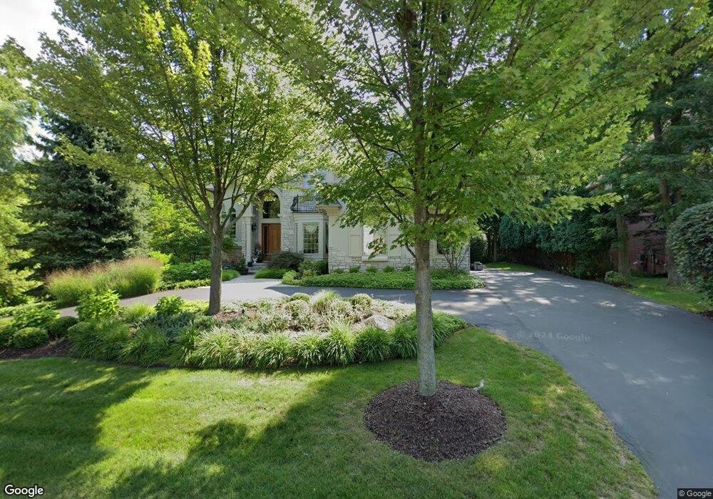
4495 Forest Edge Ln West Bloomfield, MI 48323
Estimated Value: $1,109,000 - $1,289,605
5
Beds
5
Baths
4,436
Sq Ft
$273/Sq Ft
Est. Value
About This Home
This home is located at 4495 Forest Edge Ln, West Bloomfield, MI 48323 and is currently estimated at $1,210,401, approximately $272 per square foot. 4495 Forest Edge Ln is a home located in Oakland County with nearby schools including Walled Lake Central High School, The Susan And Rabbi Harold Loss Ecc, and Brookfield Academy - West Bloomfield.
Ownership History
Date
Name
Owned For
Owner Type
Purchase Details
Closed on
May 28, 2009
Sold by
Bouchillon Mark A and Bouchillon Kristen R
Bought by
Patel Pravin
Current Estimated Value
Purchase Details
Closed on
Nov 21, 2002
Sold by
Bing Construction Co
Bought by
Bouchillon Mark A
Purchase Details
Closed on
May 10, 2002
Sold by
Ridge Forest
Bought by
Bing Construction Co
Purchase Details
Closed on
May 17, 2001
Sold by
Woods Forest North
Bought by
Ridge Forest
Create a Home Valuation Report for This Property
The Home Valuation Report is an in-depth analysis detailing your home's value as well as a comparison with similar homes in the area
Home Values in the Area
Average Home Value in this Area
Purchase History
| Date | Buyer | Sale Price | Title Company |
|---|---|---|---|
| Patel Pravin | -- | Fidelity Natl Title Ins Co | |
| Bouchillon Mark A | $1,063,500 | -- | |
| Bing Construction Co | -- | -- | |
| Ridge Forest | -- | -- |
Source: Public Records
Tax History Compared to Growth
Tax History
| Year | Tax Paid | Tax Assessment Tax Assessment Total Assessment is a certain percentage of the fair market value that is determined by local assessors to be the total taxable value of land and additions on the property. | Land | Improvement |
|---|---|---|---|---|
| 2024 | $8,238 | $567,790 | $0 | $0 |
| 2022 | $7,767 | $476,540 | $37,500 | $439,040 |
| 2021 | $12,855 | $444,460 | $0 | $0 |
| 2020 | $7,675 | $440,850 | $37,500 | $403,350 |
| 2018 | $12,459 | $373,610 | $37,500 | $336,110 |
| 2015 | -- | $405,680 | $0 | $0 |
| 2014 | -- | $368,460 | $0 | $0 |
| 2011 | -- | $313,420 | $0 | $0 |
Source: Public Records
Map
Nearby Homes
- 6140 Pontiac Trail
- 000 Pontiac Trail
- 6100 Pontiac Trail
- 7545/7585 Pontiac Trail
- 7585/7548 Pontiac Trail
- 5994 Glen Eagles Dr
- 4540 Rolling Pine Ct
- 5215 Deer Run Cir
- 5160 Greenbriar Dr
- 5435 Tequesta Dr
- 6675 Langtoft St
- 7836 Trailside Ct
- 7230 Walnut Lake Lot 1 Rd
- 0000 Orchard Lake
- 7230 Walnut Lake Rd - Lot 2 Rd
- 0000 Langtoft
- 3701 Northwood
- 6433 Walnut Lake Rd
- 4442 Borland St
- 4066 Green Lake Rd
- 4505 Forest Edge Ln
- 4519 Forest Edge Ln Unit 16
- 4496 Forest Edge Ln Unit 2
- 4502 Forest Edge Ln
- 4484 Forest Edge Ln Unit 1
- 4514 Forest Edge Ln Unit 4
- 4537 Forest Edge Ln Unit 15
- 4597 Forest Edge Ln
- 5911 Pontiac Trail
- 4528 Forest Edge Ln
- 4590 Rue Demers
- 5980 Pontiac Trail
- 4534 Forest Edge Ln Unit 6
- 5990 Pontiac Trail
- 5990 Pontiac Trail
- 6055 Pontiac Trail
- 5861 Pontiac Trail
- V/L Pontiac Trail
- 0 Pontiac Trail
- Vacant Pontiac Trail