4495 Highway 32 Ashton, ID 83420
Estimated Value: $476,000 - $779,000
4
Beds
1
Bath
2,350
Sq Ft
$283/Sq Ft
Est. Value
About This Home
This home is located at 4495 Highway 32, Ashton, ID 83420 and is currently estimated at $666,161, approximately $283 per square foot. 4495 Highway 32 is a home with nearby schools including Henrys Fork Elementary School, South Fremont Junior High School, and South Fremont High School.
Create a Home Valuation Report for This Property
The Home Valuation Report is an in-depth analysis detailing your home's value as well as a comparison with similar homes in the area
Tax History
| Year | Tax Paid | Tax Assessment Tax Assessment Total Assessment is a certain percentage of the fair market value that is determined by local assessors to be the total taxable value of land and additions on the property. | Land | Improvement |
|---|---|---|---|---|
| 2025 | $1,243 | $297,935 | $193,186 | $104,749 |
| 2024 | $1,281 | $292,079 | $192,865 | $99,214 |
| 2023 | $1,316 | $288,670 | $191,905 | $96,765 |
| 2022 | $1,653 | $250,082 | $166,905 | $83,177 |
| 2021 | $1,822 | $211,220 | $162,419 | $48,801 |
| 2020 | $1,887 | $206,955 | $160,816 | $46,139 |
| 2019 | $1,862 | $206,955 | $160,816 | $46,139 |
| 2018 | $964 | $90,092 | $63,097 | $26,995 |
| 2017 | $10 | $80,710 | $54,608 | $26,102 |
| 2016 | $989 | $80,710 | $54,608 | $26,102 |
| 2015 | $975 | $119,393 | $0 | $0 |
| 2014 | $956 | $80,710 | $0 | $0 |
| 2013 | $956 | $120,096 | $0 | $0 |
Source: Public Records
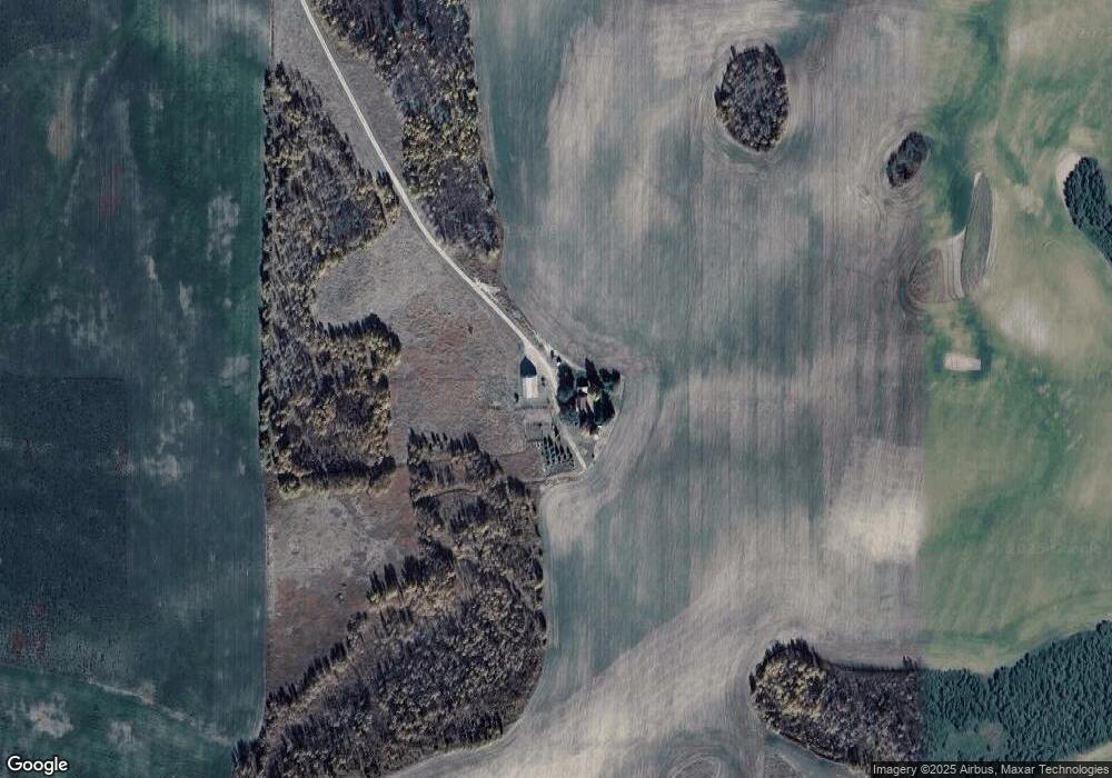
Map
Nearby Homes
- 0 N 4600 E
- TBD N 4600 E
- 775 N 4700 E
- 775 N N 4700 E
- 6995 W 14500 N
- TBD Hwy 32
- LOT 2 W 10000 N
- TBD Woodrush Rd
- 3525 W 13000 N
- 0 Reece Rd
- TBD E 700 N
- Lot 19 E 1200 Rd N
- Lot 16 E 1200 Rd N
- Lot 18 E 1200 Rd N
- Lot 17 E 1200 Rd N
- L12 BLK 1 E 1200 Rd N
- 9916 Angler Point
- LOT 3 Wells Ave
- 9495 River Rim Ranch Rd Unit 7
- 0 River Rim Ranch Rd Unit 25-803
Your Personal Tour Guide
Ask me questions while you tour the home.